Broad Run in Prince William County, Virginia — The American South (Mid-Atlantic)
Bull Run Mountains Natural Area Preserve
What is a Natural Area Preserve?
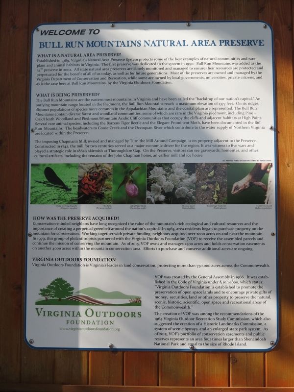
Established in 1989, Virginia's Natural Area Preserve System protects some of the best examples of natural communities and rare plant and animal habitats in Virginia. The first preserve was dedicated to the system in 1990. Bull Run Mountains was added as the 34th preserve in 2002. All state natural area preserves are closely monitored and managed to ensure their resources are protected and perpetuated for the benefit of all of us today, as well as for future generations. Most of the preserves are owned and managed by the Virginia Department of Conservation and Recreation, while some are owned by local governments, universities, private citizens, and as is the case here at Bull Run Mountains, by the Virginia Outdoors Foundation.
What is being preserved?
The Bull Run Mountains are the easternmost mountains in Virginia and have been called the “backdrop of our nation's capital.” An outlying mountain range located in the Piedmont, the Bull Run Mountains reach a maximum elevation of 1377 feet. On its ridges, disjunct populations of species more common in the Appalachian Mountains and the coastal plain are represented. The Bull Run Mountains contain diverse forest and woodland communities, some of which are rare in the Virginia piedmont, including Pine-Oak/Heath Woodland and Piedmont/Mountain Acidic Cliff communities that occupy the cliffs and adjacent habitats at High Point. Several rare animal species, including the Barrens Tiger Beetle and the Elegant Prominent Moth, have been documented in the Bull Run Mountains. The headwaters to Goose Creek and the Occoquan River which contribute to the water supply of Northern Virginia are located within the Preserve.
The imposing Chapman's Mill, owned and operated by Turn the Mill Around Campaign, is on the property adjacent to the Preserve. Constructed in 1742, the mill for two centuries served as a major economic driver for the region. It was witness to five wars and played a strategic role in 1862's skirmish at Thoroughfare Gap. On the Preserve, visitors can see graveyards, homesites, and other cultural artifacts, including the remains of the John Chapman home, an earlier mill and ice house
How was the Preserve acquired?
Conservation-minded neighbors have long recognized the value of the mountain's rich ecological and cultural resources and the importance of creating a perpetual greenbelt around the nation's capitol. In 1965, area residents began to purchase property on the mountain for conservation. Working together with private funding, neighbors acquired over 2000 acres on and near the mountain. IN 1979, this group of philanthropists partnered with the Virginia Outdoors Foundation (VOF) to receive the assembled parcels and continue the mission of conserving the mountain. As of 2015, VOF owns and manages 2300 acres and holds conservation easements on another 4000 acres within the mountain conservation area. Efforts to purchase and conserve additional acres are ongoing.
Virginia Outdoors Foundation
Virginia Outdoors Foundation is Virginia's leader in land conservation, protecting more than 750,000 acres across the Commonwealth.
VOF was created by the General Assembly in 1966. It was established in the Code of Virginia under § 10.1-1800, which states: "Virginia Outdoors Foundation is established to promote the preservation of open space lands and to encourage private gifts of money, security, land or other property to preserve the natural, scenic, historic, scientific, open space and recreational areas of the Commonwealth."
The creation of VOF was among the recommendations of the 1964 Virginia Outdoor Recreation Study Commission, which also suggested the creation of a Historic Landmarks Commission, a system of scenic byways, and an enlarged state park system. As of 2015, VOF's portfolio of conservation easements and public reserves represents an area four times larger than Shenandoah National Park and equal to the size of Rhode Island.
Virginia Outdoors Foundation
www.virginiaoutdoorsfoundation.org
(captions)
All photos taken on the preserve by Janis Stone
Ebony Jewelwing Dragonfly
(Calopteryx masculata)
Box Turtle
(Terrapene carolina)
Lady's Slipper Orchid
(Cypripedium acaule)
Mountain Laurel
(Kalmia latifolia)
Eastern Tiger Swallowtail
(Papilio glaucus)
Eastern Fence Lizard
(Sceloporus undulatus)
Erected by Virginia Outdoors Foundation.
Topics. This historical marker is listed in this topic list: Environment. A significant historical year for this entry is 1989.
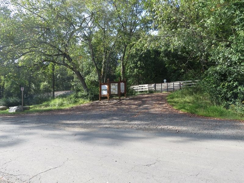
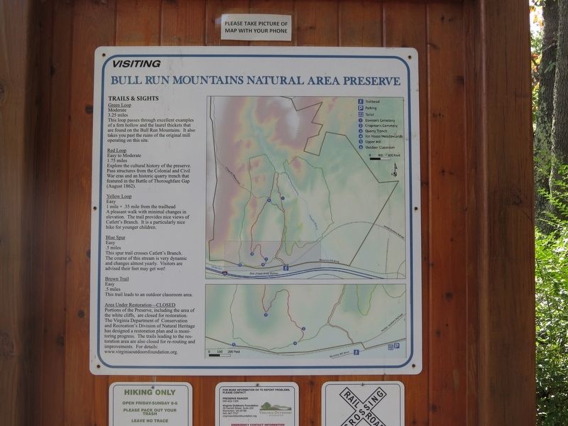
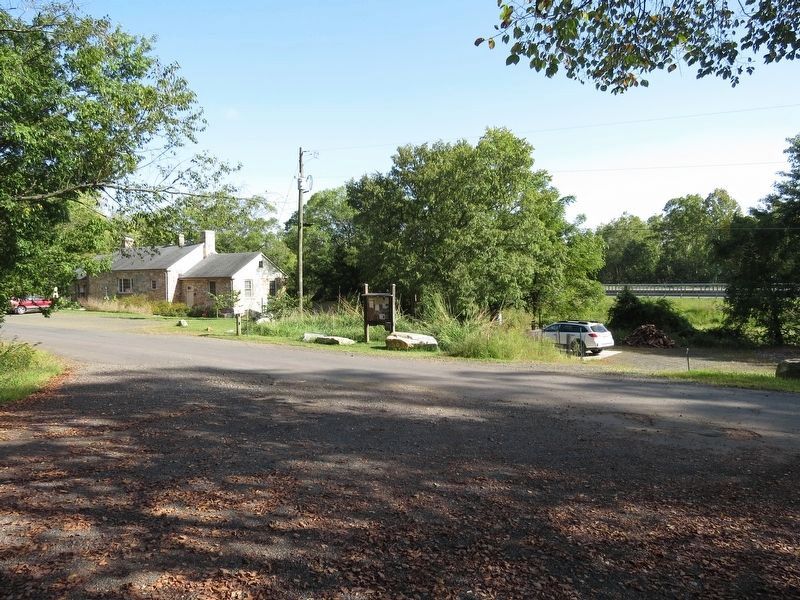
Location. This marker has been replaced by another marker nearby. It was located near 38° 49.489′ N, 77° 42.383′ W. Marker was in Broad Run, Virginia, in Prince William County. Marker was on Beverly Mill Drive, 0.8 miles west of Turner Road (Virginia Route 723), on the right when traveling west. Touch for map. Marker was at or near this postal address: 17502 Beverley Mill Drive, Broad Run VA 20137, United States of America. Touch for directions.
Other nearby markers. At least 8 other markers are within 2 miles of this location, measured as the crow flies. A different marker also named Bull Run Mountains Natural Area Preserve (here, next to this marker); Chapman's Mill (within shouting distance of this marker); Thoroughfare Gap (approx. ¼ mile away); a different marker
also named Thoroughfare Gap (approx. ¼ mile away); Campaign of Second Manassas (approx. ¼ mile away); Heflin's Store (approx. 1.4 miles away); Free People Of Color At Thoroughfare (approx. 1.6 miles away); The Thoroughfare Colored / North Fork School (approx. 1.8 miles away). Touch for a list and map of all markers in Broad Run.
Related marker. Click here for another marker that is related to this marker. This marker has been replaced with the linked marker which has different content.
Also see . . .
1. Bull Run Mountains Natural Area Preserve. Virginia Outdoors Foundation (Submitted on September 19, 2017, by Samuel Paik of Gainesville, Virginia.)
2. Bull Run Mountains Conservancy. BMRC conducts interpretive and educational programs on the preserve (Submitted on September 19, 2017, by Samuel Paik of Gainesville, Virginia.)
3. Bull Run Mountains Natural Area Preserve. Virginia Department of Conservation and Recreation (Submitted on September 19, 2017, by Samuel Paik of Gainesville, Virginia.)
4. Potomac Appalachian Trail Club. PATC provides trail management assistance to the Virginia Outdoors Foundation at Bull Run Mountains Natural Area Preserve (Submitted on September 19, 2017, by Samuel Paik of Gainesville, Virginia.)
Credits. This page was last revised on January 2, 2021. It was originally submitted on September 19, 2017, by Samuel Paik of Gainesville, Virginia. This page has been viewed 413 times since then and 16 times this year. Photos: 1, 2, 3, 4. submitted on September 19, 2017, by Samuel Paik of Gainesville, Virginia. • Bernard Fisher was the editor who published this page.


