Views of St. Catherine Street - Western End
Natchez Trails
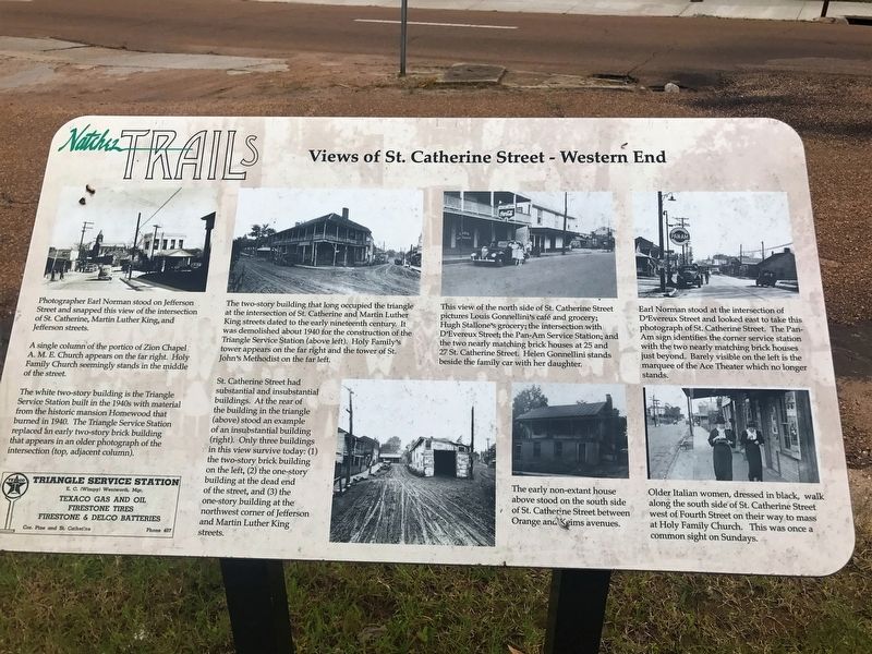
Photographer Earl Norman stood on Jefferson Street and snapped this view of the intersection of St. Catherine, Martin Luther King and Jefferson streets.
A single column of the portico of Zion Chapel A.M.E. Church appears on the far right. Holy Family Church seemingly stands in the middle of the street.
The white two-story building is the Triangle Service Station built in the 1940s with material from the historical mansion Homewood that burned in 1940. The Triangle Service Station replaced an early two-story brick building that appears in an older photograph of the intersection (top,adjacent column).
The two-story building that occupied the triangle at the intersection of St. Catherine and Martin Luther King streets dated to the early nineteenth century. It was demolished about 1940 for the construction of the Triangle Service Station (above left). Holy Family's tower appears on the far right and the tower of St. John's Methodist on the far left.
St. Catherine Street had substantial and insubstantial buildings. At the rear of the building in the triangle (above) stood an example of an insubstantial building (right). Only three buildings in this view survive today: (1) the two-story brick building on the left, (2) the one-story building at the dead end of the street, and (3) the one-story building at the northwest corner of
Jefferson and Martin Luther King streets.This view of the north side of St. Catherine Street pictures Louis Gonnellini's café and grocery; Hugh Stallone's grocery; the intersection with D'Evereux Street; the Pan-Am Service Station; and the two nearly matching brick houses at 25 and 27 St. Catherine Street. Helen Gonnellini stands beside the family car with her daughter.
The early non-extant house above stood on the south side of St. Catherine Street between Orange and Keims avenues.
Earl Norman stood at the intersection of D'Evereux Street and looked east to take this photograph of St. Catherine Street. The Pan-Am sign identifies the corner service station with the two nearly matching brick houses just beyond. Barely visible on the left is the marquee of the Ace Theater which no longer stands.
Older Italian women, dressed in black, walk along the south side of St. Catherine Street west of Fourth Street on their way to mass at Holy Family Church. This was once a common site on Sundays.
Erected by City Of Natchez.
Topics and series. This historical marker is listed in these topic lists: African Americans • Roads & Vehicles • Settlements & Settlers. In addition, it is included in the African Methodist Episcopal (AME) Church, and the Mississippi - Natchez Trails series lists.
Location.
Other nearby markers. At least 8 other markers are within walking distance of this marker. Rhythm Night Club (within shouting distance of this marker); Rhythm Club Fire (within shouting distance of this marker); Hospital Hill Neighborhood (within shouting distance of this marker); Natchez NAACP Headquarters (within shouting distance of this marker); Churches in the St. Catherine Street Neighborhood (within shouting distance of this marker); 20-30 St. Catherine Street and Eduation (within shouting distance of this marker); 300 Block of Martin Luther King Street (within shouting distance of this marker); Dr. John Banks House - 9 St. Catherine Street (within shouting distance of this marker). Touch for a list and map of all markers in Natchez.
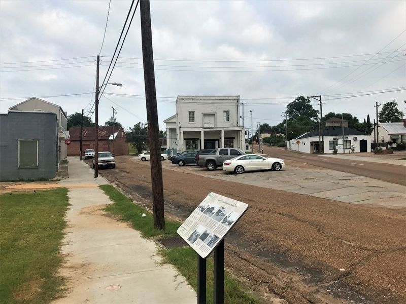
More about this marker. St. Catherine Street is one way westbound at this location.
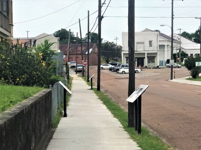
Part of the Natchez Trails "St. Catherine Street" walking tour.
Credits. This page was last revised on September 22, 2017. It was originally submitted on September 22, 2017, by Cajun Scrambler of Assumption, Louisiana. This page has been viewed 319 times since then and 29 times this year. Photos: 1, 2, 3. submitted on September 22, 2017.


