Near Spruce Pine in Mitchell County, North Carolina — The American South (South Atlantic)
Gillespie Gap
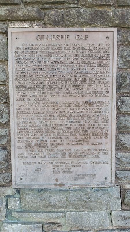
The only regiment intact in the Carolinas, East of King's Mountain at this time was the Marion Brigade. Famous in song and story. Commanded by General Francis Marion. In the war with the Cherokee Indians, in 1761, 30 men under the command of Marion were sent to dislodge the Indians in Etchoe Pass, so the main army could go through. 21 of the men under Marion were killed by the first fire of the Indians. Marion was unhurt. The heroism of the early patriots should never be forgotten. The conduct of Marion and his men in Etchoe Pass almost equaled the heroism of Leonidas and his brave band of Spartans at the pass of Thermopylae.
This highway leading to Marion is named in his honor Etchoe Pass.
It was the North Carolina and South Carolina and Tennessee troops—the 30th Division—in the World War that broke the Hindenburg Line.
Erected by North Carolina Historical Commission.
Topics. This memorial is listed in these topic lists: War, US Revolutionary • War, World I • Wars, US Indian. A significant historical date for this entry is September 29, 1780.
Location. 35° 51.259′ N, 82° 3.074′ W. Marker is near Spruce Pine, North Carolina, in Mitchell County. Memorial can be reached from Parkway Maintenance Road, 0.1 miles west of State Highway 226, on the left when traveling west. This marker is behind the Museum of North Carolina Minerals. Touch for map. Marker is at or near this postal address: 79 Parkway Maintenance Rd, Spruce Pine NC 28777, United States of America. Touch for directions.
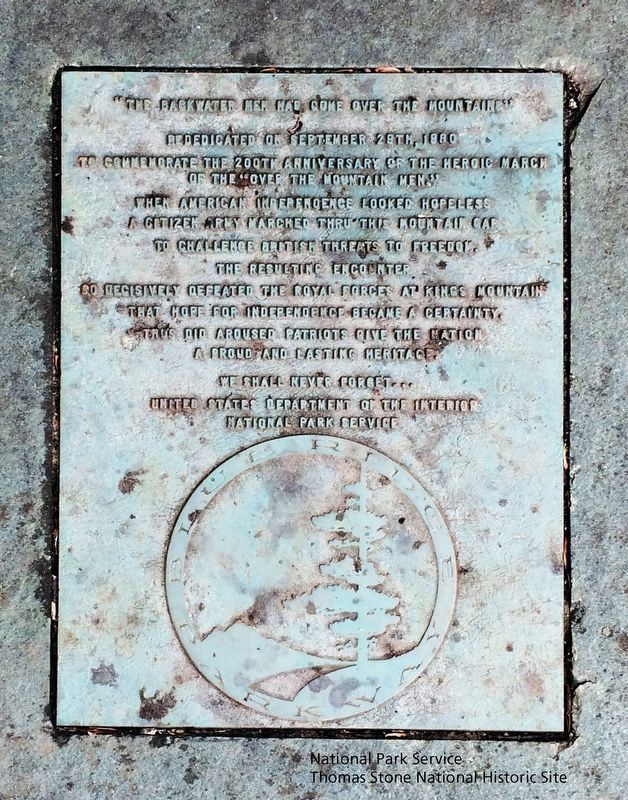
Other nearby markers. At least 8 other markers are within 5 miles of this marker, measured as the crow flies. "The Blackwater Men Had Come Over the Mountain" (within shouting distance of this marker); Spruce Pine Mining District (about 400 feet away, measured in a direct line); The Loops (approx. 2 miles away); Sounds From the Mountains (approx. 2 miles away); First Mountain Parkway (approx. 3.1 miles away); Apple Tree (approx. 3.8 miles away); Cathey's Fort (approx. 4 miles away); Near This Point (approx. 4.4 miles away). Touch for a list and map of all markers in Spruce Pine.
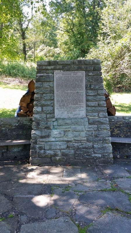
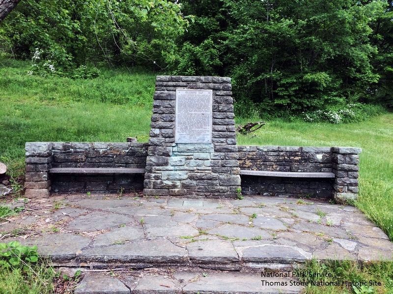
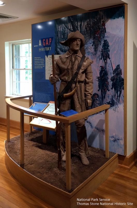
More about this marker. The Gillespie Gap monument was originally located nearby in McDowell County where the Overmountain Men camped on September 29, 1780. It was relocated in 1955 during construction of the Museum of North Carolina Minerals. The museum was dedicated on June 17, 1955 by Governor Luther Hodges. The “The Blackwater Men Had Come Over the Mountain” Marker was added September 29th, 1980.
Also see . . .
1. Museum of North Carolina Minerals, Blue Ridge Parkway, National Park Service. The marker is located adjacent to this museum. (Submitted on August 28, 2019.)
2. Gillespie Gap Monument, Spruce Pine, Commemorative Landscapes of North Carolina. Link tells history of the Gillespie Gap Monument and the marker. (Submitted on August 28, 2019.)
3. Overmountain Victory National Historic Trail, National Park Service. Marker is recognized as part of the trail. (Submitted on August 28, 2019.)
Credits. This page was last revised on January 20, 2020. It was originally submitted on September 23, 2017, by Frank Harder Sr. of Dumfries, Virginia. This page has been viewed 671 times since then and 57 times this year. Last updated on August 29, 2019. Photos: 1, 2. submitted on September 23, 2017, by Frank Harder Sr. of Dumfries, Virginia. 3, 4, 5. submitted on August 28, 2019. • Bernard Fisher was the editor who published this page.
