Jackson in East Feliciana Parish, Louisiana — The American South (West South Central)
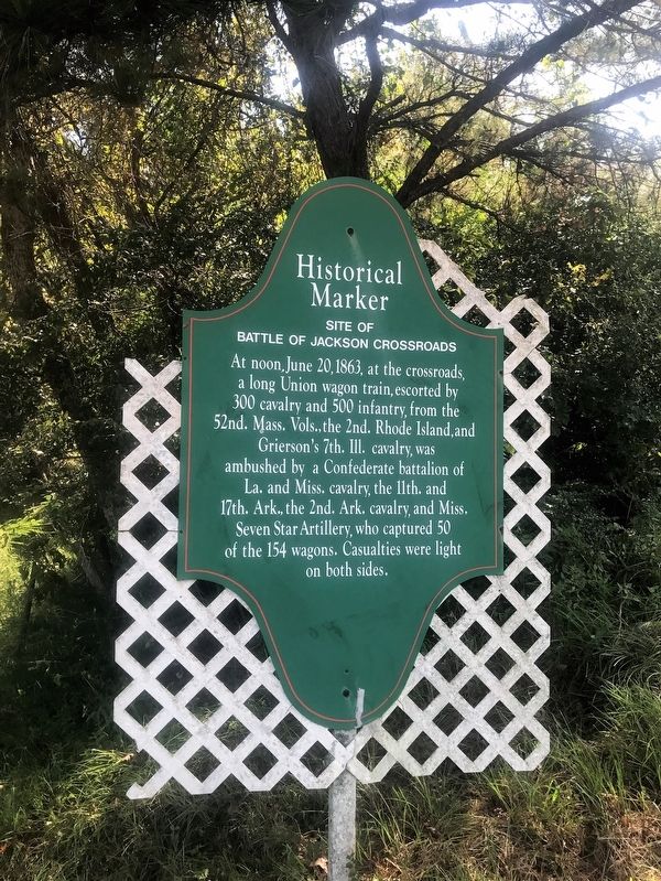
Site of Battle of Jackson Crossroads
At noon, June 20, 1863, at the crossroads, a long Union wagon train, escorted by 300 cavalry and 500 infantry, from the 52nd. Mass, Vols., the 2nd. Rhode Island, and Grierson's 7th Ill. cavalry, was ambushed by a Confederate battalion of La. and Miss. cavalry, the 11th and 17th Ark., the 2nd. Ark cavalry, and Miss. Seven Star Artillery, who captured 50 of the 154 wagons. Casualties were light on both sides.
Topics. This historical marker is listed in these topic lists: Roads & Vehicles • War, US Civil. A significant historical date for this entry is June 20, 1863.
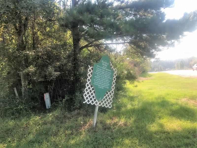
Location. 30° 50.093′ N, 91° 11.168′ W. Marker is in Jackson, Louisiana, in East Feliciana Parish. Marker is at the intersection of Carrs Creek Road (State Highway 68) and Charter Street (State Highway 10), on the right when traveling north on Carrs Creek Road. Touch for map. Marker is in this post office area: Jackson LA 70748, United States of America. Touch for directions.
Other nearby markers. At least 8 other markers are within 2 miles of this marker, measured as the crow flies. Centenary State Historic Site (approx. 1.4 miles away); Crown Metal Products Narrow Gauge Locomotive #2 (approx. 1.6 miles away); First European Settlers (approx. 1.6 miles away); a different marker also named Centenary State Historic Site (approx. 1.6 miles away); a different marker also named Centenary State Historic Site (approx. 1.6 miles away); Burial Site of Lt. Col. John C. McKowen (approx. 1.6 miles away); Centenary College's Main Academic Building (approx. 1.6 miles away); Pvt. Joe Fluker C.S.A. Died Here (approx. 1.6 miles away). Touch for a list and map of all markers in Jackson.
Credits. This page was last revised on June 23, 2023. It was originally submitted on September 23, 2017, by Cajun Scrambler of Assumption, Louisiana. This page has been viewed 661 times since then and 46 times this year. Photos: 1, 2. submitted on September 23, 2017.

