Arkansas Post in Arkansas County, Arkansas — The American South (West South Central)
The European Settlement
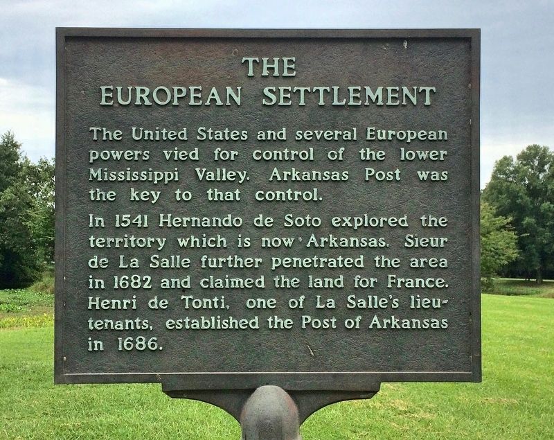
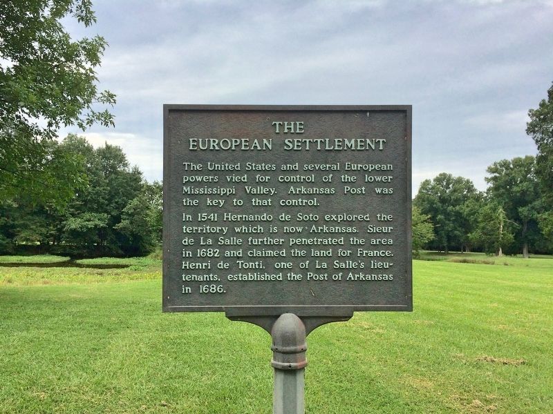
The United States and several European powers vied for control of the lower Mississippi Valley. Arkansas Post was the key to that control.
In 1541 Hernando de Soto explored the territory which is now Arkansas. Sieur de La Salle further penetrated the area in 1682 and claimed the land for France. Henri de Tonti, one of La Salle's lieutenants, established the Post of Arkansas in 1686.
Erected by National Park Service, U.S. Department of the Interior.
Topics. This historical marker is listed in these topic lists: Colonial Era • Exploration • Settlements & Settlers. A significant historical year for this entry is 1541.
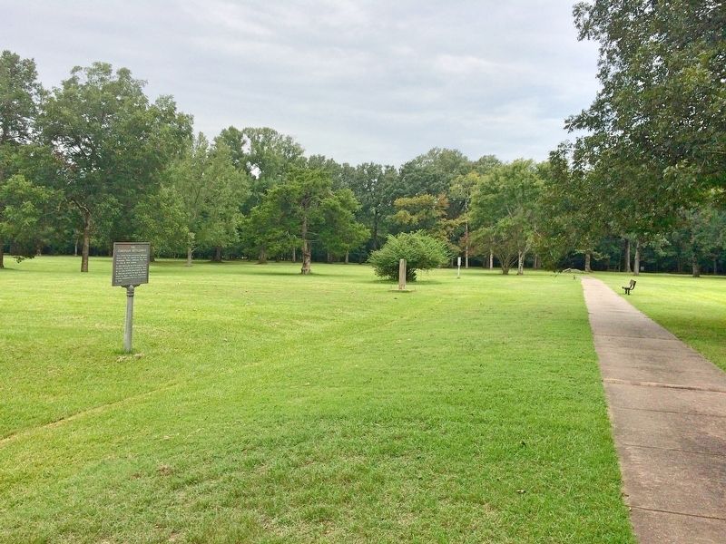
Location. 34° 1.057′ N, 91° 20.835′ W. Marker is in Arkansas Post, Arkansas, in Arkansas County. Marker can be reached from Old Post Road south of State Route 169. Located just northwest of the visitors center. Touch for map. Marker is at or near this postal address: 1741 Old Post Road, Gillett AR 72055, United States of America. Touch for directions.
Other nearby markers. At least 8 other markers are within walking distance of this marker. Stone from Ruins of Old Bank (a few steps from this marker); The Post of Arkansas (within shouting distance of this marker); The Post under Spain (within shouting distance of this marker); The French Period (within shouting distance of this marker); Republican France (about 300 feet away, measured in a direct line); The American Era (about 500 feet away); Edge of Empires (about 700 feet away); The Colbert Raid (about 700 feet away). Touch for a list and map of all markers in Arkansas Post.
Credits. This page was last revised on August 30, 2020. It was originally submitted on September 24, 2017, by Mark Hilton of Montgomery, Alabama. This page has been viewed 715 times since then and 27 times this year. Photos: 1, 2, 3, 4. submitted on September 24, 2017, by Mark Hilton of Montgomery, Alabama.


