West Islip in Suffolk County, New York — The American Northeast (Mid-Atlantic)
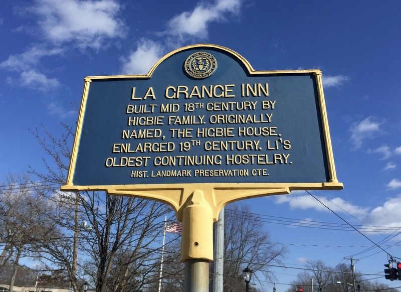
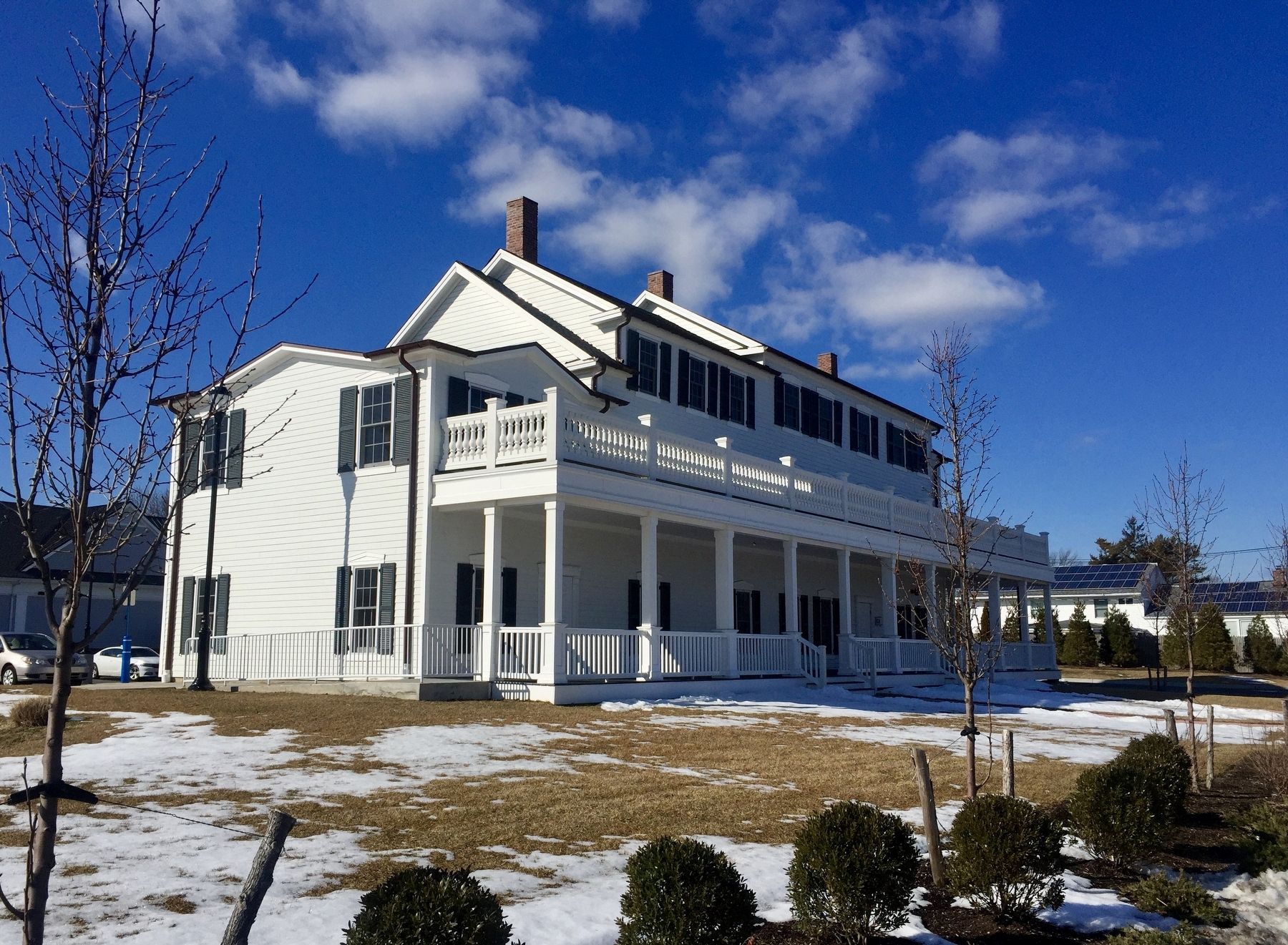
La Grange Inn
Higbie Family. Originally
named, the Higbie House.
Enlarged 19th Century. LI's
oldest continuing hostelry.
Erected by Historical Landmark Preservation Committee.
Topics. This historical marker is listed in this topic list: Industry & Commerce.
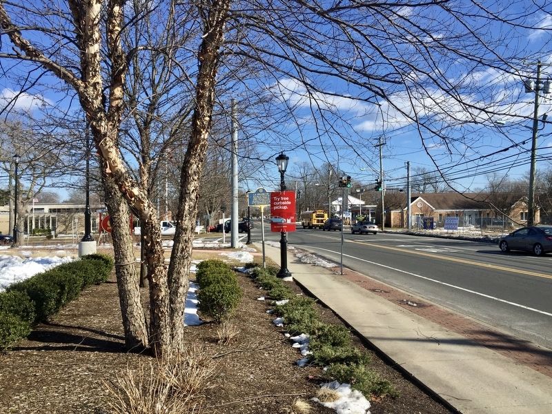
Location. 40° 41.815′ N, 73° 18.462′ W. Marker is in West Islip, New York, in Suffolk County. Marker is at the intersection of Montauk Highway and Higbie Lane on Montauk Highway. Touch for map. Marker is at or near this postal address: 499 Montauk Highway, West Islip NY 11795, United States of America. Touch for directions.
Other nearby markers. At least 8 other markers are within walking distance of this marker. Joseph F. Miller, Jr. (within shouting distance of this marker); Hawley's Pond (approx. half a mile away); Porters Landing (approx. 0.6 miles away); Babylon Station (approx. 0.8 miles away); Birth of the American Wireless (approx. 0.8 miles away); Suffrage Study Club (approx. 0.8 miles away); Conklin House (approx. 0.8 miles away); Auto Races (approx. 0.8 miles away). Touch for a list and map of all markers in West Islip.
Also see . . .
1. West Islip Historical Society celebrates its new home in the LaGrange Inn. Greater Bay Shore website entry (Submitted on October 10, 2023, by Larry Gertner of New York, New York.)
2. La Grange Inn: West Islip Institution Pre-Dates America’s Independence (Patch, 3/13/2013). (Submitted on September 27, 2017.)
Credits. This page was last revised on October 10, 2023. It was originally submitted on September 27, 2017, by Andrew Ruppenstein of Lamorinda, California. This page has been viewed 432 times since then and 61 times this year. Photos: 1, 2, 3. submitted on September 27, 2017, by Andrew Ruppenstein of Lamorinda, California.


