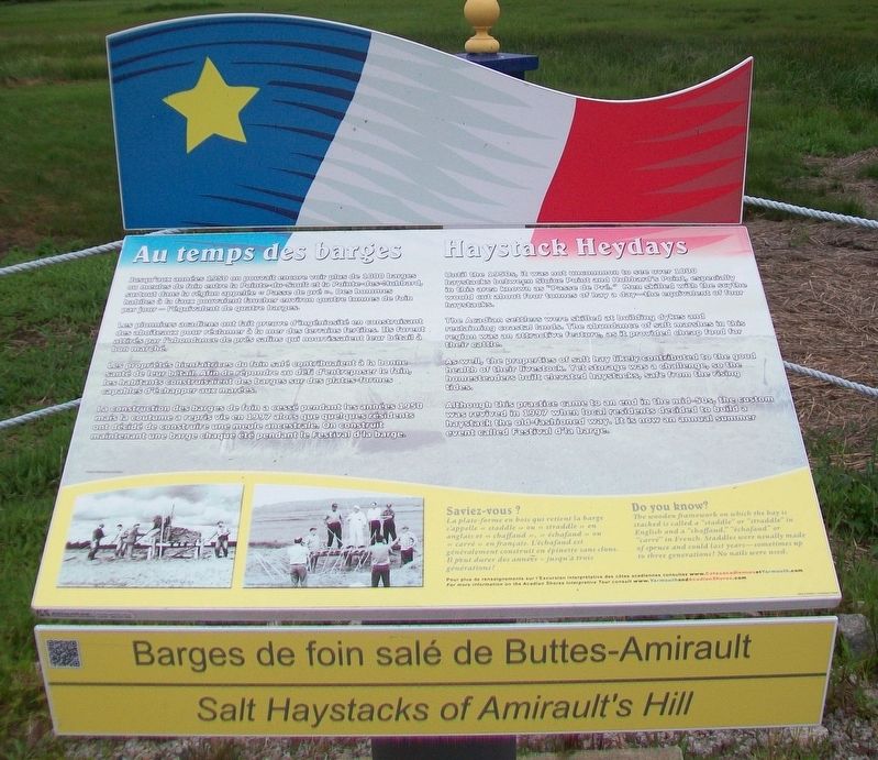
Barges de foin salé de Buttes-Amirault
Salt Haystacks of Amirault's Hill
Les pionniers acadiens ont fait preuve d'ingéniosité en construisant des aboiteaux pour réclamer à la mer des terrains fertiles. Ils furent attirés par l'abondance de prés salins qui nourrissaient leur bétail à bon marché.
Les propriétés bienfaitrices du foin salé contribuaient à la bonne santé de leur bétail. Afin de répondre au défi d'entreposer le foin, les habitants construisaient des barges sur des plates-formes capables d'échapper aux marées.
La construction des barges de foin a cessé pendant les années 1950 mais la coutume a repris vie en 1997 alors que quelques résidents ont décidé de construire une meule ancestrale. On construit maintenant une barge chaque été pendant le Festival d'la barge.
Saviez-vous ?
Pour plus de renseignements sur l'Excursion interprétive des côtes acadiennes consultez www.CotesacadiennesetYarmouth.com
The Acadian settlers were skilled at building dykes and reclaiming coastal lands. The abundance of salt marshes in this region was an attractive feature, as it provided cheap food for their cattle.
As well, the properties of salt hay likely contributed to the good health of their livestock. Yet storage was a challenge, so the homesteaders built elevated haystacks, safe from the rising tides.
Although this practice came to an end in the mid-50s, the custom was revived in 1997 when local residents decided to build a haystack the old-fashioned way. It is now an annual summer event called Festival d'la barge.
Do you know?
For more information on the Acadian Shores Interpretive Tour consult www.YarmouthandAcadianShores.com
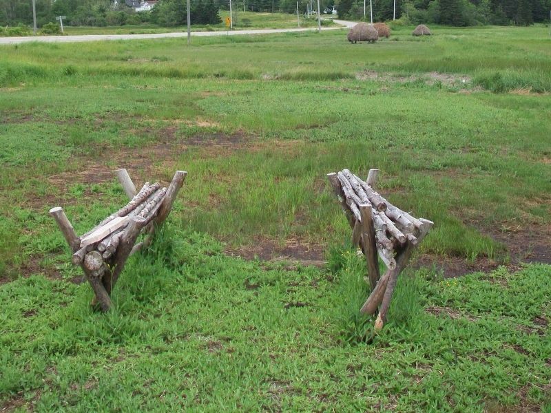
La plate-forme en bois qui retient la barge s'appelle « staddle » ou « straddle » en
Until the 1950s, it was not uncommon to see over 1000 haystacks between Sluice Point and Hubbard's Point, especially in this area known as "Passe de Pré." Men skilled with the scythe would cut about four tonnes of hay a day—the equivalent of four haystacks.
The wooden framework
Erected 2008.
Topics and series. This historical marker is listed in these topic lists: Environment • Man-Made Features • Settlements & Settlers • Waterways & Vessels. In addition, it is included in the Acadian History series list. A significant historical year for this entry is 1950.
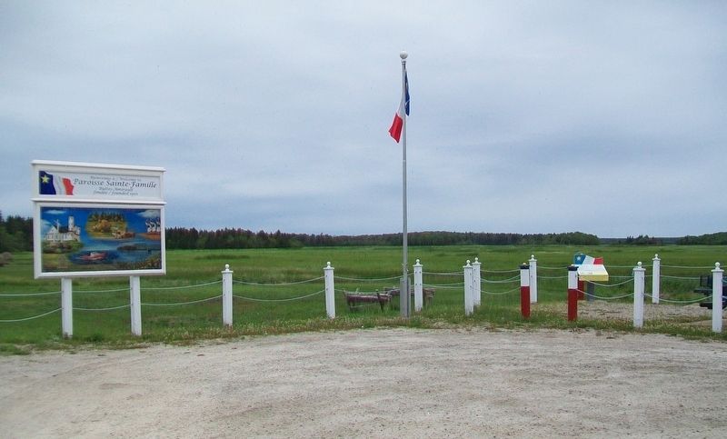
Location. 43° 49.313′ N, 65° 58.667′ W. Marker is in Hubbard's Point, Nova Scotia, in Yarmouth County. Marker is at the intersection of Nova Scotia Route 308 and Chemin des Gasson, on the right when traveling south on Provincial Route 308. Marker is at a roadside pull-off viewing area. Touch for map. Marker is in this post office area: Hubbard's Point NS B0W 2X0, Canada. Touch for directions.
Other nearby markers. At least 8 other markers are within 5 kilometers of this marker, measured as the crow flies. Lost at Sea / Perdus en Mer (approx. 3.6 kilometers away); Argyle Township Court House and Gaol (approx. 3.7 kilometers away); Palais de justice et Prison d’Argyle / Argyle Township Court House and Gaol
Also see . . .
1. Salt Hay Stacks. (Submitted on September 29, 2017, by William Fischer, Jr. of Scranton, Pennsylvania.)
2. Yarmouth and Acadian Shores. (Submitted on September 29, 2017, by William Fischer, Jr. of Scranton, Pennsylvania.)
Credits. This page was last revised on September 29, 2017. It was originally submitted on September 29, 2017, by William Fischer, Jr. of Scranton, Pennsylvania. This page has been viewed 319 times since then and 28 times this year. Photos: 1, 2, 3. submitted on September 29, 2017, by William Fischer, Jr. of Scranton, Pennsylvania.


