Camden in Benton County, Tennessee — The American South (East South Central)
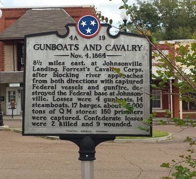
Gunboats and Cavalry
Nov. 4, 1864
Erected by Tennessee Historical Commission. (Marker Number 4A 19.)
Topics and series. This historical marker is listed in this topic list: War, US Civil. In addition, it is included in the Tennessee Historical Commission series list. A significant historical date for this entry is November 4, 1864.
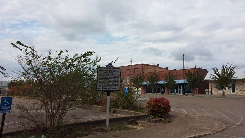
Location. 36° 3.509′ N, 88° 5.801′ W. Marker is in Camden, Tennessee, in Benton County. Marker is at the intersection of North Church Avenue and East Lake Stret, on the left when traveling north on North Church Avenue. Touch for map. Marker is at or near this postal address: 1 Court Square, Camden TN 38320, United States of America. Touch for directions.
Other nearby markers. At least 8 other markers are within 6 miles of this marker, measured as the crow flies. Senator Mildred Jolly Lashlee (within shouting distance of this marker); Thomas Clark Rye (within shouting distance of this marker); Mary Cordelia Beasley-Hudson (within shouting distance of this marker); David Benton (within shouting distance of this marker); Irish CSA Soldiers (approx. 0.8 miles away); "Tranquility" (approx. 0.8 miles away); One of Country Music's Darkest Days (approx. 3.6 miles away); Bombarding Johnsonville (approx. 5.4 miles away). Touch for a list and map of all markers in Camden.
Credits. This page was last revised on December 7, 2023. It was originally submitted on October 17, 2017, by Karen Emerson-McPeak of Triune, Tennessee. This page has been viewed 488 times since then and 21 times this year. Last updated on December 7, 2023, by Carl Gordon Moore Jr. of North East, Maryland. Photos: 1, 2. submitted on October 17, 2017, by Karen Emerson-McPeak of Triune, Tennessee. • J. Makali Bruton was the editor who published this page.

