Newfane in Windham County, Vermont — The American Northeast (New England)
West River Railroad
Newfane Railroad Station
Inscription.
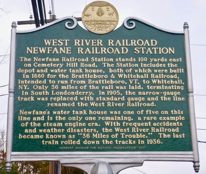
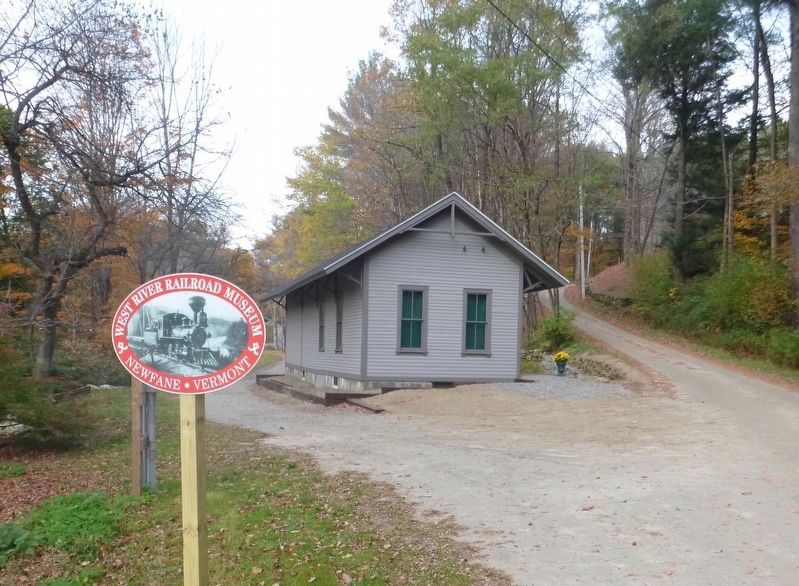
The Newfane Railroad Station stands 100 yards east on Cemetery Hill Road. The Station includes the depot and water tank house, both of which were built in 1880 for the Brattleboro & Whitehall Railroad, intended to run from Brattleboro, VT, to Whitehall, NY. Only 36 miles of the rail was laid, terminating in South Londonderry. In 1905, the narrow-gauge track was replaced with standard gauge and the line renamed the West River Railroad.
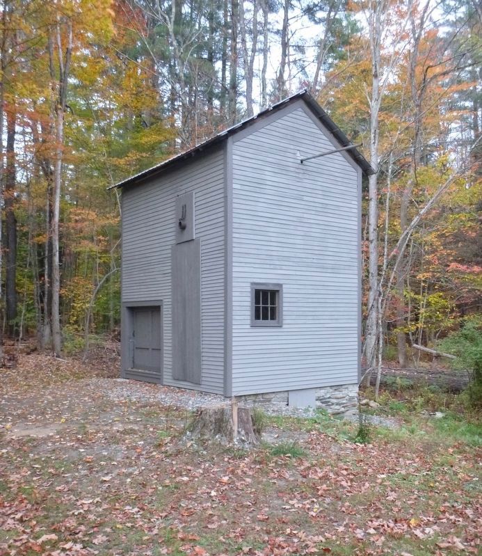
Newfane’s water tank house was one of five on this line and is the only one remaining, a rare example of the steam engine era. With frequent accidents and weather disasters, the West River Railroad became known as “36 Miles of Trouble.” The last train rolled down the tracks in 1936.
Erected 2017 by Vermont Division for Historic Preservation.
Topics. This historical marker is listed in this topic list: Railroads & Streetcars. A significant historical year for this entry is 1880.
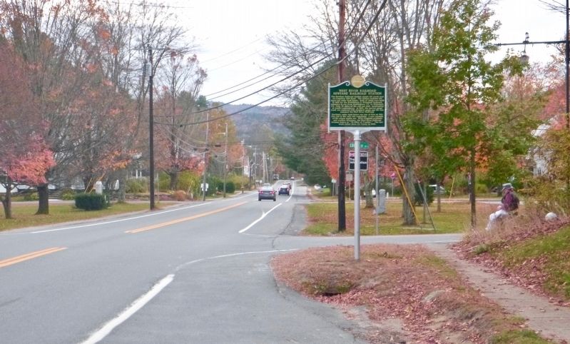
Location. 42° 59.179′ N, 72° 39.313′ W. Marker is in Newfane, Vermont, in Windham County. Marker is at the intersection of Vermont Route 30 and Jail Street, on the right when traveling south on State Route 30. Touch for map. Marker is at or near this postal address: 597 VT Route 30, Newfane VT 05345, United States of America. Touch for directions.
Other nearby markers. At least 8 other markers are within 7 miles of this marker, measured as the crow flies. Newfane World War II Monument (a few steps from this marker); Newfane Honor Roll (a few steps from this marker); In Memory of Jonathan Park (within shouting distance of this marker); Newfane Civil War Monument (within shouting distance of this marker); The Round Schoolhouse (approx. 3½ miles away); Scott Bridge (approx. 4.8 miles away); Simpsonville Stone Arch Bridge (approx. 5.8 miles away); Family Home of John Humphrey Noyes (approx. 6.6 miles away). Touch for a list and map of all markers in Newfane.
Credits. This page was last revised on February 16, 2023. It was originally submitted on October 24, 2017, by Dennis Gilkenson of Saxtons River, Vermont. This page has been viewed 290 times since then and 30 times this year. Photos: 1, 2, 3, 4. submitted on October 24, 2017, by Dennis Gilkenson of Saxtons River, Vermont. • Bill Pfingsten was the editor who published this page.


