Near Beaver in Raleigh County, West Virginia — The American South (Appalachia)
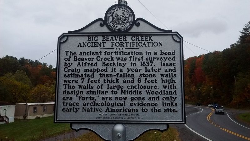
Big Beaver Creek Ancient Fortification
Erected 2016 by Raleigh County Historical Society; West Virginia Archives & History.
Topics and series. This historical marker is listed in this topic list: Native Americans. In addition, it is included in the West Virginia Archives and History series list. A significant historical year for this entry is 1837.
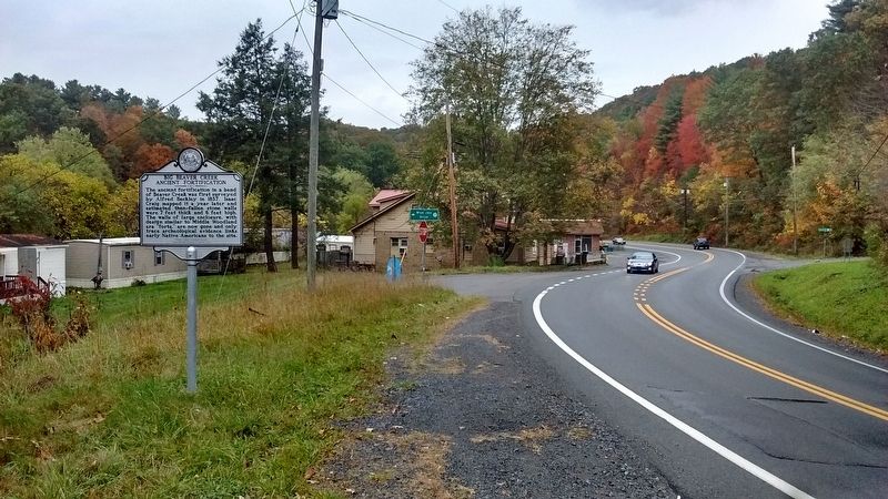
Location. 37° 45.092′ N, 81° 8.869′ W. Marker is near Beaver, West Virginia, in Raleigh County. Marker is at the intersection of Ritter Drive (West Virginia Route 19) and Blue Jay Drive, on the right when traveling south on Ritter Drive. Touch for map. Marker is in this post office area: Beaver WV 25813, United States of America. Touch for directions.
Other nearby markers. At least 8 other markers are within 2 miles of this marker, measured as the crow flies. Colonel Ernest E. Chilson (approx. 1.2 miles away); "The Most Modern Club": Black Knight (approx. 1.3 miles away); Beckley Mill (approx. 1.7 miles away); Stratton High School (approx. 1.7 miles away); Bill Withers (approx. 1.8 miles away); Wildwood (approx. 2 miles away); Ferguson Rock (approx. 2 miles away); The Mysterious Ferguson Rock (approx. 2 miles away).
Credits. This page was last revised on July 10, 2021. It was originally submitted on October 24, 2017, by Tom Bosse of Jefferson City, Tennessee. This page has been viewed 632 times since then and 66 times this year. Photos: 1, 2. submitted on October 24, 2017, by Tom Bosse of Jefferson City, Tennessee. 3. submitted on July 9, 2021, by Merle T. Cole of Daniels, West Virginia. • Bill Pfingsten was the editor who published this page.


