Etowah in McMinn County, Tennessee — The American South (East South Central)
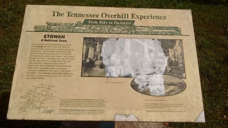
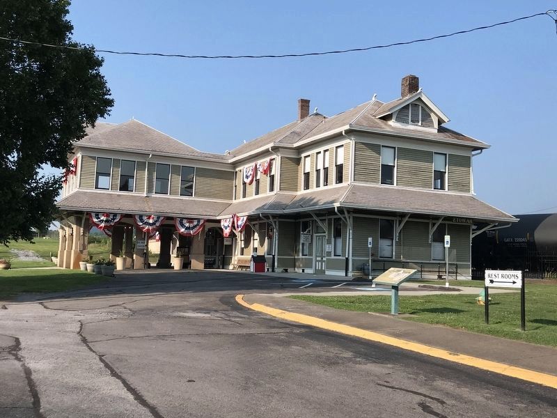
Etowah
A Railroad Town
At its peak, Etowah’s L&N complex included a roundhouse, maintenance shops, freight and passenger depots, and employed over 2,000 men.
Erected by Tennessee Dept. of Transportation; Tennessee 200, Inc.; East Tennessee Foundation; the counties of McMinn, Monroe, and Polk.
Topics and series. This historical marker is listed in these topic lists: Railroads & Streetcars • Settlements & Settlers. In addition, it is included in the A Tennessee Overhill Experience - From Furs to Factories series list. A significant historical year for this entry is 1904.
Location. 35° 19.392′ N, 84° 31.469′ W. Marker is in Etowah, Tennessee,
Other nearby markers. At least 8 other markers are within 6 miles of this marker, measured as the crow flies. The Louisville and Nashville Railroad (here, next to this marker); Company "A" 278th Inf R.C.T. (within shouting distance of this marker); Etowah World War II Memorial (within shouting distance of this marker); World War I Memorial (within shouting distance of this marker); Revolutionary Soldiers (about 800 feet away, measured in a direct line); Old Federal Road (approx. 1.4 miles away); Bethsalem Presbyterian Church (approx. 5.3 miles away); The Tennessee Overhill Experience (approx. 5.3 miles away). Touch for a list and map of all markers in Etowah.
Also see . . .
1. Louisville and Nashville Railroad. (Submitted on October 26, 2017, by Tom Bosse of Jefferson City, Tennessee.)
2. Etowah, Tennessee. (Submitted on October 26, 2017, by Tom Bosse of Jefferson City, Tennessee.)
Credits. This page was last revised on July 26, 2021. It was originally submitted on October 26, 2017, by Tom Bosse of Jefferson City, Tennessee. This page has been viewed 225 times since then and 16 times this year. Photos: 1. submitted on October 26, 2017, by Tom Bosse of Jefferson City, Tennessee. 2. submitted on July 26, 2021, by Duane and Tracy Marsteller of Murfreesboro, Tennessee. • Bill Pfingsten was the editor who published this page.

