Near Waring in Whitfield County, Georgia — The American South (South Atlantic)
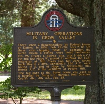
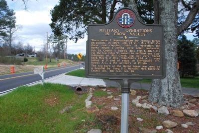
Military Operations in Crow Valley
Feb. 25, Cruft`s & Baird`s divs. (4th & 14th A.C.), via the low ridge W., moved to outflank the Confederates at Mill Creek Gap, but were forced back. May 9, 2 divs., Schofield`s 23d A.C., were halted at S. end of ridge by Stevenson`s div., Hood`s A.C., & the artillery at Potato Hill.
The log barn at the Burke house was used as a hospital by Surg. S.G. Menzies, Med. Director, Cruft`s div., 4th A.C., Feb. 25.
Erected 1954 by Georgia Historical Commission. (Marker Number 155-23.)
Topics and series. This historical marker is listed in this topic list: War, US Civil. In addition, it is included in the Georgia Historical Society series list. A significant historical year for this entry is 1864.
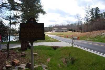
Location. 34° 52.044′ N, 84° 59.243′ W. Marker is near Waring, Georgia, in Whitfield County. Marker is on Reed Road, 1.6 miles north of Reed Pond Road, on the right when traveling north. Touch for map. Marker is at or near this postal address: 2906 Reed Road, Dalton GA 30721, United States of America. Touch for directions.
Other nearby markers. At least 8 other markers are within 3 miles of this marker, measured as the crow flies. Harris' Gap (approx. 0.8 miles away); Crow Valley (approx. 1.4 miles away); Schofield's 23d Corps in Crow Valley (approx. 1.8 miles away); North Line Dalton’s Defenses (approx. 2.2 miles away); a different marker also named Crow Valley (approx. 2.2 miles away); Historic Varnell Home (approx. 2.3 miles away); Stevenson's Line (approx. 2.3 miles away); Old Federal Road (approx. 2.9 miles away). Touch for a list and map of all markers in Waring.
Credits. This page was last revised on June 16, 2016. It was originally submitted on August 31, 2008, by David Seibert of Sandy Springs, Georgia. This page has been viewed 1,429 times since then and 22 times this year. Photos: 1. submitted on August 31, 2008, by David Seibert of Sandy Springs, Georgia. 2, 3. submitted on July 22, 2015, by Brandon Fletcher of Chattanooga, Tennessee. • Craig Swain was the editor who published this page.


