Near Champion Hill in Hinds County, Mississippi — The American South (East South Central)
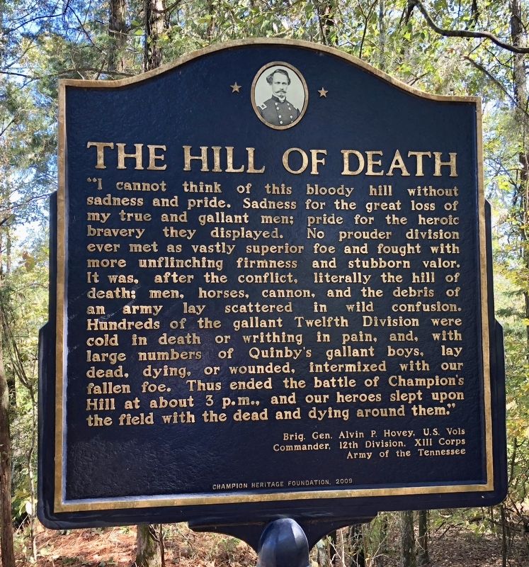
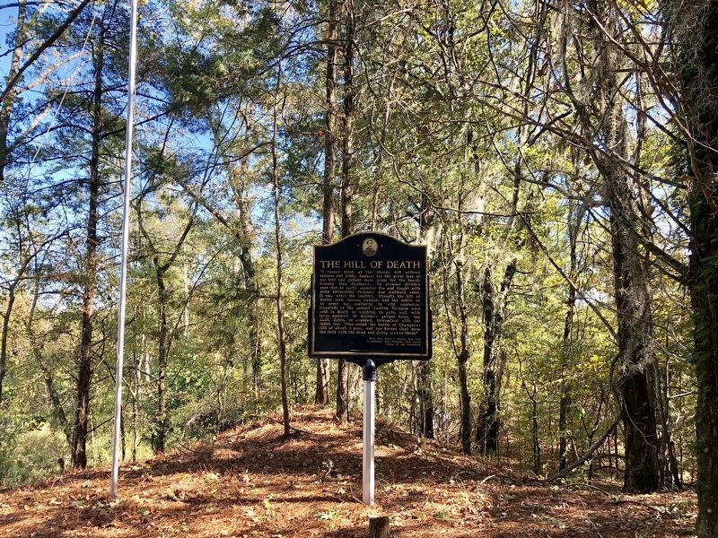
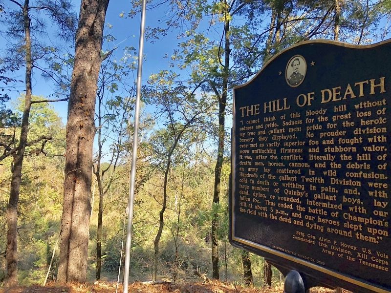
The Hill of Death
Brig. Gen. Alvin P. Hovey, U.S. Vols
Commander, 12th Division, XIII Corps
Army of the Tennessee
Erected 2009 by the Champion Heritage Foundation.
Topics. This historical marker is listed in this topic list: War, US Civil.
Location. 32° 20.22′ N, 90° 31.605′ W. Marker is near Champion Hill, Mississippi, in Hinds County. Marker can be reached from Billy Fields Road. Located deep on posted private property. Touch for map. Marker is in this post office area: Edwards MS 39066, United States of America. Touch for directions.
Other nearby markers. At least 8 other markers are within 3 miles of this marker, measured as the crow flies. Champion House Site (approx. 0.4 miles away); Site of the 3rd Battery, Ohio Light Artillery (approx. 0.4 miles away); Bowen's Counterattack (approx. 0.6 miles away); Champion Hill Battlefield (approx. 0.6 miles away); The Battle of Champion Hill (approx. 0.6 miles away); A Narrow Escape (approx. 3 miles away); The Death of General Tilghman (approx. 3 miles away); Chicago Mercantile Battery - Artillery in the Yard (approx. 3 miles away). Touch for a list and map of all markers in Champion Hill.
More about this marker. This marker is located on Posted Private Property. The coordinates provided are approximate on purpose. Vandalism and theft has occurred including many stolen American flags.
Go to this website for more information about visiting many areas of the battlefield and some of the markers that are on private lands.
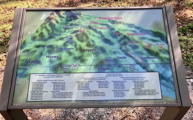
Regarding The Hill of Death. The fighting at the summit of Champion Hill was the bloodiest of the entire engagement, so much so that Union Gen. Alvin Hovey later referred to it as the "hill of death."
About 6,200 Union and Confederate soldiers were wounded, killed or missing following the one-day battle on May 16, 1863. The battle preceded by two days the beginning of the 47-day Siege of Vicksburg and resulted in 3,840 Confederate casualties and 2,421 wounded, dead or missing Union soldiers.
The hill has been cut away over the years, much of the dirt was sold off and used around the area for roads and such.
Also see . . .
1. Hundreds Trek 'The Hill of Death'. (Submitted on October 27, 2017, by Mark Hilton of Montgomery, Alabama.)
2. Civil War Trust article about Battle of Champion's Hill. (Submitted on October 27, 2017, by Mark Hilton of Montgomery, Alabama.)
Credits. This page was last revised on May 16, 2018. It was originally submitted on October 27, 2017, by Mark Hilton of Montgomery, Alabama. This page has been viewed 1,548 times since then and 150 times this year. Photos: 1, 2, 3, 4. submitted on October 27, 2017, by Mark Hilton of Montgomery, Alabama.


