Verona in Oneida County, New York — The American Northeast (Mid-Atlantic)
Site of the Battle of Oriskany
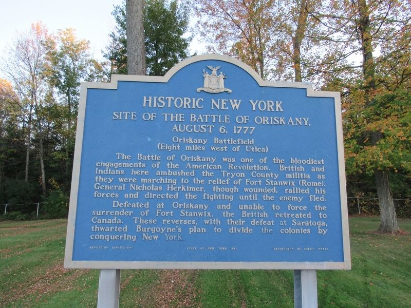
Historic New York
Site Of The Battle Of Oriskany,
August 6, 1777
Oriskany Battlefield
(Eight miles west of Utica)
Defeated at Oriskany and unable to force the surrender of Fort Stanwix, the British retreated to Canada. These reverses, with their defeat at Saratoga thwarted Burgoyne's plan to divide the colonies by conquering New York.
Erected 1981 by State of New York Education Department, Department of Public Works.
Topics and series. This historical marker is listed in this topic list: War, US Revolutionary. In addition, it is included in the Historic New York State series list.
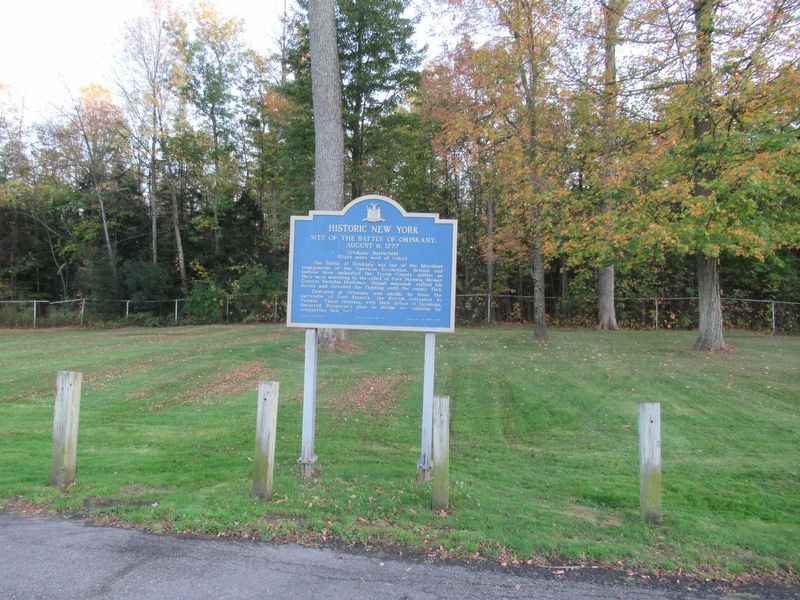
Location. 43° 7.786′ N, 75° 31.916′ W. Marker is in Verona, New York, in Oneida County. Marker is on Interstate 90, 3 miles east of New York State Route 365, on the right when traveling east. Located in the text stop, eastbound I-90 after Exit 33. Touch for map. Marker is in this post office area: Verona NY 13478, United States of America. Touch for directions.
Other nearby markers. At least 8 other markers are within 7 miles of this marker, measured as the crow flies. The Oneida Country (here, next to this marker); Mission Church (approx. 3˝ miles away); Vernon Bank (approx. 3˝ miles away); James Dean Home (approx. 4.3 miles away); Utica Area (approx. 5.9 miles away); Steuben Memorial (approx. 5.9 miles away); Upper Landing Place (approx. 6.4 miles away); Fort Craven (approx. 6.4 miles away).
Credits. This page was last revised on October 27, 2017. It was originally submitted on October 27, 2017, by Michael Herrick of Southbury, Connecticut. This page has been viewed 251 times since then and 12 times this year. Photos: 1, 2. submitted on October 27, 2017, by Michael Herrick of Southbury, Connecticut.

