Vicksburg National Military Park in Warren County, Mississippi — The American South (East South Central)
Thayer’s Approach
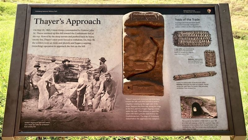
Thayer's approach stretched out from here toward the hill, and then turned to meet a ridgeline running up the right side of the slope. Sappers dug their way along the ridge to the fort, and then began digging a mine under the wall. They planned to pack the mine with black powder and destroy the Confederate fort. The siege of Vicksburg ended before the approach was complete.
[Photo captions]
Tools of the Trade
Sapping tools included items made from local materials, designed to protect soldiers as they dug trenches.
Top right: A sap roller was moved along at the head of an advancing trench to protect the digging crew from enemy fire.
Middle right: Gabions, open-ended baskets filled with dirt, shored up trench walls.
Tightly bound bundles of brushwood called fascines stabilized the sides of a trench. Placed across the open top of a trench, they provided protection from musket fire.
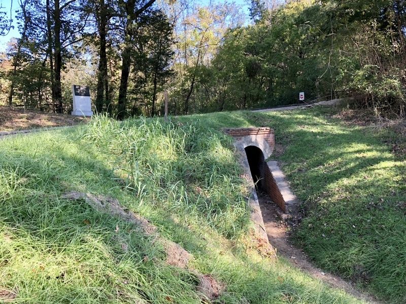
Bottom right: The tunnel at the bottom of the stairs to your left provided safe passage under the exposed ridge and protected Union soldiers from sharpshooters in the Confederate fort. The tunnel was reinforced with brick after the war.
Bottom left: Soldiers digging an approach trench use a large sap roller for protection from enemy fire.
Erected by National Park Service, Department of the Interior.
Topics. This historical marker is listed in these topic lists: Forts and Castles • War, US Civil. A significant historical date for this entry is May 22, 1863.
Location. 32° 22.446′ N, 90° 51′ W. Marker is in Vicksburg National Military Park, Mississippi, in Warren County. Marker can be reached from Union Avenue, 0.8 miles Grant Avenue. Touch for map. Marker is at or near this postal address: Union Avenue, Vicksburg MS 39183, United States of America. Touch for directions.
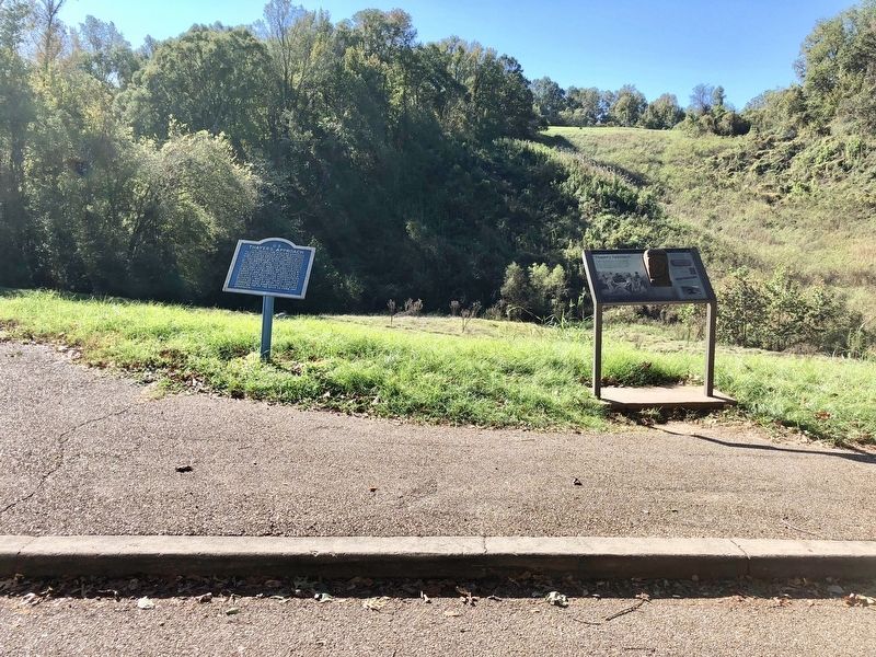
Other nearby markers. At least 8 other markers are within walking distance of this marker. Thayer's Approach. (here, next to this marker); Gustavus Lightfoot (a few steps from this marker); Iowa 26th Infantry (approx. 0.2 miles away); U.S. Thayer's Approach. (approx. 0.2 miles away); U S Missouri 12th Infantry (approx. 0.2 miles away); Watching the Approach (approx. 0.2 miles away); William W. Martin (approx. 0.2 miles away); Small Work on Left of Shoup's Brigade (approx. 0.2 miles away). Touch for a list and map of all markers in Vicksburg National Military Park.
Related marker. Click here for another marker that is related to this marker.
Also see . . . Tour Stop 6 - Thayer's Approach at Vicksburg National Military Park. (Submitted on October 29, 2017, by Mark Hilton of Montgomery, Alabama.)
Credits. This page was last revised on October 29, 2017. It was originally submitted on October 29, 2017, by Mark Hilton of Montgomery, Alabama. This page has been viewed 352 times since then and 21 times this year. Photos: 1, 2, 3, 4. submitted on October 29, 2017, by Mark Hilton of Montgomery, Alabama.


