The Champlain Canal
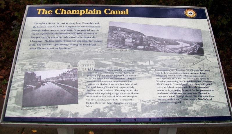
Throughout history the corridor along Lake Champlain and the Hudson River has been a transportation route of significant strategic and commercial importance. In pre-colonial times it was an important Native American trail. After the arrival of Europeans to this area in the early seventeenth century, the Champlain - Hudson corridor became an important fur-trading route. The route was again strategic during the French and Indian War and American Revolution.
The Champlain - Hudson corridor was therefore already of considerable importance when canal planning began in the late eighteenth century. In 1792 the Inland Lock and Navigation Company was chartered to develop a water connection between the Hudson River near Fort Edward and the north flowing Wood Creek, approximately five miles to the northeast. The company was also charged with improving navigation on the Hudson River south of Fort Edward. While the enterprise was not successful, new efforts to connect the Hudson River with Lake Champlain were to follow.
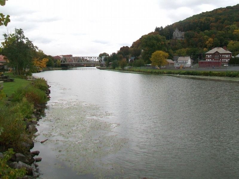
Construction of the Champlain Canal began in 1817 along with the Erie Canal. After enduring numerous design changes the Fort Edward to Whitehall segment of the canal opened in 1819. By 1823 the canal was opened to Waterford, completing the Champlain-Hudson connection. The Champlain Canal helped to ensure New York's primal
role as an Atlantic seaport and effectively nationalized commerce by siphoning the potash, lumber, grain and other products from northern Vermont away from Montreal, an important aim of the original canal. The Champlain Canal became, in effect, the Canal of northern New York and western New England.
[Photo captions, from left to right, read]
Barges docked at Whitehall's busy Canal waterfront, ca. 1900.
Wide angle photo of Wood Creek and Canal, ca. 1900
Erected by New York State Canals.
Topics. This historical marker is listed in these topic lists: Industry & Commerce • Man-Made Features • Waterways & Vessels. A significant historical year for this entry is 1792.
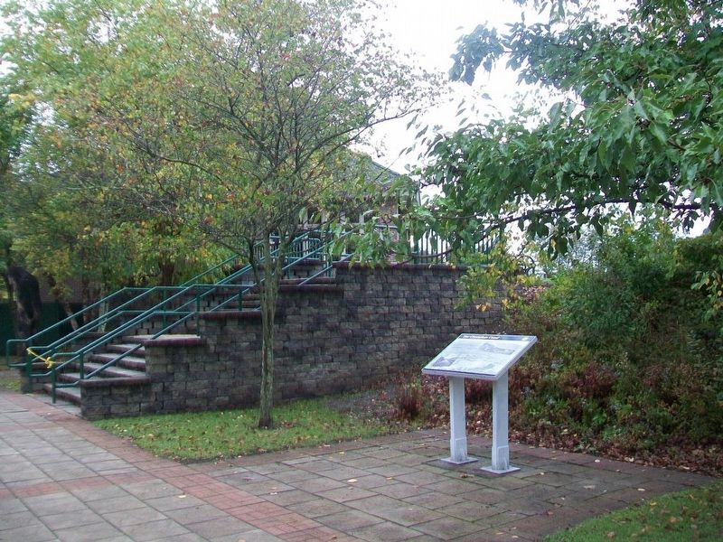
Location. 43° 33.128′ N, 73° 24.16′ W. Marker is in Whitehall, New York, in Washington County. Marker is on Skenesborough Drive, on the right when traveling north. Marker is near the entrance to the waterfront amphitheater. Touch for map. Marker is in this post office area: Whitehall NY 12887, United States of America. Touch for directions.
Other nearby markers. At least 8 other markers are within walking distance of this marker. U.S.S. Ticonderoga (within shouting distance of this marker); Whitehall (about 400 feet away, measured in a direct line); Lakes to Locks Passage (about 400 feet away); Skenesborough Museum (about 500 feet away); Birthplace of the United States Navy
Also see . . . The Champla1n Canal. Wikipedia entry (Submitted on July 10, 2021, by Larry Gertner of New York, New York.)
Credits. This page was last revised on July 10, 2021. It was originally submitted on October 29, 2017, by William Fischer, Jr. of Scranton, Pennsylvania. This page has been viewed 232 times since then and 15 times this year. Photos: 1, 2, 3. submitted on October 29, 2017, by William Fischer, Jr. of Scranton, Pennsylvania.


