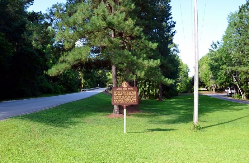
Near Statesboro in Bulloch County, Georgia — The American South (South Atlantic)
Akinsí Mill Pond / The Families of Akinsí Mill Pond
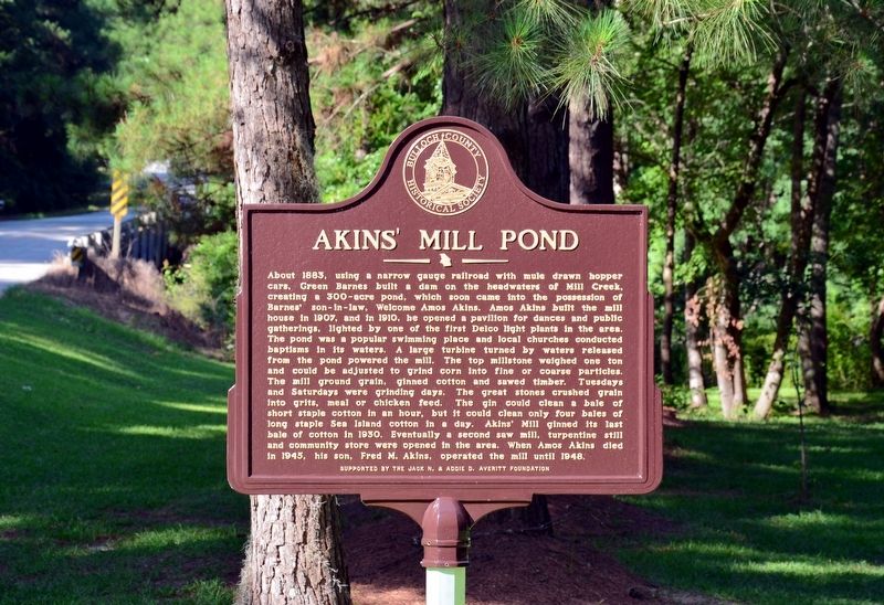
About 1883, using a narrow gauge railroad with mule drawn hopper cars, Green Barnes built a dam on the headwaters of Mill Creek, creating a 300-acre pond, which soon came into the possession of Barnesí son-in-law, Welcome Amos Akins. Amos Akins built the mill house in 1907, and in 1910, he opened a pavilion for dances and public gatherings, lighted by one of the first Delco light plants in the area. The pond was a popular swimming place and local churches conducted baptisms in its waters. A large turbine turned by water released from the pond powered the mill. The top millstone weighed one ton and could be adjusted to grind corn into fine or coarse particles. The mill ground grain, ginned cotton and sawed timber. Tuesdays and Saturdays were grinding days. The great stones crushed grain into grits, meal or chicken feed. The gin could clean a bale of short staple cotton in an hour, but it could clean only four bales of long staple Sea Island cotton in a day. Akins Mill ginned its last bale of cotton in 1930. Eventually a second saw mill, turpentine still and community store were opened in the area. When Amos Akins died in 1945, his son, Fred M. Akins, operated the mill until 1948.
<
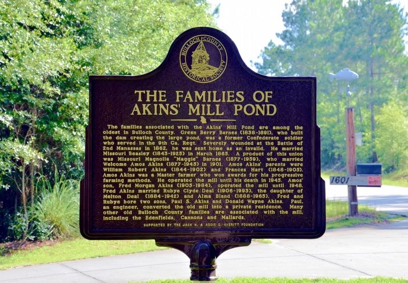
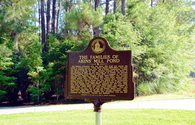
The families associated with the Akinsí Mill Pond are among the oldest in Bulloch County. Green Berry Barnes (1838 – 1891), who built the dam creating the large pond, was a former Confederate soldier who served in the 9th Ga. Regt. Severely wounded at the Battle of 2nd Manassas in 1862, he was sent home as an invalid. He married Missouri Beasley (1843–1925) in March 1865. A product of this union was Missouri Magnolia “Maggie” Barnes (1877–1959), who married Welcome Amos Akins (1877-1945) in 1901. Amos Akinsí parents were William Robert Akins (1844–1902) and Francis Hart (1848–1905). Amos Akins was a Master farmer who won awards for his progressive farming methods. He operated the mill until his death in 1945. Amosí son, Fred Morgan Akins (1905–1984), operated the mill until 1948. Fred Akins married Rubye Clyde Deal (1906–1993), the daughter of Melton Deal (1884–1942) and Alma Bland (1888–1965). Fred and Rubye bore two sons, Paul S. Akins and Donald Wayne Akins. Paul, an engineer, converted the old mill into a private residence. Many other old Bulloch County families are associated with the mill, including the Edenfields, Cannons and Mallards.
Erected by The Bulloch County Historical Society, sponsored by the Jack N. & Addie D. Averitt Foundation.
Topics. This historical marker is listed in these topic lists: Agriculture • Industry & Commerce.
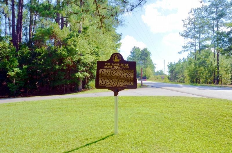
Location. 32° 30.867′ N, 81° 48.9′ W. Marker is near Statesboro, Georgia, in Bulloch County. Marker is on Akins Pond Road (Georgia Route 9) 0.1 miles south of Jerry Hall Road, on the left. Touch for map. Marker is at or near this postal address: 1601 Akins Pond Road, Statesboro GA 30461, United States of America. Touch for directions.
Other nearby markers. At least 8 other markers are within 5 miles of this marker, measured as the crow flies. Rigdonís Mill / The Rigdon Cemetery (approx. 2.7 miles away); Banks Dairy Farm (approx. 3.9 miles away); Skirmish at Statesboro (approx. 3.9 miles away); Willow Hill School and Community (approx. 4Ĺ miles away); World War II Prison Camp (approx. 4Ĺ miles away); Statesboro High and Industrial School (approx. 4Ĺ miles away); First Baptist Church of Statesboro (approx. 4.7 miles away); Statesboro Sanatorium (approx. 4.8 miles away). Touch for a list and map of all markers in Statesboro.
Credits. This page was last revised on November 30, 2017. It was originally submitted on October 30, 2017, by David Seibert of Sandy Springs, Georgia. This page has been viewed 832 times since then and 123 times this year. Last updated on November 28, 2017, by T. Patton of Jefferson, Georgia. Photos: 1, 2, 3, 4, 5. submitted on October 30, 2017, by David Seibert of Sandy Springs, Georgia. • Bill Pfingsten was the editor who published this page.
