Near Tendoy in Lemhi County, Idaho — The American West (Mountains)
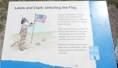
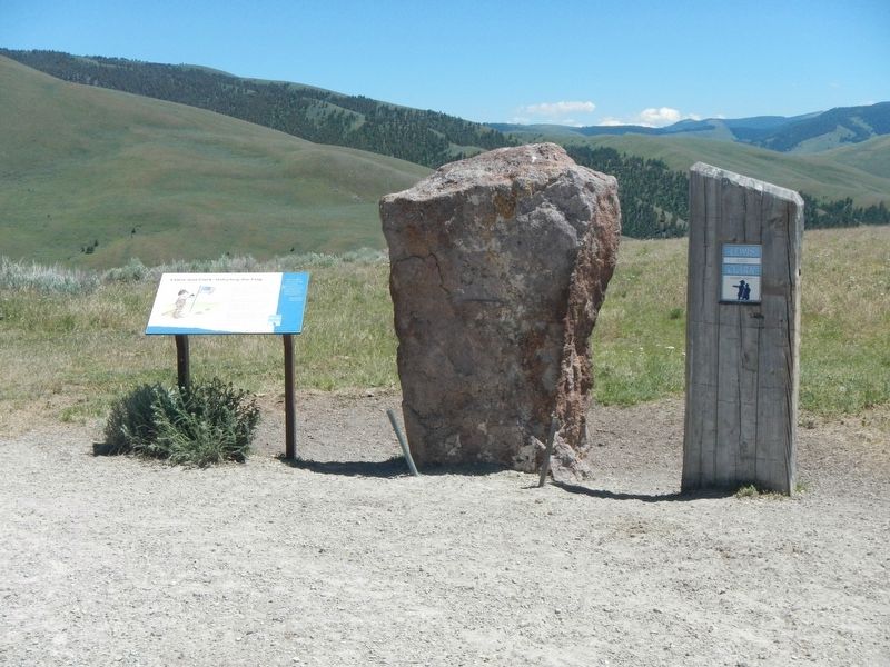
Lewis and Clark: Unfurling the Flag
Lewis and Clark in Lemhi County
When Lewis unfurled the Stars and Stripes, he made two different statements. To the Lemhi Shoshone people who lived here, the flag introduced a new nation to a remote tribe never before visited by Euro-Americans.
For America's European rivals in the region - Spain, Russia, and Great Britain - Lewis's flag was another red, white and blue pin on the map.
"we saw two women, a man, and some dogs on an eminence immediately before us... leaving my pack and rifle, I took the flag which I unfurled and advanced singly toward them..." - Meriwether Lewis, August 13, 1805
Erected by Bureau of Land Management.
Topics and series. This historical marker is listed in these topic lists: Exploration • Native Americans. In addition, it is included in the Lewis & Clark Expedition series list. A significant historical date for this entry is August 13, 1805.
Location. 45° 1.44′ N, 113° 34.374′ W. Marker is near Tendoy, Idaho, in Lemhi County. Marker is on Warm Springs Road (Forest Road 185), on the right when traveling east. Touch for map. Marker is in this post office area: Tendoy ID 83468, United States of America. Touch for directions.
Other nearby markers. At least 8 other markers are within 4 miles of this marker, measured as the crow flies. Lewis and Clark: Which Way Did They Go? (approx. 0.9 miles away); Rheumatism and Recreation (approx. 2.1 miles away); Meriwether Lewis Makes Contact (approx. 3.2 miles away); William Clark's Scouting Mission (approx. 3.2 miles away); Lewis Learns from the Lemhi Shoshone (approx. 3.2 miles away); The Withington Caldera (approx. 3.2 miles away); Sacajawea Comes Home (approx. 3.2 miles away); Sacajawea (approx. 4 miles away). Touch for a list and map of all markers in Tendoy.
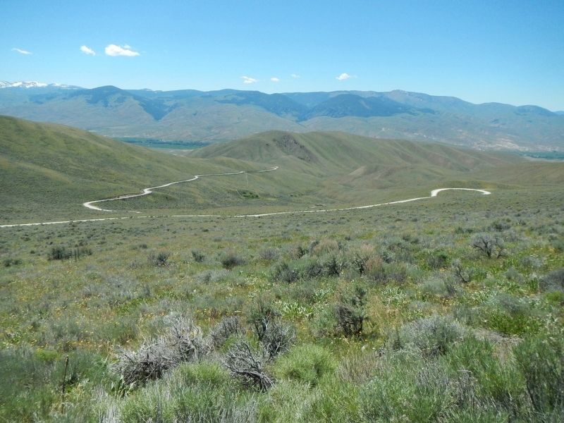
Regarding Lewis and Clark: Unfurling the Flag. This marker is on the Lewis and Clark National Back Country Byway and Adventure Road. The Byway is a 36 mile loop from Tendoy, Idaho to Lemhi Pass and back to Tendoy over gravel roads with a 4000 foot gain and loss in elevation. There are 10 designated stops with pullouts on the Byway and over two dozen information panels and markers on route. Estimated travel time is about 3 hours.
Credits. This page was last revised on November 1, 2017. It was originally submitted on November 1, 2017, by Barry Swackhamer of Brentwood, California. This page has been viewed 276 times since then and 21 times this year. Photos: 1, 2, 3, 4. submitted on November 1, 2017, by Barry Swackhamer of Brentwood, California.


