From Waterways to Highways
"The Lehigh Valley was one of the great transportation hubs of America, possessing 10 major wagon roads, 3 important canals and ultimately 8 important railroads."
Alfred Chandler, historian
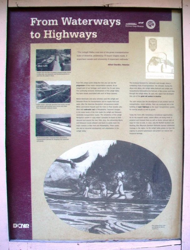
From this unique point along the trail, you can see the progression of four major transportation systems. As an integral part of our heritage, each system has its own story. The continuing economic development of the Lehigh Valley has been closely associated with each of these systems.
Native Americans and early colonists used the Lehigh and Delaware Rivers for transportation and to supply food and water. After the American Revolution, entrepreneurs Josiah White and Erskine Hazard used the rivers to float wooden arks filled with anthracite coal to Philadelphia. Seasonal changes in the water levels of the river made the Lehigh and Delaware unreliable transportation routes. The completion of the Lehigh Navigation system in 1829 made it possible for boats to both descend and ascend the river. After 1834, the connecting Morris and Delaware Canals allowed coal boats to easily reach the major markets at New York and Philadelphia. These canals also led to industrial development and urbanization in the Lehigh Valley.
The increased demand for anthracite coal brought about a competing mode of transportation:
the railroads. During the 1850s and 1860s, the Lehigh Valley Railroad and Lehigh and Susquehanna Railroad/Central Railroad of New Jersey built lines through the Lehigh Valley. By 1900, this region had developed into one of the great rail centers in America.The 20th century saw the development of yet another form of transportation, motor vehicles. Their use eventually led to the building of super highways as the major transportation system for moving people as well as goods.
Today the rivers offer tremendous recreational opportunities. As for the towpath canals, valiant efforts are being made to preserve and interpret them as well as former railroad right of ways for rails to trails. In 2002, only the Norfolk Southern and Reading, Blue Mountain Northern Railroads operate substantial trackage in the region. As the Lehigh Valley grows, so does the urgency to preserve greenspace and protect our natural and historical heritage.
[Photo captions, from top to bottom, read]
• Canals were the first successful transportation routes to ship coal, raw materials and finished products to and from the seaport cities.
• Unlike canals, railroads operated year-round, carried more goods, and reached more towns and cities. They eventually replaced canals.
• Trucks successfully competed with all previous transportation systems for shipping raw materials
• The Lehigh River was the lifeline for Native Americans.
[Top right early 1900s advertisement reads]
Bulldog Mack - Performance Counts
Erected by Delaware & Lehigh National Heritage Corridor, National Canal Museum, and PA DCNR.
Topics and series. This historical marker is listed in these topic lists: Industry & Commerce • Railroads & Streetcars • Roads & Vehicles • Waterways & Vessels. In addition, it is included in the Delaware Canal (AKA Delaware Division of the Pennsylvania Canal) series list. A significant historical year for this entry is 1829.
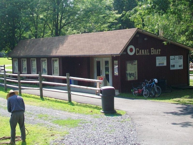
Location. 40° 39.748′ N, 75° 14.317′ W. Marker is in Easton, Pennsylvania, in Northampton County. Marker is near the Josiah White II canal boat loading area in Hugh Moore Park. Touch for map. Marker is at or near this postal address: 2750 Hugh Moore Park Road, Easton PA 18042, United States of America. Touch for directions.
Other nearby markers. At least 8 other markers are within walking distance of this marker. Easton & Nearby Heritage Attractions (here, next to this marker); Making Tracks (here, next to this marker); Anthracite Tidewater Canals (here, next to this marker); Exploring The Corridor (here, next to this marker); Canal Boats (a few steps from this marker); From Mountain to Market (a few steps
Also see . . .
1. Lehigh Valley History Research Resources. (Submitted on November 5, 2017, by William Fischer, Jr. of Scranton, Pennsylvania.)
2. Delaware & Lehigh National Heritage Corridor. (Submitted on November 5, 2017, by William Fischer, Jr. of Scranton, Pennsylvania.)
3. National Canal Museum. (Submitted on November 5, 2017, by William Fischer, Jr. of Scranton, Pennsylvania.)
Credits. This page was last revised on November 5, 2017. It was originally submitted on November 3, 2017, by William Fischer, Jr. of Scranton, Pennsylvania. This page has been viewed 147 times since then and 9 times this year. Photos: 1. submitted on November 5, 2017, by William Fischer, Jr. of Scranton, Pennsylvania. 2. submitted on November 4, 2017, by William Fischer, Jr. of Scranton, Pennsylvania.

