Savannah in Chatham County, Georgia — The American South (South Atlantic)
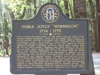
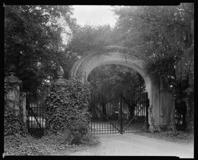
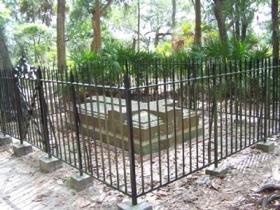
Noble Jones’ “Wormslow”
1736–1775
Erected 1992 by Georgia Historic Marker. (Marker Number 025-100.)
Topics and series. This historical marker is listed in these topic lists: Colonial Era • Settlements & Settlers. In addition, it is included in the Georgia Historical Society series list. A significant historical month for this entry is February 1857.
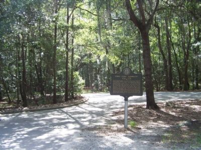
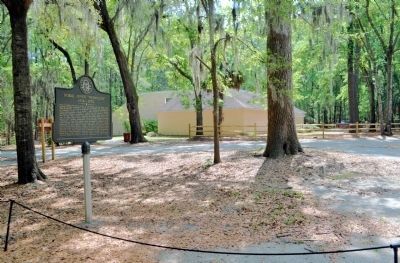
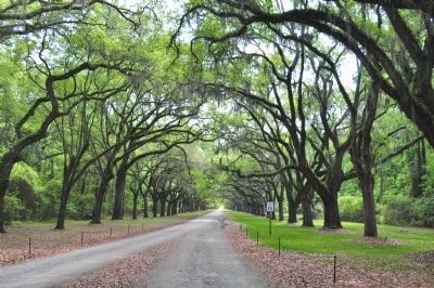
Location. 31° 58.035′ N, 81° 4.191′ W. Marker is in Savannah, Georgia, in Chatham County. Marker is on Wormslow Platation Drive. Located off Skidaway Road. Right at At Wormsloe museum Marker at end at parking lot. Touch for map. Marker is in this post office area: Savannah GA 31406, United States of America. Touch for directions.
Other nearby markers. At least 8 other markers are within 3 miles of this marker, measured as the crow flies. Isle of Hope (approx. one mile away); Isle of Hope Methodist Church (approx. 1.2 miles away); Bethesda (approx. 1˝ miles away); Sandfly (approx. 1.6 miles away); Brick Pillar (approx. 1.6 miles away); a different marker also named Isle of Hope (approx. 2 miles away); Pin Point Community (approx. 2.1 miles away); Mercer Auto Camp (approx. 2.8 miles away). Touch for a list and map of all markers in Savannah.
Photographed By Mike Stroud, 2008
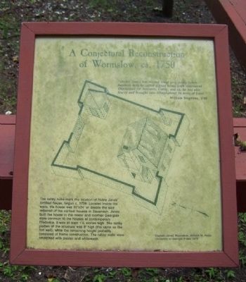
11. Noble Jones' "Wormslow" Plantation, A Conjectural reconstruction of Wormsloe, ca. 1750
"( Noble Jones) has erected what very justly ( when
finished ) may be called a good house with convenient
Out houses for Servents, Cattle, and ca.(?) he has also
fenced and brought into tillage about 14 acres of Land"
William Stephens, 1740
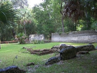
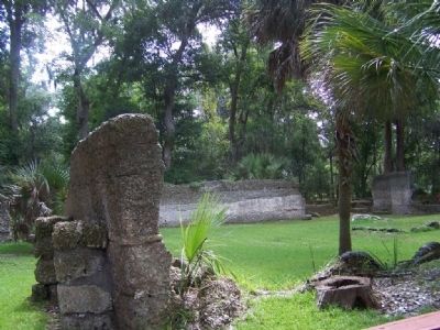
The tabby ruins mark the location of Noble Jones fortified house, begun c.1739. located inside the walls, the house was 32'x24' or double the size required of the earliest houses in Savannah. Jones built the house in the newer and roomier Georgian style common to the houses of contemporary Frederica. It was at least 1½ stories high. The tabby portion of the structure was 8' high ( the same as the fort wall), while the remaining height probably consisted of frame construction. The tabby walls were smoothed with plaster and whitewash.
Captain Jones' Wormslow, William M. Kelso University of Georgia Press 1979
Credits. This page was last revised on April 10, 2020. It was originally submitted on September 1, 2008, by Mike Stroud of Bluffton, South Carolina. This page has been viewed 2,470 times since then and 76 times this year. Photos: 1, 2. submitted on September 1, 2008, by Mike Stroud of Bluffton, South Carolina. 3. submitted on June 9, 2012, by David Seibert of Sandy Springs, Georgia. 4. submitted on September 1, 2008, by Mike Stroud of Bluffton, South Carolina. 5. submitted on May 8, 2012, by Mike Stroud of Bluffton, South Carolina. 6, 7, 8, 9, 10, 11. submitted on September 1, 2008, by Mike Stroud of Bluffton, South Carolina. 12. submitted on June 9, 2012, by David Seibert of Sandy Springs, Georgia. • Craig Swain was the editor who published this page.
