Near Salmon in Lemhi County, Idaho — The American West (Mountains)
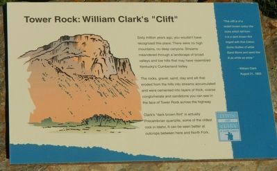
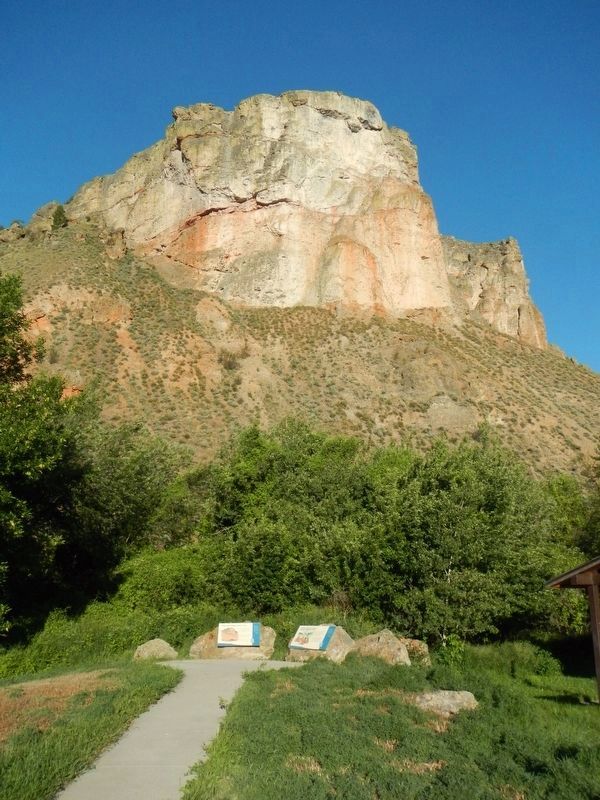
Tower Rock: William Clark's "Clift"
The rocks, gravel, sand, clay and silt that eroded from the hills into streams accumulated and were cemented into layers, coarse conglomerate and sandstone you can see in the face of Tower Rock across the highway.
Clark's "dark brown flint" is actually Precambrian quartzite, some of the oldest rock in Idaho. It can be seen better at outcrops between here and North Fork.
This clift is of a reddish brown colour the rocks which fall from it is a dark brown flint tinged with that Colour. Some Gullies of white Sand Stone and sand fine & as white as snow." - William Clark, August 21, 1805
Erected by Bureau of Land Management.
Topics and series. This historical marker is listed in these topic lists: Exploration • Landmarks. In addition, it is included in the Lewis & Clark Expedition series list. A significant historical date for this entry is August 21, 1805.
Location. 45° 18.69′ N, 113° 54.396′ W. Marker is near Salmon, Idaho, in Lemhi County. Marker is on Casey Road (U.S. 93) near Tower Rock Road , on the left when traveling north. Touch for map. Marker is at or near this postal address: 849 Casey Road, Salmon ID 83467, United States of America. Touch for directions.
Other nearby markers. At least 8 other markers are within 5 miles of this marker, measured as the crow flies. William Clark's Campsite, August 21 and 25, 1805 (a few steps from this marker); The Bluff (about 700 feet away, measured in a direct line); Tower Creek (approx. 0.8 miles away); Lewis and Clark: Departure Camp (approx. 2.2 miles away); Erle and Lula Embley's Cabin (approx. 2.2 miles away); William Clark's "Pirimids" (approx. 2.2 miles away); Historic Lemhi Co. (approx. 4.7 miles away); Fort Bonneville (approx. 4.7 miles away). Touch for a list and map of all markers in Salmon.
More about this marker. The marker is in the Tower Rock Recreation Site.
Credits. This page was last revised on November 6, 2017. It was originally submitted on November 6, 2017, by Barry Swackhamer of Brentwood, California. This page has been viewed 312 times since then and 19 times this year. Photos: 1, 2. submitted on November 6, 2017, by Barry Swackhamer of Brentwood, California.

