Near Mackay in Custer County, Idaho — The American West (Mountains)
Goodin's River
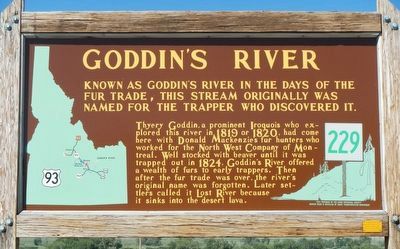
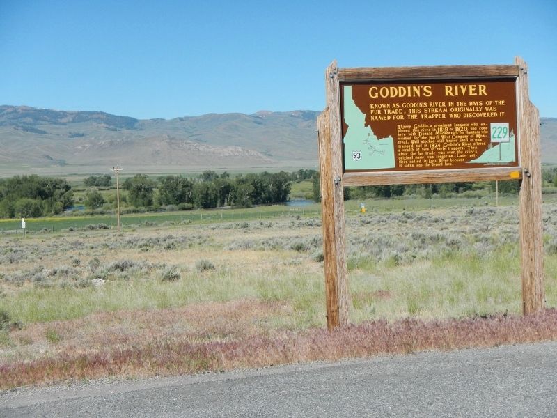
Thyery Goddin, a prominent Iroquois who explored this river in 1819 or 1820, had come here with Donald Mackenzies fur hunters who worked for the North West Company of Montreal. Well stocked with beaver until it was trapped out in 1824, Goddin's River offered a wealth of furs to early trappers. Then after the fur trade was over, the river's original name was forgotten. Later settlers called it Lost River because it sinks into the desert lava.
Erected by Idaho Department of Transportation. (Marker Number 229.)
Topics and series. This historical marker is listed in these topic lists: Industry & Commerce • Natural Features. In addition, it is included in the Idaho State Historical Society series list. A significant historical year for this entry is 1819.
Location. 43° 59.796′ N, 113° 45.564′ W. Marker is near Mackay, Idaho, in Custer County. Marker is at the intersection of U.S. 93 and Fish Hatchery Road, on the left when traveling north on U.S. 93. Touch for map. Marker is in this post office area: Mackay ID 83251, United States of America. Touch for directions.
Other nearby markers. At least 6 other markers are within 13 miles of this marker, measured as the crow flies. Ghost Town of Mackay Idaho (approx. 9.2 miles away); Mount Borah (approx. 12.3 miles away); Earthquakes (approx. 12.3 miles away); Earthquake! - The Results (approx. 12.8 miles away); Earthquake! - The Event (approx. 12.8 miles away); Earthquake! - The Stage (approx. 12.8 miles away).
Credits. This page was last revised on November 7, 2017. It was originally submitted on November 7, 2017, by Barry Swackhamer of Brentwood, California. This page has been viewed 722 times since then and 40 times this year. Photos: 1, 2. submitted on November 7, 2017, by Barry Swackhamer of Brentwood, California.

