Southwest Waterfront in Southwest Washington in Washington, District of Columbia — The American Northeast (Mid-Atlantic)
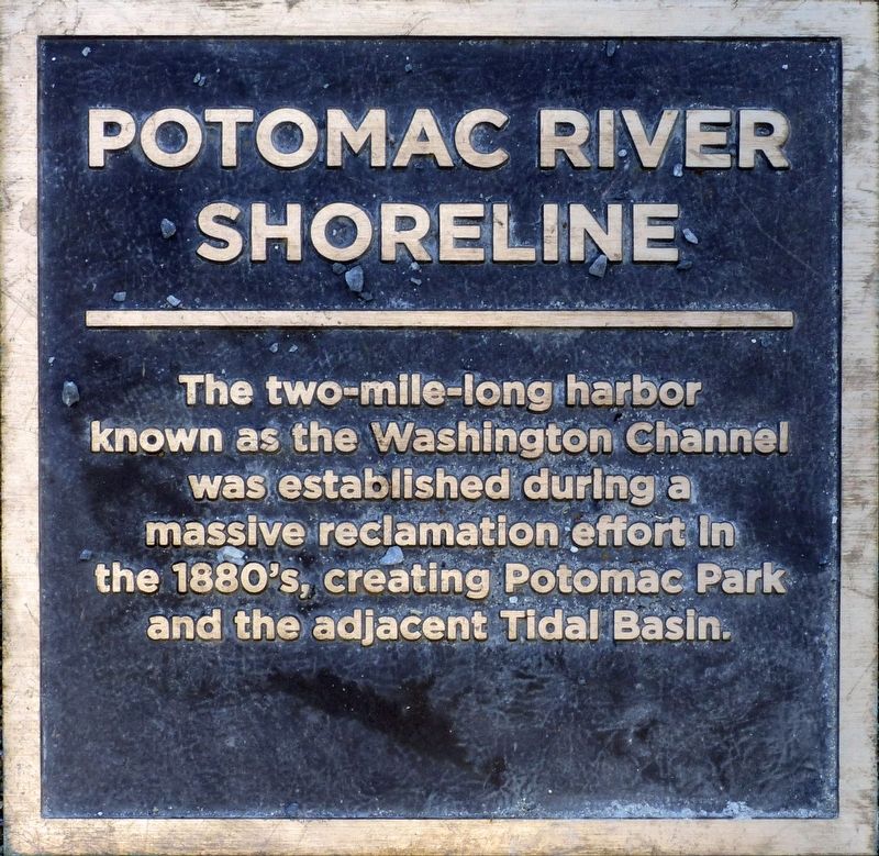
Potomac River Shoreline
Erected by Hoffman Madison Waterfront LLC.
Topics. This historical marker is listed in these topic lists: Notable Places • Parks & Recreational Areas • Waterways & Vessels.
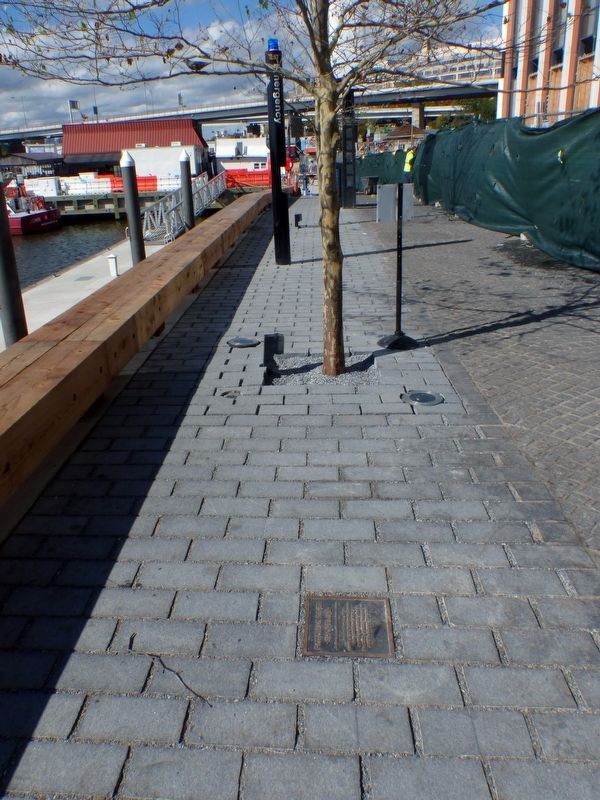
Location. 38° 52.825′ N, 77° 1.607′ W. Marker is in Southwest Washington in Washington, District of Columbia. It is in Southwest Waterfront. Marker is on Wharf Street Southwest north of Blair Alley Southwest, on the left when traveling north. This marker is embedded in the sidewalk at DC Wharf in Southwest Washington. Touch for map. Marker is at or near this postal address: 1000 Maine Avenue Southwest, Washington DC 20024, United States of America. Touch for directions.
Other nearby markers. At least 8 other markers are within walking distance of this marker. High Water Mark DC (within shouting distance of this marker); The River Queen (within shouting distance of this marker); Maine Avenue Fish Market (about 300 feet away, measured in a direct line); Abraham Lincoln (about 400 feet away); "a magnificent waterfront entranceway…" (about 400 feet away); Annual Oyster Derby (about 400 feet away); America's Oldest Operating Fish Market (about 400 feet away); Long Bridge (about 400 feet away). Touch for a list and map of all markers in Southwest Washington.

Library of Congress
3. The Washington Channel
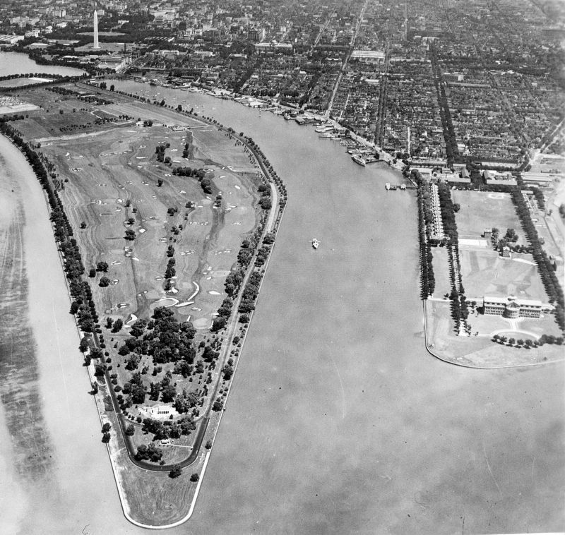
This C. 1935 aerial photo shows the Washington Channel running between East Potomac Park (Haines Point) on the left and Fort McNair (Greenleaf Point) on the right. The north end of the Channel is at the Tidal Basin and the South end at the mouth of the Anacostia River.
Credits. This page was last revised on January 7, 2024. It was originally submitted on November 7, 2017, by Allen C. Browne of Silver Spring, Maryland. This page has been viewed 251 times since then and 21 times this year. Photos: 1, 2, 3. submitted on November 7, 2017, by Allen C. Browne of Silver Spring, Maryland. • Bill Pfingsten was the editor who published this page.

