Lenore in Clearwater County, Idaho — The American West (Mountains)
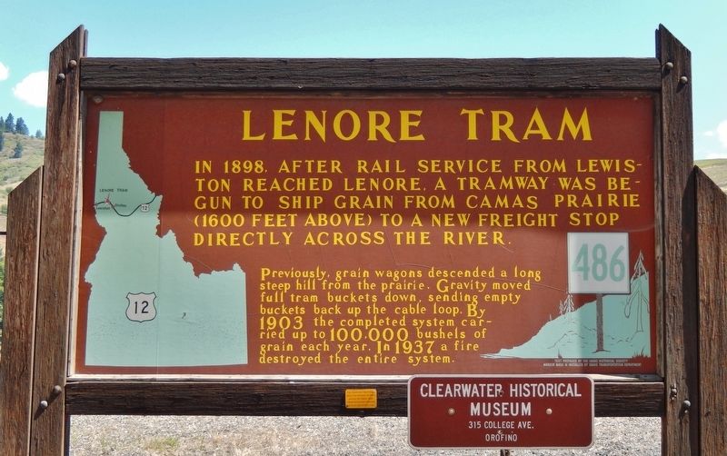
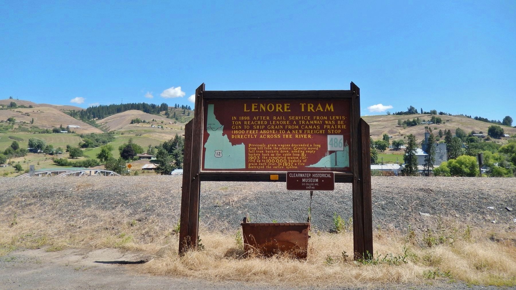
Lenore Tram
Previously, grain wagons descended a long steep hill from the prairie. Gravity moved full tram buckets down, sending empty buckets back up the cable loop. By 1903 the completed system carried up to 100,000 bushels of grain each year. In 1937 a fire destroyed the entire system.
Erected by Idaho Historical Society & Idaho Transportation Department. (Marker Number 486.)
Topics and series. This historical marker is listed in these topic lists: Agriculture • Disasters • Industry & Commerce • Railroads & Streetcars. In addition, it is included in the Idaho State Historical Society series list. A significant historical year for this entry is 1898.
Location. 46° 30.383′ N, 116° 33.175′ W. Marker is in Lenore, Idaho, in Clearwater County. Marker is at the intersection of U.S. 12 and Summit Grade, on the left when traveling west on U.S. 12. Marker is located in the Lenore Community Building parking lot, on the south side of US Highway 12, across from the Lenore bridge (which crosses the Clearwater River). Touch for map. Marker is at or near this postal address: 37950 US Highway 12, Lenore ID 83541, United States of America. Touch for directions.
Other nearby markers. At least 8 other markers are within 13 miles of this marker, measured as the crow flies. Nimiipuu Daily Life (approx. half a mile away); Slaterville (approx. half a mile away); Indian Houses (approx. half a mile away); Navigating the Clearwater (approx. 9.7 miles away); Clearwater River Log Drives (approx. 9.7 miles away); Culdesac (approx. 10.7 miles away); Railroad Tunnels (approx. 12.3 miles away); St. Joseph's Mission (approx. 12˝ miles away). Touch for a list and map of all markers in Lenore.
More about this marker. Large wooden marker in good condition
Credits. This page was last revised on November 9, 2017. It was originally submitted on November 8, 2017, by Cosmos Mariner of Cape Canaveral, Florida. This page has been viewed 425 times since then and 130 times this year. Photos: 1, 2. submitted on November 8, 2017, by Cosmos Mariner of Cape Canaveral, Florida. • Andrew Ruppenstein was the editor who published this page.

