Near Challis in Custer County, Idaho — The American West (Mountains)
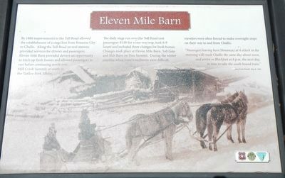
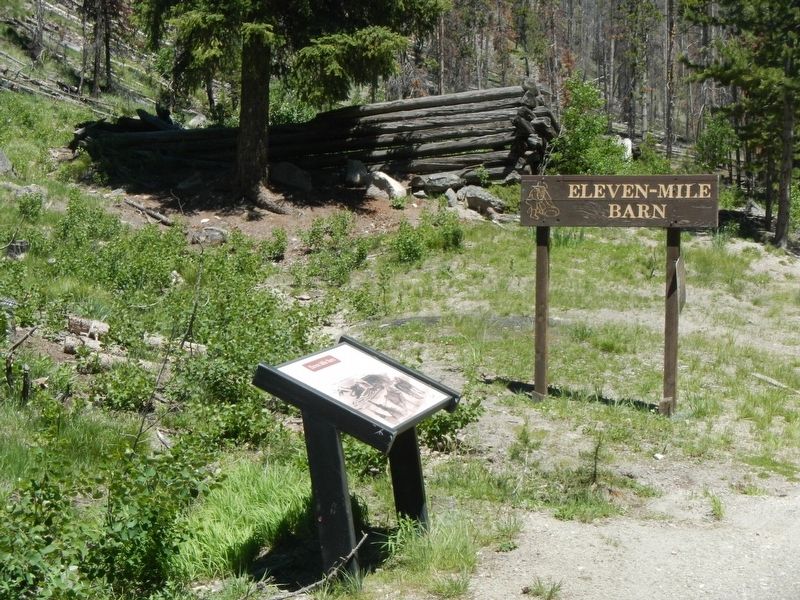
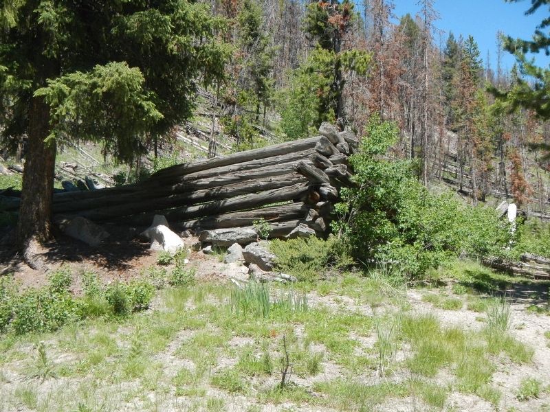
Eleven Mile Barn
The daily stage run over the Toll Road cost passengers $5.00 for a one-way trip, took 8-9 hours and included three changes of fresh horses. Changes took place at Eleven Mile Barn, Toll Gate and Slab Barn on Pine Summit. During the winter months, when travel conditions were difficult travelers were often forced to make overnight stops on their way to and from Challis.
"Passengers leaving here (Bonanza) at 4 o'clock in the morning will reach Challis the same day about noon, and arrive in Blackfoot at 8 p.m. the next day, in time to take the south bound train." - Yankee Ford Herald, May 8, 1880
Erected by U.S. Forest Service, Idaho Department of Parks and Recreation, and the Bureau of Land Management.
Topics. This historical marker is listed in this topic list: Roads & Vehicles. A significant historical year for this entry is 1880.
Location. 44° 28.074′ N, 114° 34.77′ W. Marker is near Challis, Idaho, in Custer County. Marker is on Custer Motorway Adventure Road - Yankee Fork Road, on the right when traveling west. Touch for map. Marker is in this post office area: Challis ID 83226, United States of America. Touch for directions.
Other nearby markers. At least 8 other markers are within 8 miles of this marker, measured as the crow flies. Tollgate Station (approx. 4.7 miles away); Alex Toponce (approx. 4.7 miles away); Custer Cemetery (approx. 7.3 miles away); Pfeiffer Residence (approx. 7.9 miles away); Assay Office (approx. 8 miles away); General Custer Mill (approx. 8 miles away); Stamp Mill (approx. 8 miles away); Stone House (approx. 8 miles away). Touch for a list and map of all markers in Challis.
Credits. This page was last revised on November 8, 2017. It was originally submitted on November 8, 2017, by Barry Swackhamer of Brentwood, California. This page has been viewed 202 times since then and 10 times this year. Photos: 1, 2, 3. submitted on November 8, 2017, by Barry Swackhamer of Brentwood, California.


