Orofino in Clearwater County, Idaho — The American West (Mountains)
Canoe Camp
Canoe Camp
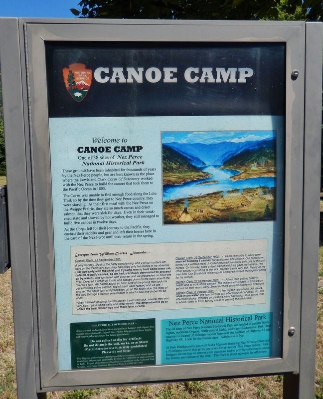
One of 38 sites of Nez Perce National Historical Park
These grounds have been inhabited for thousands of years by the Nez Perce people, but are best known as the place where the Lewis and Clark Corps of Discovery worked with the Nez Perce to build the canoes that took them to the Pacific Ocean in 1805.
The Corps was unable to find enough food along the Lolo Trail, so by the time they got to Nez Perce country, they were starving. At their first meal with the Nez Perce on the Weippe Prairie, they ate so much camas and dried salmon that they were sick for days. Even in their weakened state and slowed by hot weather, they still managed to build five canoes in twelve days.
As the Corps left for their journey to the Pacific, they cached their saddles and gear and left their horses here in the care of the Nez Perce until their return in the spring.
Topics and series. This historical marker is listed in these topic lists: Exploration • Native Americans • Waterways & Vessels. In addition, it is included in the Lewis & Clark Expedition series list.
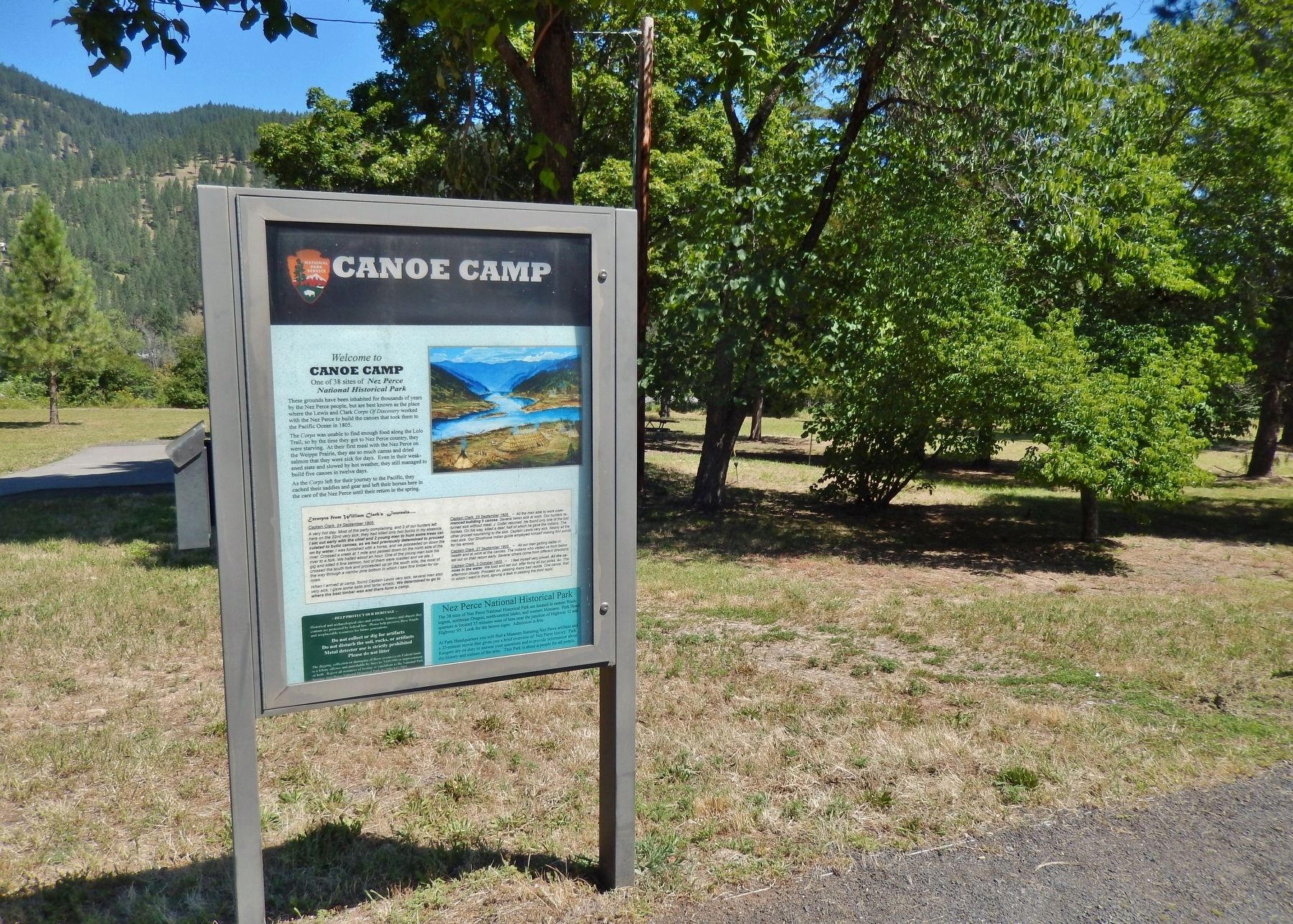
Location. 46° 30.062′ N, 116° 19.885′ W. Marker is in Orofino, Idaho, in Clearwater County. Marker can be reached from the intersection of U.S. 12 and 140th Street, on the right when traveling west. Marker is in Lewis & Clark Canoe Camp State Park, on the north side of the highway, between the highway and the Clearwater River. Touch for map. Marker is in this post office area: Orofino ID 83544, United States of America. Touch for directions.
Other nearby markers. At least 8 other markers are within walking distance of this marker. Welcome to Canoe Camp (a few steps from this marker); Orofino: A Fine Place (a few steps from this marker); Pit House Village (within shouting distance of this marker); 1804-1806 Corps of Discovery (within shouting distance of this marker); Ahsakha Village Site (about 400 feet away, measured in a direct line); Canoe Building Site (about 500 feet away); Navigating the Clearwater (approx. 0.8 miles away); Clearwater River Log Drives (approx. 0.8 miles away). Touch for a list and map of all markers in Orofino.
Also see . . . Canoe Camp on the Clearwater.
Still sick and exhausted from their recent crossing of the Bitterroot Mountains, Lewis, Clark, and their crew arrived on 26 September 1805, at what they called Canoe Camp, on the Clearwater River. For the next twelve days, in oppressive heat, the Corps burned and hacked, with axes "Small & badly Calculated" for the task, five dugout canoes from large ponderosa pine logs. (Submitted on November 10, 2017, by Cosmos Mariner of Cape Canaveral, Florida.)
Credits. This page was last revised on November 13, 2017. It was originally submitted on November 10, 2017, by Cosmos Mariner of Cape Canaveral, Florida. This page has been viewed 256 times since then and 20 times this year. Photos: 1, 2. submitted on November 10, 2017, by Cosmos Mariner of Cape Canaveral, Florida. • Bill Pfingsten was the editor who published this page.

