Near Wallace in Shoshone County, Idaho — The American West (Mountains)
The Pulaski Tunnel Trail
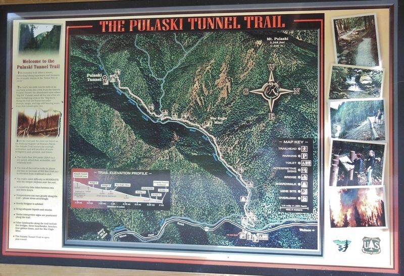
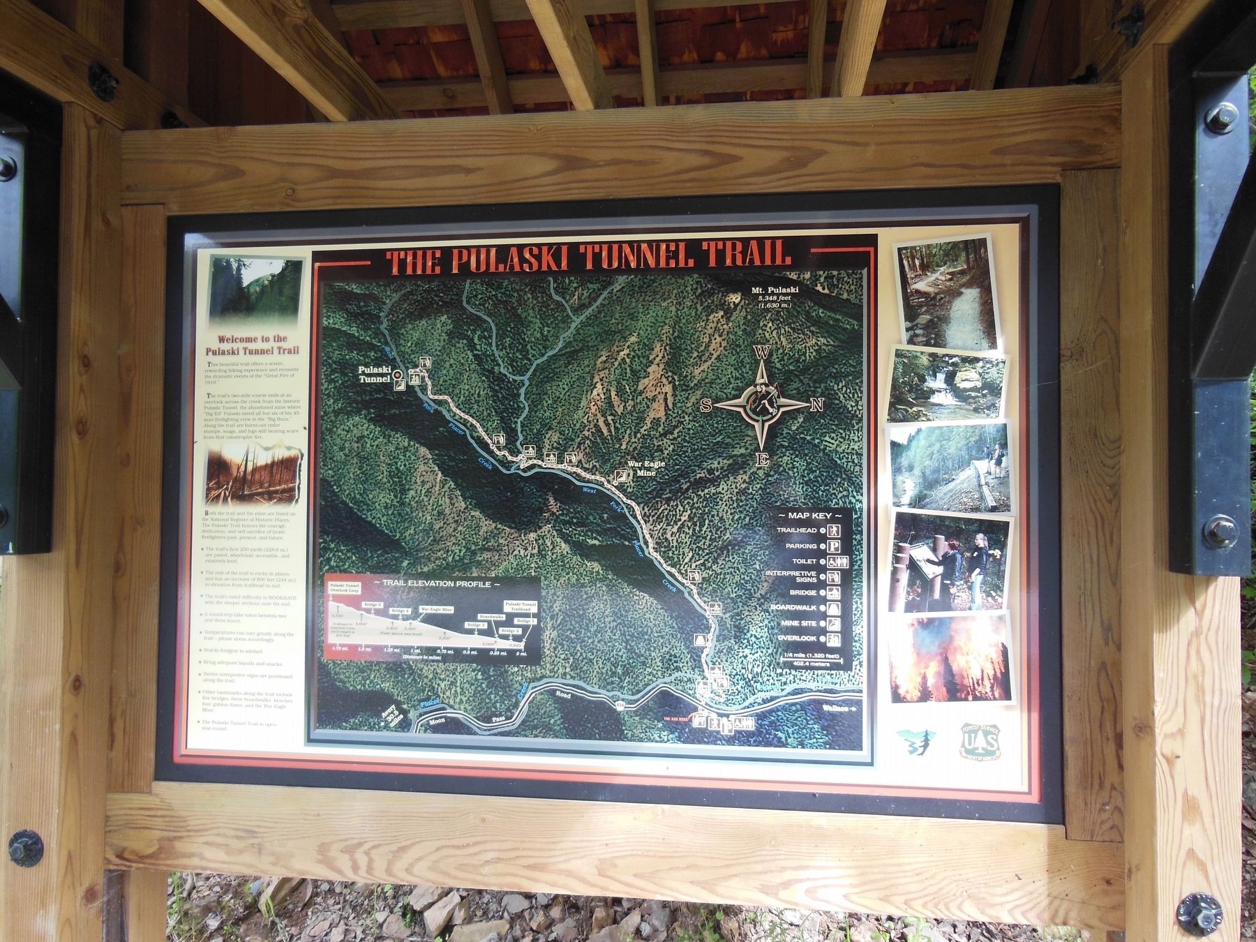
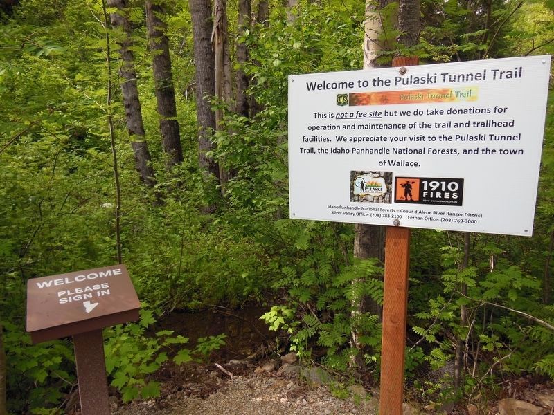
Welcome to the Pulaski Tunnel Trail
This beautiful trail offers a scenic, rewarding hiking experience and recounts the dramatic events of the “Great Fire of 1910.”
The trailís two-mile course ends at an overlook across the creek from the historic Pulaski Tunnel, the abandoned mine where “Big Ed” Pulaski saved all but six of his 45-man firefighting crew in the “Big Burn.” Along the trail are burnt-out cedar stumps, snags, and logs still bearing scars from that catastrophic fire. Both the trail and the mine are listed on the National Register of Historic Places. The Pulaski Trail honors the courage, dedication, and self-sacrifice of brave firefighters past, present, and future.
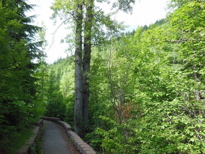
The trailís first 250 yards (228.6 m.) are paved, wheelchair accessible and relatively level.
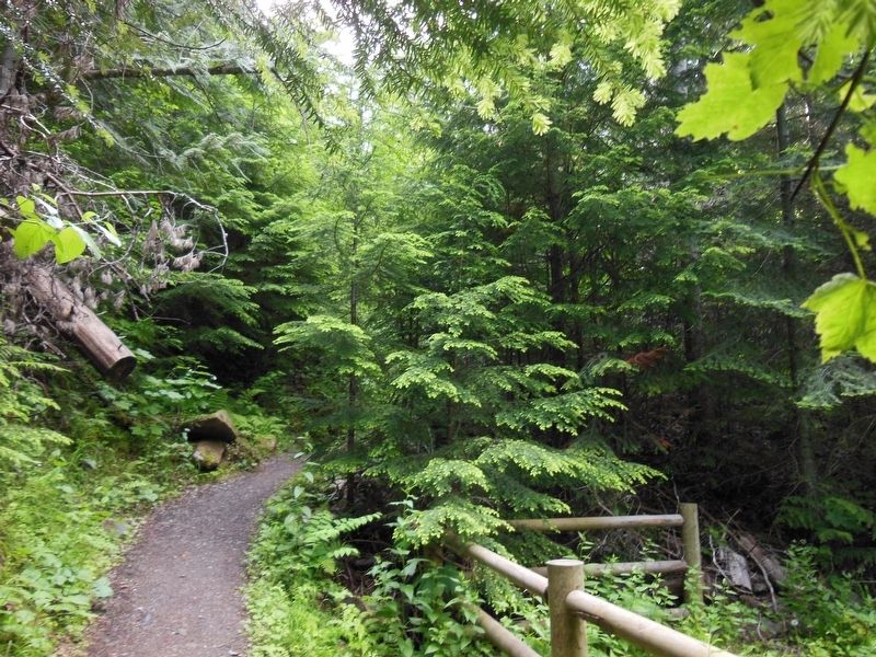
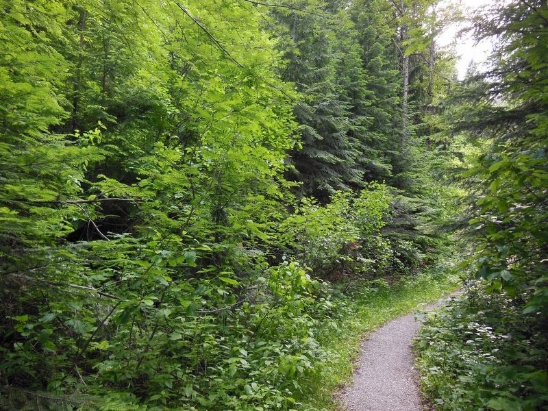
The rest of the trail is rocky in places and has an increase of 800 feet (244 m.) in elevation from trailhead to end. The trailís rated difficulty is MODERATE with the steeper sections near the end.
A round-trip hike takes between two and three hours.
Temperatures can vary greatly along the trail – please dress accordingly.
Sturdy footgear is advised.
Bring adequate liquids and snacks.
Twelve interpretive signs are positioned along the trail.
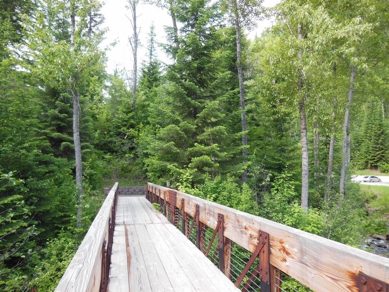
Other landmarks along the trail include five bridges, three boardwalks, benches, four gabion dams, and the War Eagle Mine.
The Pulaski Trail is open year-round.
Erected by U.S. Forest Service, Department of the Interior.
Topics. This historical marker is listed in this topic list: Disasters. A significant historical date for this entry is August 20, 1910.
Location. 47° 27.544′ N, 115° 56.098′ W. Marker is near Wallace, Idaho, in Shoshone County. Marker can be reached from Placer Creek Road (Forest Road 456), on the left when traveling south. Marker is located at the Pulaski Historic Site, Idaho Panhandle National Forest, about a mile south of Wallace on Placer Creek Road/NF-456. Touch for map. Marker is in this post office area: Wallace ID 83873, United States of America. Touch for directions.
Other nearby markers. At least 8 other markers are within 2 miles of this marker, measured as the crow flies. The Great Fire of 1910 (within shouting distance of this marker); Pulaski's Trail (about 500 feet away, measured in a direct line); "Big Ed" Pulaski (about 600 feet away); Historic Wallace South Hill Stairs (approx. one mile away); Rossi Insurance Building (approx. one mile away); Wallace World War Memorial (approx. 1.1 miles away); Wallace (approx. 1.3 miles away); "The Big Blowup" (approx. 1.3 miles away). Touch for a list and map of all markers in Wallace.
Related markers. Click here for a list of markers that are related to this marker.
Also see . . .
1. Edward Pulaski Tunnel and Placer Creek Escape Route.
The Edward Pulaski Tunnel and Placer Creek Escape Route (also known as the Pulaski Tunnel) are two adjacent sites used by United States Forest Service firefighter Edward Pulaski in the Great Fire of 1910 to save the lives of himself and most of his crew. The sites are located south of Wallace, Idaho in the Idaho Panhandle National Forests. Pulaski's tunnel and escape route are listed on the National Register of Historic Places in 1984. (Submitted on November 13, 2017, by Cosmos Mariner of Cape Canaveral, Florida.)
2. This Hike In Idaho Will Lead You Someplace Unforgettable.
Just south of the quaint mining town of Wallace is a hiking trail that is both serene and beautiful, with a heroic and historic backstory that only adds to its magic. This scenic, two-mile trek will lead you somewhere unforgettable as well: the historic Pulaski Tunnel, an abandoned silver mine entrance with a great deal of history in itself. (Submitted on November 13, 2017, by Cosmos Mariner of Cape Canaveral, Florida.)
Credits. This page was last revised on October 21, 2020. It was originally submitted on November 12, 2017, by Cosmos Mariner of Cape Canaveral, Florida. This page has been viewed 289 times since then and 27 times this year. Photos: 1. submitted on November 12, 2017, by Cosmos Mariner of Cape Canaveral, Florida. 2, 3, 4, 5, 6. submitted on November 13, 2017, by Cosmos Mariner of Cape Canaveral, Florida. 7, 8. submitted on November 18, 2017, by Cosmos Mariner of Cape Canaveral, Florida. • Bill Pfingsten was the editor who published this page.
