Near Pioneer in West Carroll Parish, Louisiana — The American South (West South Central)
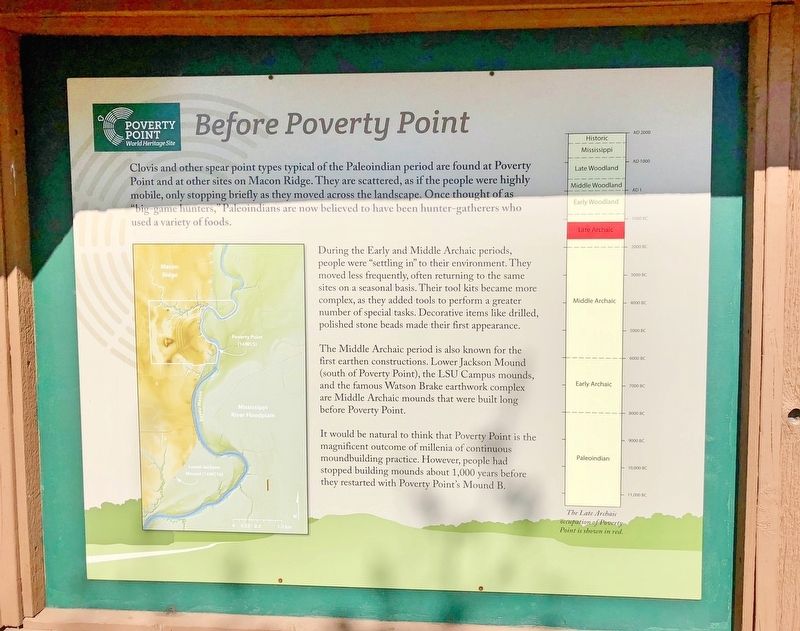
Before Poverty Point
— Poverty Point World Heritage Site —
Clovis and other spear point types typical of the Paleoindian period are found at Poverty Point and at other sites on Macon Ridge. They are scattered, as if the people were highly mobile, only stopping briefly as they moved across the landscape. Once thought of as big game hunters, Paleoindians are now believed to have been hunter-gatherers who used a variety of foods.
During the Early and Middle Archaic periods, people were "settling in" to their environment. They moved less frequently, often returning to the same sites on a seasonal basis. Their tool kits became more complex, as they added tools to perform a greater number of special tasks. Decorative items like drilled polished stone beads made their first appearance.
The Middle Archaic period is also known for the first earthen constructions. Lower Jackson Mound (south of Poverty Point), the LSU Campus mounds, and the famous Watson Brake earthwork complex are Middle Archaic mounds that were built long before Poverty Point.
It would be natural to think that Poverty Point is the magnificent outcome of millenia of continuous moundbuilding practice. However, people had stopped building mounds about 1,000 years before they restarted with Poverty Point's Mound B.
Erected by the State of Louisiana.
Topics. This historical marker is listed in these topic lists: Anthropology & Archaeology • Native Americans • Paleontology.
Location. 32° 38.152′ N, 91° 24.217′ W. Marker is near Pioneer, Louisiana, in West Carroll Parish. Marker can be reached from Louisiana Route 577, 1.2 miles north of Louisiana Route 134. Located near the Poverty Point Heritage Site Museum. Touch for map. Marker is at or near this postal address: 6859 Hwy 577, Pioneer LA 71266, United States of America. Touch for directions.
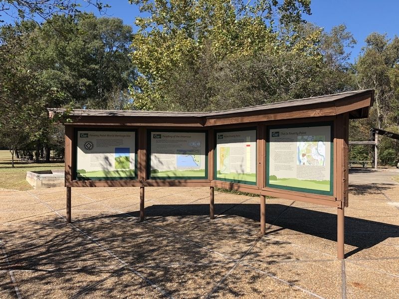
Other nearby markers. At least 8 other markers are within walking distance of this marker. The Natural and Cultural Environment (here, next to this marker); This is Poverty Point (here, next to this marker); Poverty Point Artifacts (here, next to this marker); The Poverty Point Landscape (here, next to this marker); Peopling of the Americas (here, next to this marker); Poverty Point World Heritage Site (here, next to this marker); After Poverty Point (here, next to this marker); Poverty Point Earthworks (a few steps from this marker). Touch for a list and map of all markers in Pioneer.
Also see . . . Wikipedia article on Poverty Point. (Submitted on November 13, 2017, by Mark Hilton of Montgomery, Alabama.)
Credits. This page was last revised on September 23, 2020. It was originally submitted on November 13, 2017, by Mark Hilton of Montgomery, Alabama. This page has been viewed 227 times since then and 14 times this year. Photos: 1, 2, 3. submitted on November 13, 2017, by Mark Hilton of Montgomery, Alabama.


