Pittsford in Monroe County, New York — The American Northeast (Mid-Atlantic)
The Great American Canal
The Canal System
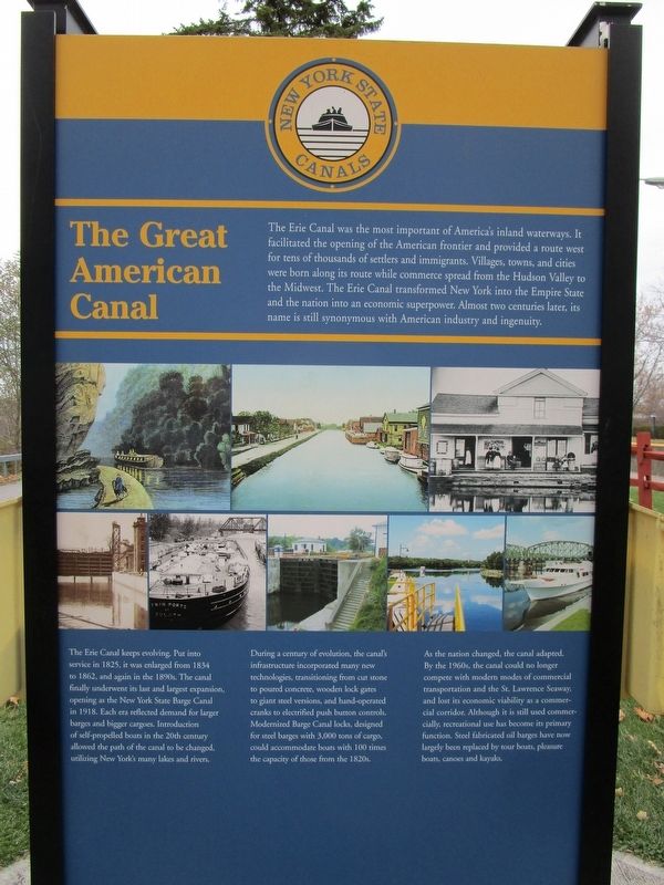
The Great American Canal
The Erie Canal was the most important of America’s inland waterways. It facilitated the opening of the American frontier and provided a route west for tens of thousands of settlers and immigrants. Villages, town, and cities were born along its route while commerce spread from the Hudson Valley to the Midwest. The Erie Canal transformed New York into the Empire State and the nation into an economic superpower. Almost two centuries later, its name is still synonymous with American industry and ingenuity.
The Erie Canal keeps evolving. Put into service in 1825, it was enlarged from 1834 to 1862, and again in the 1890s. The canal finally underwent its last and largest expansion, opening as the New York State Barge Canal in 1918. Each era reflected demand for larger barges and bigger cargoes. Introduction of self-propelled boats in the 20th century allowed the path of the canal to be changed, utilizing New York’s many lakes and rivers.
During an century of evolution, the canal’s infrastructure incorporated many new technologies, transitioning from cut stone to poured concrete, wooden lock gates to giant steel versions, and hand-operated cranks to electrified push button controls. Modernized Barge Canal locks, designed for steel barges with 3,000 tons of cargo, could accommodate boats with 100 times the capacity of those from the 1820s.
As the nation changed, the canal adapted. By the 1960s, the canal could no longer compete with modern modes of commercial transportation and the St. Lawrence Seaway, and lost its economic viability as a commercial corridor. Although it is still used commercially, recreational use has become its primary function. Steel fabricated oil barges have now largely been replace by tour boats, pleasure boats, canoes and kayaks.
[opposite side]
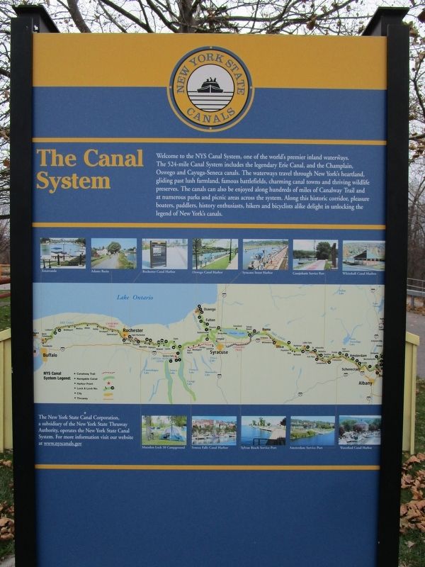
The Canal System
Welcome to the NYS Canal System, one of the world’s premier inland waterways. The 524-mile Canal System includes the legendary Erie Canal, and the Champlain, Oswego, and Cayuga-Seneca canals. The waterways travel through New York’s heartland, gliding past lush farmland, famous battlefields, charming canal towns and thriving wildlife preserves. The canals can also be enjoyed along hundreds of miles of Canalway Trail and at numerous parks and picnic areas across the system. Along this historic corridor, pleasure boaters, paddlers, history enthusiasts, hikers and bicyclists alike delight in unlocking the legend of New York’s canals.
Erected by New York State Canals.
Topics and series. This historical marker is listed in these topic lists: Man-Made Features
• Waterways & Vessels. In addition, it is included in the Erie Canal series list. A significant historical year for this entry is 1825.
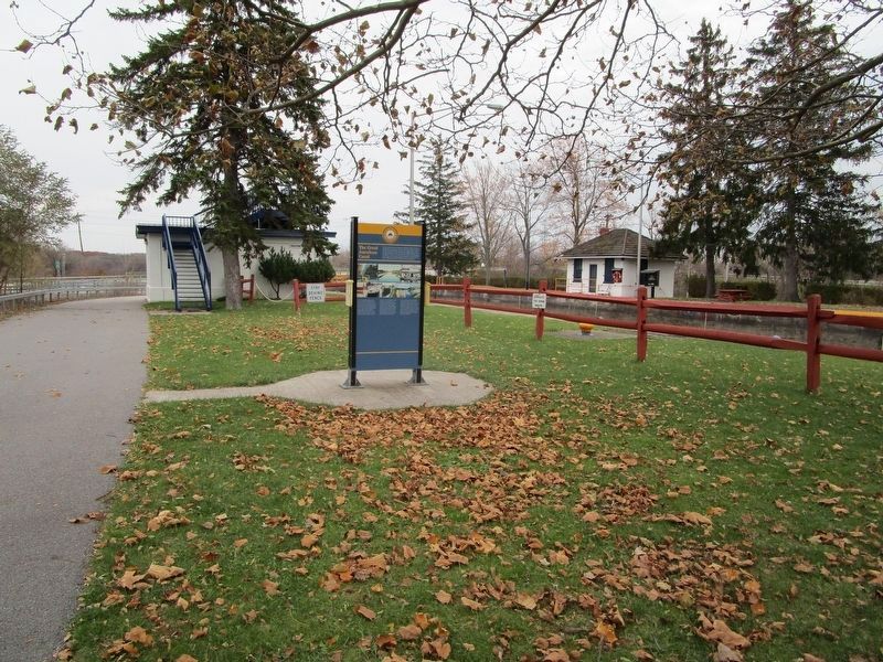
Location. 43° 5.484′ N, 77° 32.71′ W. Marker is in Pittsford, New York, in Monroe County. Marker can be reached from Colver Street (New York State Route 65) ¼ mile south of Framingham Lane. Marker is in Lock 32 State Canal Park. Touch for map. Marker is at or near this postal address: 2759 Clover Street, Pittsford NY 14534, United States of America. Touch for directions.
Other nearby markers. At least 8 other markers are within 2 miles of this marker, measured as the crow flies. Changing Alignments (approx. 0.2 miles away); The Empire State Trail (approx. 1.2 miles away); Spring House - 1822 (approx. 1.3 miles away); a different marker also named The Great American Canal (approx. 1.3 miles away); Phoenix Hotel (approx. 1½ miles away); Cobblestone Academy (approx. 1½ miles away); Pittsford Village (approx. 1½ miles away); Erie Canal (approx. 1½ miles away). Touch for a list and map of all markers in Pittsford.
More about this marker. There are at least two markers identical to this one; at Lock 33 in Henrietta and at Locks 34 & 35 at Lockport.
Credits. This page was last revised on November 14, 2017. It was originally submitted on November 13, 2017, by Anton Schwarzmueller of Wilson, New York. This page has been viewed 228 times since then and 19 times this year. Photos: 1, 2, 3. submitted on November 13, 2017, by Anton Schwarzmueller of Wilson, New York.


