Southfield in Oakland County, Michigan — The American Midwest (Great Lakes)
Presbyterian Church
Historical Site
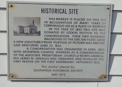
This marker is placed on this site in recognition of many years of continuous use as a place of worship.
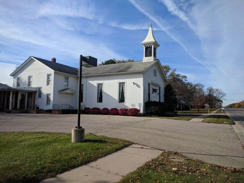
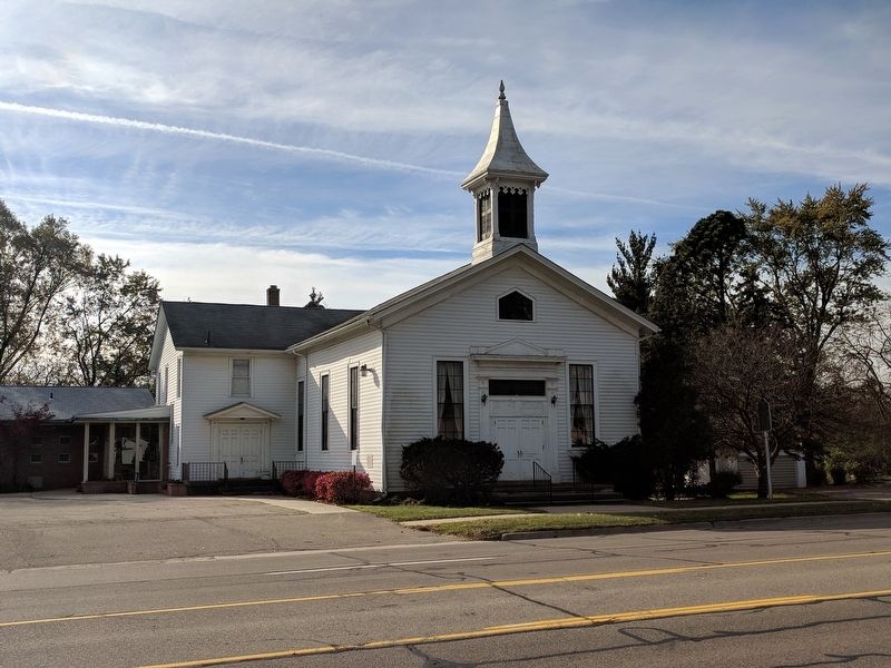
In the year of 1852 this site was donated by Ezekiel Hutton to the congregation. Their first building was moved to the site. Ten years later a new structure (front portion of picture) was erected and dedicated June 23, 1865.
A congregation was organized in April 1850 with seventeen charter members as a congregation of the Associate Presbyterian Church of North America. Rev. James M. Smeallie was ordained and installed the first pastor on the first Wednesday, September 1852.
Erected 1972 by Southfield Historical Society.
Topics. This historical marker is listed in this topic list: Churches & Religion. A significant historical month for this entry is April 1850.
Location. 42° 28.342′ N, 83° 15.36′ W. Marker is in Southfield, Michigan, in Oakland County. Marker is on West Ten Mile Road east of Lois Lane, on the right when traveling east. Touch for map. Marker is at or near this postal address: 21575 W Ten Mile Rd, Southfield MI 48075, United States of America. Touch for directions.
Other nearby markers. At least 8 other markers are within one mile of this marker, measured as the crow flies. Southfield United Presbyterian Church (a few steps from this marker); Pioneer Cemetery (approx. 0.3 miles away); Henry Ford (approx. 0.4 miles away); Lawrence Institute of Technology (approx. 0.4 miles away); Mary Thompson Farm (approx. 0.9 miles away); Mary Thompson House (approx. 0.9 miles away); Memorial Marker (approx. 0.9 miles away); Southfield Cemetery (approx. 1.1 miles away). Touch for a list and map of all markers in Southfield.
Credits. This page was last revised on March 29, 2022. It was originally submitted on November 15, 2017, by Joel Seewald of Madison Heights, Michigan. This page has been viewed 175 times since then and 14 times this year. Photos: 1, 2, 3. submitted on November 15, 2017, by Joel Seewald of Madison Heights, Michigan.


