Big Oak Flat in Tuolumne County, California — The American West (Pacific Coastal)
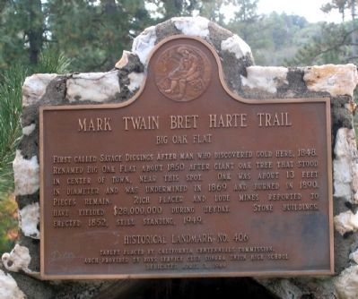
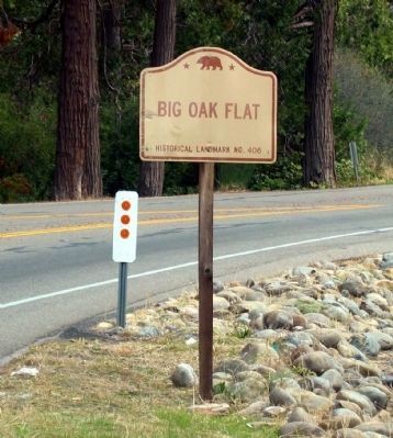
Big Oak Flat
— Mark Twain Bret Harte Trail —
Erected 1949 by The California Centennials Commission and The Boys Service Club, Sonora Union High School. (Marker Number 406.)
Topics and series. This historical marker is listed in these topic lists: Natural Resources • Notable Places • Settlements & Settlers. In addition, it is included in the California Historical Landmarks, and the Mark Twain Bret Harte Trail series lists. A significant historical year for this entry is 1848.
Location. 37° 49.361′ N, 120° 15.639′ W. Marker is in Big Oak Flat, California, in Tuolumne County. Marker is at the intersection of State Highway 120 and Vassar Street, on the right when traveling east on State Highway 120. Touch for map. Marker is in this post office area: Big Oak Flat CA 95305, United States of America. Touch for directions.
Other nearby markers. At least 8 other markers are within 5 miles of this marker, measured as the crow flies. Joseph E. Lemos (approx. 0.2 miles away); Groveland (approx. 2 miles away); Iron Door Saloon (approx. 2 miles away); Groveland Hotel (approx. 2 miles away); Arrastra (approx. 2.2 miles away); Ferretti Shrine (approx. 3.3 miles away); Second Garrote (approx. 3˝ miles away); Stevens Bar Bridge (approx. 4.8 miles away).
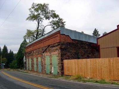
Regarding Big Oak Flat. The stone buildings mentioned on the marker are no longer there.
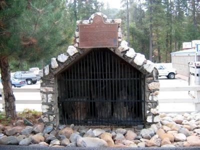
The pieces of the oak tree mentioned on the marker are located in the barred area under the marker.
Also see . . . Ghost Towns.Com. Big Oak Flat. (Submitted on September 2, 2008, by Syd Whittle of Mesa, Arizona.)
Credits. This page was last revised on March 26, 2022. It was originally submitted on September 2, 2008, by Syd Whittle of Mesa, Arizona. This page has been viewed 1,810 times since then and 32 times this year. Last updated on March 24, 2022, by James King of San Miguel, California. Photos: 1, 2. submitted on September 2, 2008, by Syd Whittle of Mesa, Arizona. 3, 4. submitted on December 8, 2008, by Syd Whittle of Mesa, Arizona. • J. Makali Bruton was the editor who published this page.


