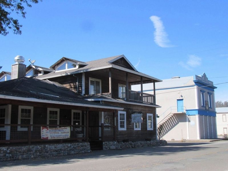
Stormy's
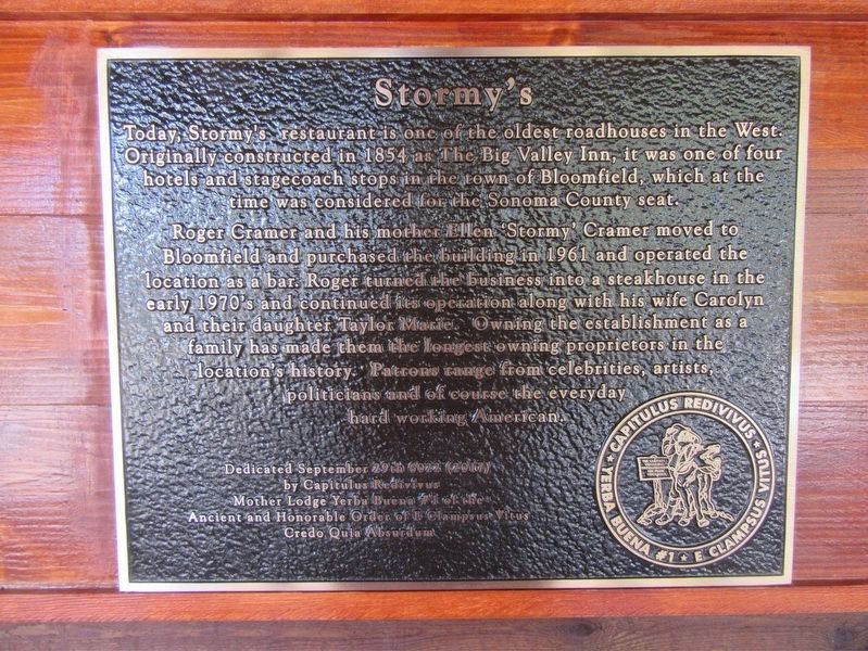
Roger Cramer and his mother Ellen 'Stormy' Cramer moved to Bloomfield and purchase the building in 1961 and operated the location as a bar. Roger turned the business into a steakhouse in the early 1970's and continued its operation along with his wife Carolyn and their daughter Taylor Marie. Owning the establishment as a family has made them the longest owning proprietors in the location's history. Patrons range from celebrities, artists, politicians and of course the everyday hard working American.
Dedicated September 29th 6022 (2017) By Capitulus Redivivus Mother Lodge Yerba Buena #1 of the Ancient and Honorable Order of E Clampsus Vitus Credo Quia Absurdum
Erected 2017 by E Clampsus Vitus.
Topics and series. This historical marker is listed in these topic lists: Industry & Commerce • Settlements & Settlers. In addition, it is included in the E Clampus Vitus series list. A significant historical date for this entry is September 29, 1854.
Location. 38° 18.768′ N, 122° 51.084′ W. Marker is
Other nearby markers. At least 8 other markers are within 6 miles of this marker, measured as the crow flies. Christo’s Running Fence (approx. 4 miles away); "Dos Piedras" (approx. 4.1 miles away); Tomales Town Hall (approx. 5.4 miles away); Freestone House (approx. 5.4 miles away); Tomales (approx. 5˝ miles away); Warren Dutton House - Tomales Community Park (approx. 5˝ miles away); Tomales Presbyterian Church (approx. 5.6 miles away); Running Fence (approx. 5.6 miles away).
Credits. This page was last revised on November 29, 2017. It was originally submitted on November 22, 2017, by Frank Gunshow Sanchez of Hollister, California. This page has been viewed 270 times since then and 26 times this year. Photos: 1, 2. submitted on November 22, 2017, by Frank Gunshow Sanchez of Hollister, California. • Andrew Ruppenstein was the editor who published this page.

