Idaho Falls in Bonneville County, Idaho — The American West (Mountains)
Keefer's Island
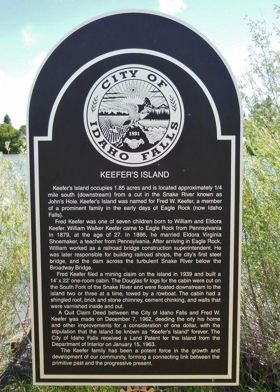
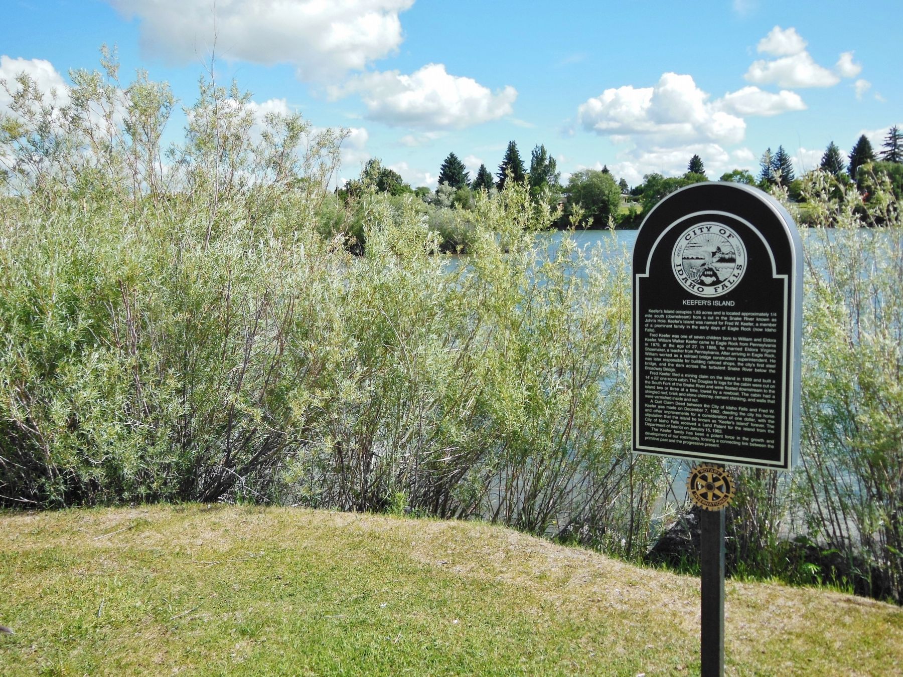
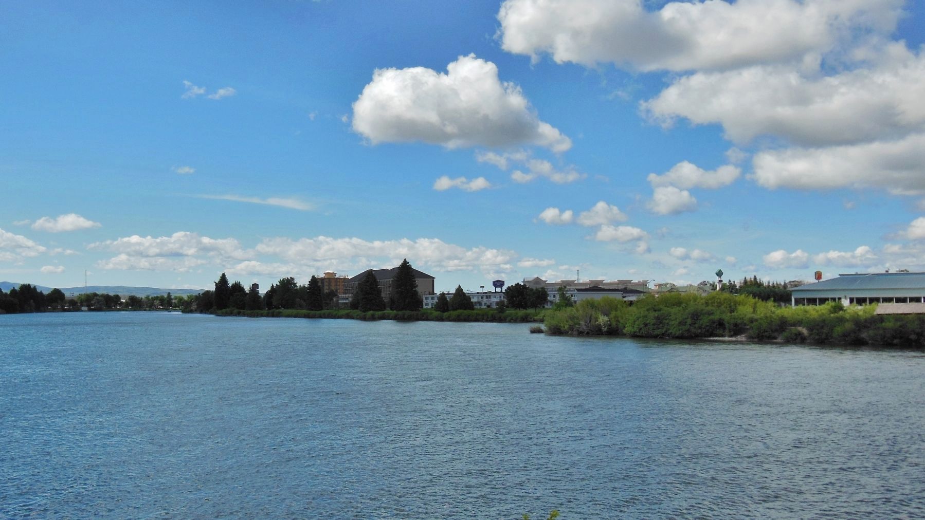
Keefer’s Island occupies 1.85 acres and is located approximately ¼ mile south (downstream) from a cut in the Snake River known as John’s Hole. Keefer’s Island was named for Fred. W. Keefer, a member of a prominent family in the early days of Eagle Rock (now Idaho Falls).
Fred Keefer was one of seven children born to William and Eldora Keefer. William Walker Keefer came to Eagle Rock from Pennsylvania in 1879, at the age of 27. In 1886, he married Eldora Virginia Shoemaker, a teacher from Pennsylvania. After arriving in Eagle Rock, William worked as a railroad bridge construction superintendent. He was later responsible for building railroad shops, the city’s first steel bridge, and the dam across the turbulent Snake River below the Broadway Bridge.
Fred Keefer filed a mining claim on the island in 1939 and built a 14’ x 22’ one-room cabin. The Douglas fir logs for the cabin were cut on the South Fork of the Snake River and were floated downstream to the island two or three at a time, towed by a rowboat. The cabin had a shingled roof, brick and stone chimney, cement chinking, and walls that were varnished inside and out.
A Quit Claim Deed between the City of Idaho Falls and Fred W. Keefer was made on December 7, 1962, deeding the city his home and other improvements for a consideration of one dollar, with the stipulation that the island be known as “Keefer’s Island” forever. The City of Idaho Falls received a Land Patent for the island from the Department of Interior on January 15, 1963.
The Keefer family has been a potent force in the growth and development of our community, forming a connecting link between the primitive past and the progressive present.
Topics. This historical marker is listed in this topic list: Settlements & Settlers.
Location. 43° 30.091′ N, 112° 2.763′ W. Marker is in Idaho Falls, Idaho, in Bonneville County. Marker is on Idaho Falls Greenbelt Trail, half a mile north of West Broadway Street, on the right when traveling north. Marker is located on the Idaho Falls Greenbelt Trail, between River Parkway and the Snake River. Touch for map. Marker is in this post office area: Idaho Falls ID 83402, United States of America. Touch for directions.
Other nearby markers. At least 8 other markers are within walking distance of this marker. Idaho Falls Idaho Temple (approx. 0.2 miles away); Native American Encampments (approx. ¼ mile away); Snake River Bridge (approx. 0.3 miles away); The Idaho Falls LDS Hospital and School of Nursing (approx. 0.3 miles away); Prisoners of War in Idaho Falls (approx. 0.4 miles away); Eagle Rock Meeting House (approx. 0.4 miles away); Upper Snake River Valley Irrigation (approx. 0.4 miles away); Highland Park (approx. 0.4 miles away). Touch for a list and map of all markers in Idaho Falls.
Also see . . .
1. The Island That Time Forgot. Idaho Falls Magazine website entry (Submitted on December 23, 2021, by Larry Gertner of New York, New York.)
2. Voices from the Past Eagle Rock By Fred W. Keefer June 20, 1970. BYU Library Digital Collection website entry:
Transcript of oral history given by Fred W. Keefer on June 20th, 1970 (Submitted on November 23, 2017, by Cosmos Mariner of Cape Canaveral, Florida.)

Photographed By Cosmos Mariner, June 20, 2013
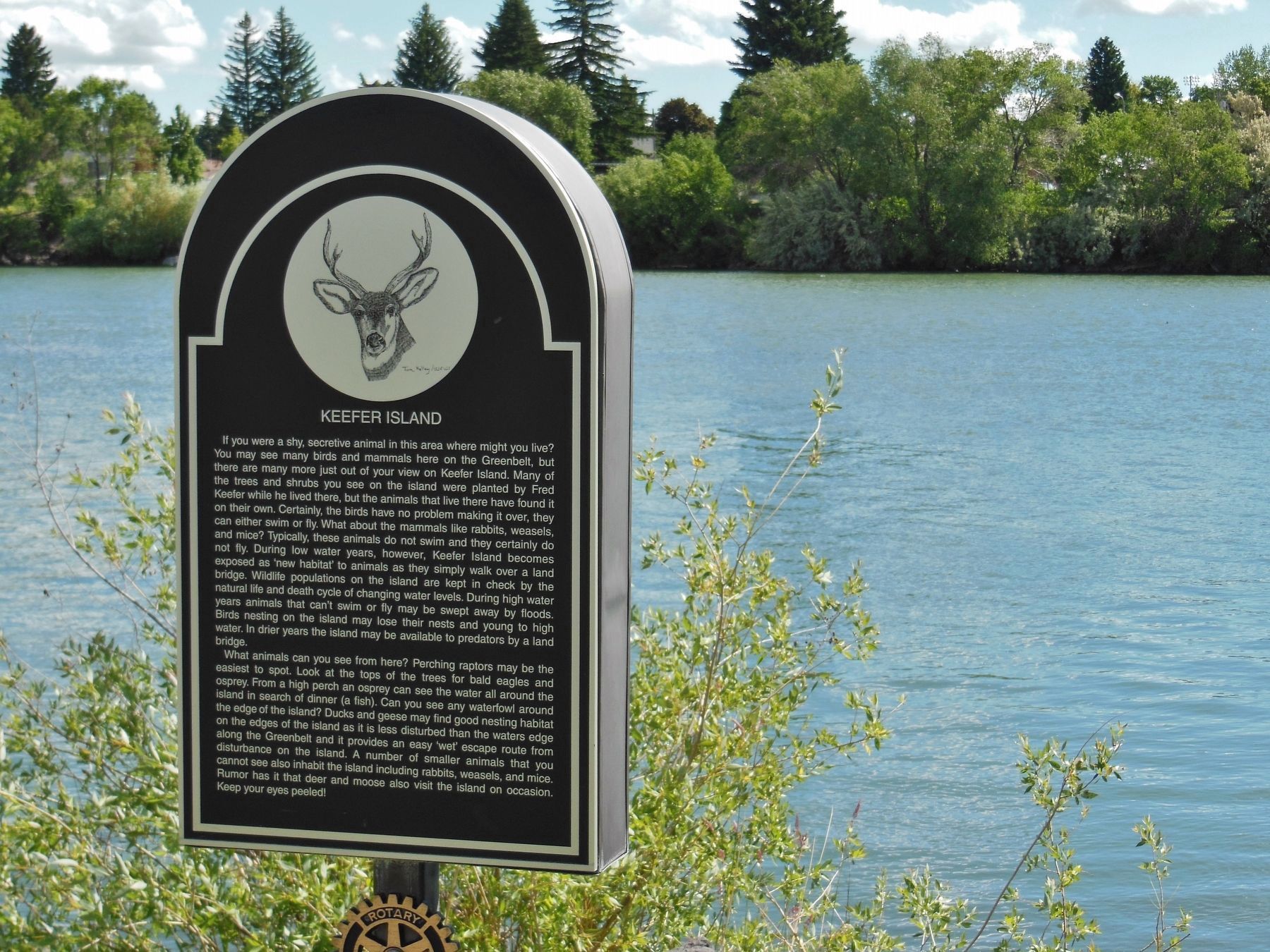
3. Keefer Island (supplemental natural habitat marker near Keefer's Island Marker)
If you were a shy, secretive animal in this area were might you live? You may see many birds and mammals here on the Greenbelt, but there are many more just out of your view on Keefer Island. Many of the trees and shrubs you see on the island were planted by Fred Keefer while he lived there, but the animals that live there have found it on their own. Certainly, the birds have no problem making it over, they can either swim or fly. What about the mammals like rabbits, weasels, and mice? Typically, these animals do not swim and they certainly do not fly. During low water years, however, Keefer Island becomes exposed as ‘new habitat’ to animals as they simply walk over a land bridge. Wildlife populations on the island are kept in check by the natural life and death cycle of changing water levels. During high water years animals that can’t swim or fly may be swept away by floods. Birds nesting on the island may lose their nests and young to high water. In drier years the island may be available to predators by a land bridge.
What animals can you see from here? Perching raptors may be the easiest to spot. Look at the tops of the trees for bald eagles and osprey. From a high perch an osprey can see the water all around the island in search of dinner (a fish). Can you see any waterfowl around the edge of the island? Ducks and geese may find good nesting habitat on the edges of th island as it is less disturbed than the waters edge along the Greenbelt and it provides an easy ‘wet’ escape route from disturbance on the island. A number of smaller animals that you cannot see also inhabit the island including rabbits, weasels, and mice. Rumor has it that deer and moose also visit the island on occasion. Keep your eyes peeled!
Credits. This page was last revised on December 23, 2021. It was originally submitted on November 23, 2017, by Cosmos Mariner of Cape Canaveral, Florida. This page has been viewed 1,793 times since then and 174 times this year. Photos: 1, 2, 3, 4. submitted on November 23, 2017, by Cosmos Mariner of Cape Canaveral, Florida. • Bill Pfingsten was the editor who published this page.


