Idaho Falls in Bonneville County, Idaho — The American West (Mountains)
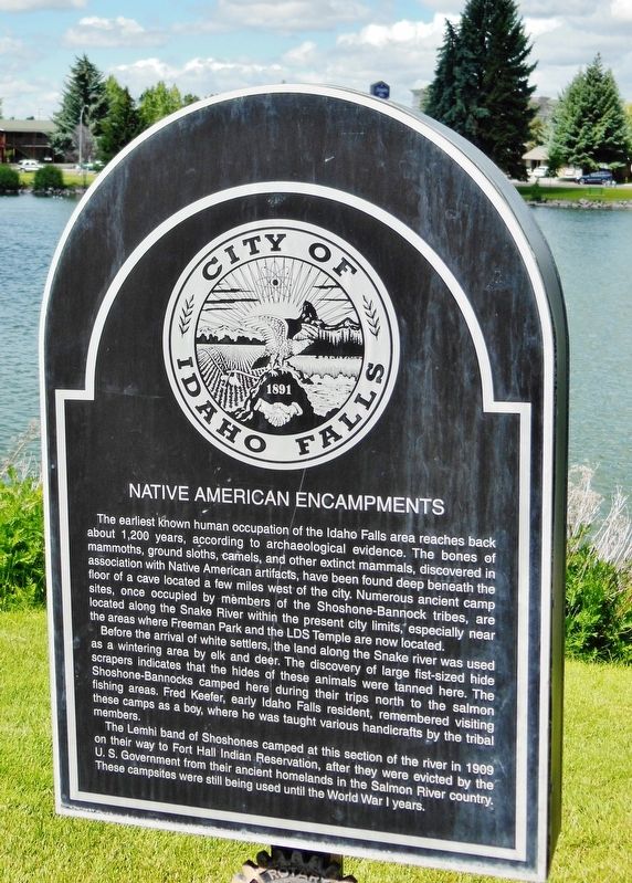
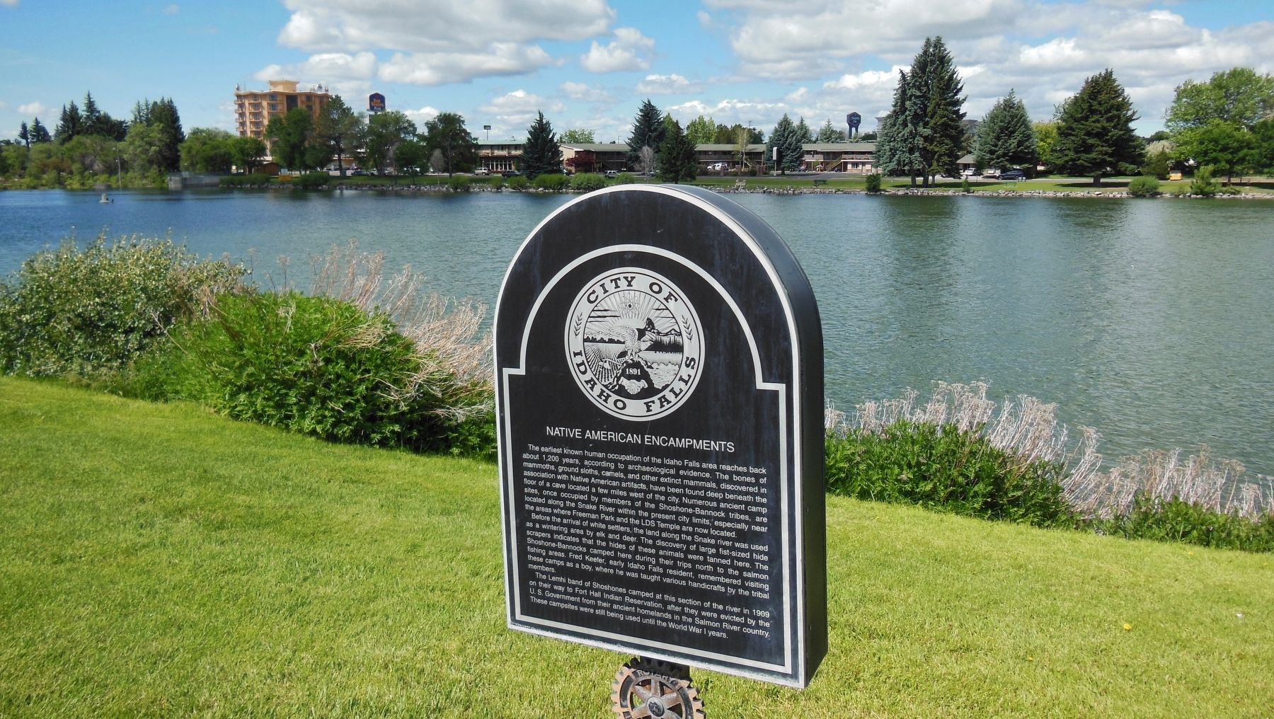
Native American Encampments
The earliest known human occupation of the Idaho Falls area reaches back about 1,200 years, according to archaeological evidence. The bones of mammoths, ground sloths, camels, and other extinct mammals, discovered in association with Native American artifacts, have been found deep beneath the floor of a cave located a few miles west of the city. Numerous ancient camp sites, once occupied by members of the Shoshone-Bannock tribes, are located along the Snake River within the present city limits, especially near the areas where Freeman Park and the LDS Temple are now located.
Before the arrival of white settlers, the land along the Snake River was used as a wintering area by elk and deer. The discovery of large fist-sized hide scrapers indicates that the hides of these animals were tanned here. The Shoshone-Bannocks camped here during their trips north to the salmon fishing areas. Fred Keefer, early Idaho Falls resident, remembered visiting these camps as a boy, where he was taught various handicrafts by the tribal members.
The Lemhi band of Shoshones camped at this section of the river in 1909 on their way to Fort Hall Indian Reservation, after they were evicted by the U.S. Government from their ancient homelands in the Salmon River country. These campsites were still being used until the World War I years.
Topics. This historical marker is listed in these topic lists: Native Americans • Settlements & Settlers.
Location. 43° 29.951′ N, 112° 2.542′ W. Marker is in Idaho Falls, Idaho, in Bonneville County. Marker is on Idaho Falls Greenbelt Trail, 0.1 miles north of Memorial Drive, on the left when traveling north. Marker is located on the Idaho Falls Greenbelt Trail, across Riverside Drive from the LDS Temple parking lot, overlooking the Snake River. Touch for map. Marker is in this post office area: Idaho Falls ID 83402, United States of America. Touch for directions.
Other nearby markers. At least 8 other markers are within walking distance of this marker. Idaho Falls Idaho Temple (about 600 feet away, measured in a direct line); The Idaho Falls LDS Hospital and School of Nursing (about 600 feet away); Eagle Rock Meeting House (about 800 feet away); Upper Snake River Valley Irrigation (approx. 0.2 miles away); Snake River Bridge (approx. 0.2 miles away); Prisoners of War in Idaho Falls (approx. ¼ mile away); Keefer's Island (approx. ¼ mile away); The Odd Fellows (approx. 0.4 miles away). Touch for a list and map of all markers in Idaho Falls.
Credits. This page was last revised on October 19, 2020. It was originally submitted on November 23, 2017, by Cosmos Mariner of Cape Canaveral, Florida. This page has been viewed 651 times since then and 66 times this year. Photos: 1, 2. submitted on November 23, 2017, by Cosmos Mariner of Cape Canaveral, Florida. • Bill Pfingsten was the editor who published this page.

