Near Rogers Pass in Columbia-Shuswap, British Columbia — Canada’s West Coast (North America)
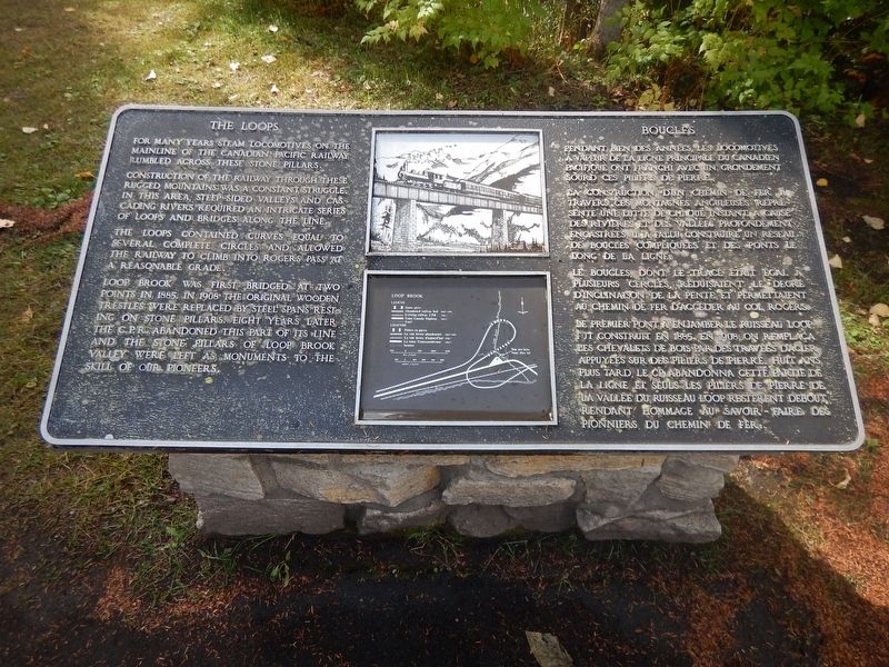
The Loops
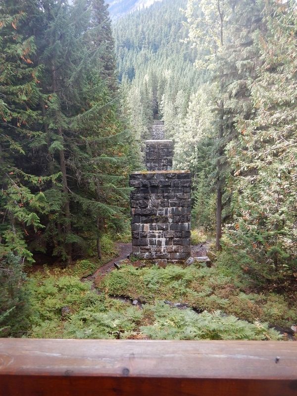
For many years steam locomotives on the mainline of the Canadian Pacific Railway rumbled across these stone pillars.
Construction of the railway through these rugged mountains was a constant struggle. In this area, steep-sided valleys and cascading rivers required an intricate series of loops and bridges along the line.
The loops contained curves equal to several complete circles and allowed the railway to climb into Rogers Pass at a reasonable grade.
Loop Brook was first bridged at two points in 1885. In 1908 the original wooden trestles were replaced by steel spans resting on stone pillars. Eight years later the CPR abandoned this part of its line and the stone pillars of Loop Brook valley were left as monuments to the skill of our pioneers.
Topics. This historical marker is listed in this topic list: Railroads & Streetcars.
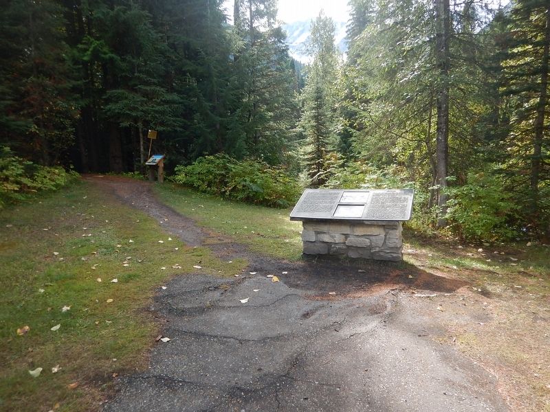
Location. 51° 15.569′ N, 117° 32.266′ W. Marker is near Rogers Pass, British Columbia, in Columbia-Shuswap. Marker is on Trans-Canada Highway (Provincial Highway 1), on the right when traveling east. Marker is next to a paved pull-out just east of the entrance of the Loop Brook campground. Touch for map. Marker is in this post office area: Rogers Pass BC V0E 2S0, Canada. Touch for directions.
Other nearby markers. At least 1 other marker is within 3 kilometers of this marker, measured as the crow flies. Glacier House (approx. 3.1 kilometers away).
Credits. This page was last revised on August 21, 2020. It was originally submitted on November 24, 2017, by Kevin Craft of Bedford, Quebec. This page has been viewed 364 times since then and 38 times this year. Photos: 1, 2, 3. submitted on November 24, 2017, by Kevin Craft of Bedford, Quebec.


