Adairsville in Gordon County, Georgia — The American South (South Atlantic)
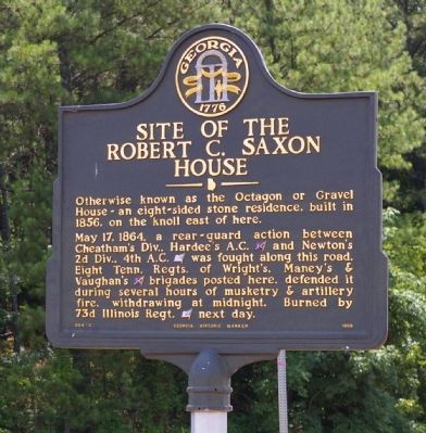
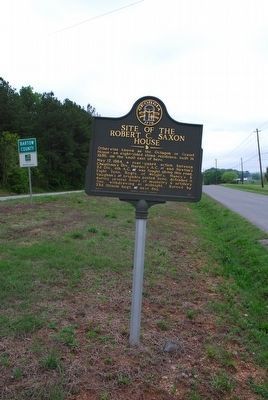
Site of the Robert C. Saxon House
Otherwise known as the Octagon or Gravel House ~ an eight~sided stone residence, built in 1856, on the knoll east of here.
May 17, 1864, a rear guard action between Cheatham’s Div., Hardee’s A. C. and Newton’s 2d Div., 4th A. C. was fought along this road. Eight Tenn. Regts. of Wright’s, Maney’s and Vaughan’s brigades posted here, defended it during several hours of musketry and artillery fire, withdrawing at midnight. Burned by 73d Illinois Regt. next day.
Erected 1998 by Georgia Department of Natural Resources. (Marker Number 064-2.)
Topics and series. This historical marker is listed in this topic list: War, US Civil. In addition, it is included in the Georgia Historical Society series list. A significant historical month for this entry is May 1851.
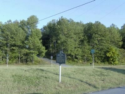
Location. Marker is missing. It was located near 34° 24.082′ N, 84° 56.102′ W. Marker was in Adairsville, Georgia, in Gordon County. Marker was at the intersection of Joe Frank Harris Parkway (U.S. 41) and Miller Ferry Road, on the right when traveling south on Joe Frank Harris Parkway. Touch for map. Marker was in this post office area: Adairsville GA 30103, United States of America. Touch for directions.
Other nearby markers. At least 8 other markers are within 3 miles of this location, measured as the crow flies. Original Site Adairsville — 1830’s (approx. ¼ mile away); Cherokee Nation (approx. 1.1 miles away); Major John Lewis (approx. 1.2 miles away); Historic Trimble House (approx. 2 miles away); Joe P. Bowdoin, M.D. (approx. 2.3 miles away); Adairsville, Georgia (approx. 2.3 miles away); The Great Locomotive Chase (approx. 2.4 miles away); Mosteller's Mills (approx. 2.4 miles away). Touch for a list and map of all markers in Adairsville.
Credits. This page was last revised on April 24, 2023. It was originally submitted on September 4, 2008, by David Seibert of Sandy Springs, Georgia. This page has been viewed 2,111 times since then and 34 times this year. Photos: 1. submitted on September 4, 2008, by David Seibert of Sandy Springs, Georgia. 2. submitted on October 11, 2008, by David Tibbs of Resaca, Georgia. 3. submitted on August 11, 2015, by Brandon Fletcher of Chattanooga, Tennessee. 4. submitted on April 24, 2023, by Tim Fillmon of Webster, Florida. • Craig Swain was the editor who published this page.


