Calhoun in Gordon County, Georgia — The American South (South Atlantic)
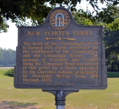
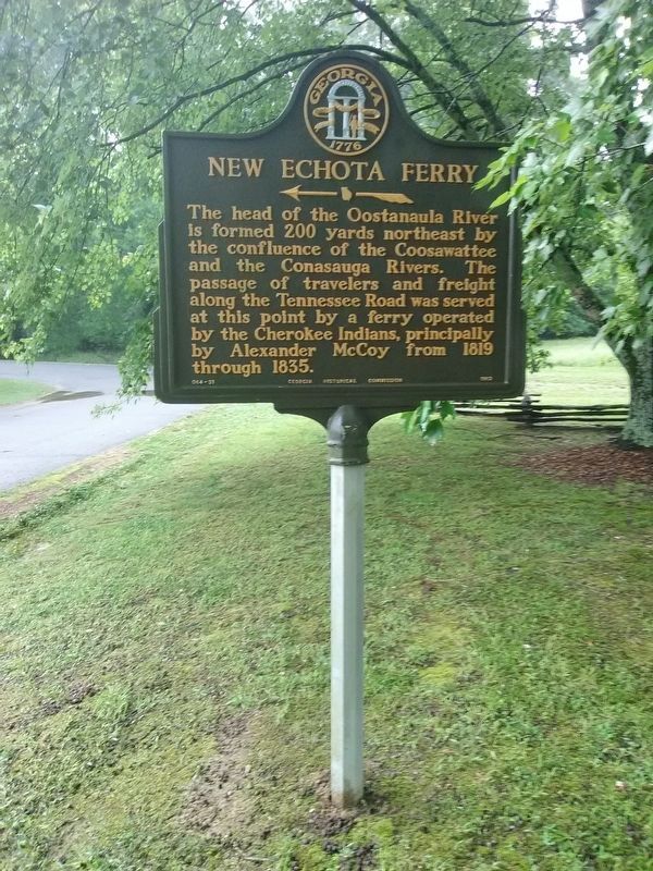
New Echota Ferry
←
The head of the Oostanaula River is formed 200 yards northeast by the confluence of the Coosawattee and the Conasauga Rivers. The passage of travelers and freight along the Tennessee Road was served at this point by a ferry operated by the Cherokee Indians, principally by Alexander McCoy from 1819 through 1835.
Erected 1962 by Georgia Historical Commission. (Marker Number 064-31.)
Topics and series. This historical marker is listed in these topic lists: Industry & Commerce • Native Americans • Waterways & Vessels. In addition, it is included in the Georgia Historical Society series list. A significant historical year for this entry is 1819.
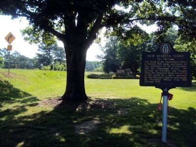
Location. 34° 32.47′ N, 84° 54.492′ W. Marker is in Calhoun, Georgia, in Gordon County. Marker is on Joseph Vann Highway (Georgia Route 225) 0.6 miles east of Newtown Church Road, on the right when traveling east. Marker is located in the parking lot of the New Echota Historic Site. Touch for map. Marker is in this post office area: Calhoun GA 30701, United States of America. Touch for directions.
Other nearby markers. At least 8 other markers are within 2 miles of this marker, measured as the crow flies. Hicks/McCoy House Sites (within shouting distance of this marker); New Echota (about 400 feet away, measured in a direct line); Historic Site in Journalism (about 400 feet away); Trail of Tears (about 500 feet away); Cherokee Indian Memorial (about 500 feet away); New Echota Cemetery (approx. half a mile away); Sequoyah (approx. 1.8 miles away); Calhoun War Memorial (approx. 1.8 miles away). Touch for a list and map of all markers in Calhoun.
Credits. This page was last revised on April 29, 2022. It was originally submitted on September 4, 2008, by David Seibert of Sandy Springs, Georgia. This page has been viewed 1,388 times since then and 29 times this year. Photos: 1. submitted on September 4, 2008, by David Seibert of Sandy Springs, Georgia. 2. submitted on June 9, 2013, by Jamie Abel of Westerville, Ohio. 3. submitted on November 28, 2021, by Craig Doda of Napoleon, Ohio. • Craig Swain was the editor who published this page.


