Denmark in Bamberg County, South Carolina — The American South (South Atlantic)
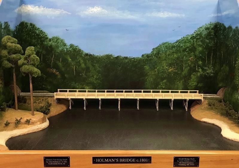
Holman's Bridge
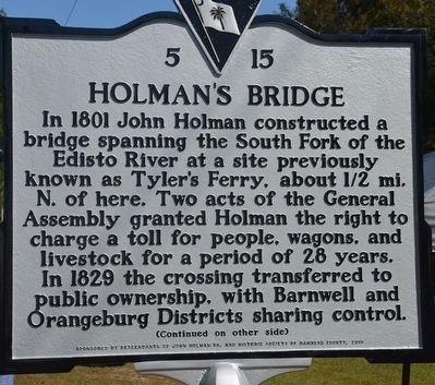
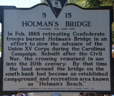
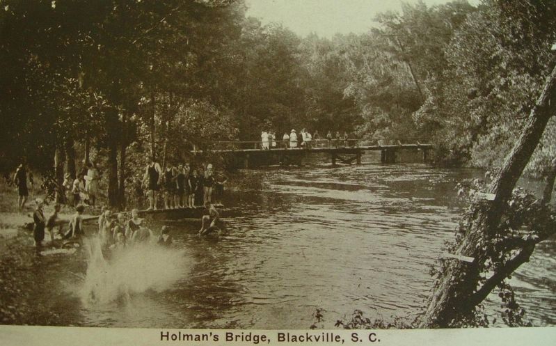
In 1801 John Holman constructed a bridge spanning the South Fork of the Edisto River at a site previously known as Tyler's Ferry, about 1/2 mi. N. of here. Two acts of the General Assembly granted Holman the right to charge a toll for for people, wagons, and livestock for a period of 28 years. In 1829 the crossing transferred to public ownership, with Barnwell and Orangeburg Districts sharing control.
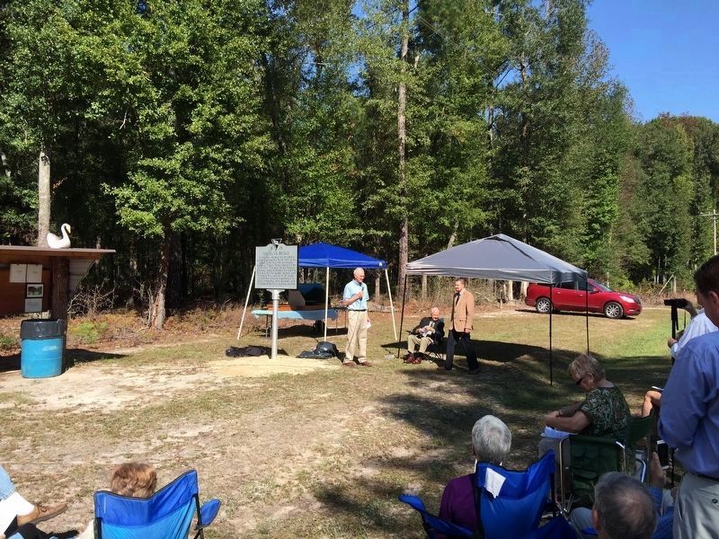
Erected 2015 by Decendants of John Holman Sr. and Historic Society of Bamberg County. (Marker Number 5-15.)
Topics. This historical marker is listed in these topic lists: Bridges & Viaducts • War, US Civil. A significant historical year for this entry is 1801.
Location. 33° 23.84′ N, 81° 9.56′ W. Marker is in Denmark , South Carolina, in Bamberg County. Marker is on Holman Bridge Road, 0.3 miles south of Rogers Road, on the left when traveling north. Touch for map. Marker is in this post office area: Denmark SC 29042, United States of America. Touch for directions.
Other nearby markers. At least 8 other markers are within 7 miles of this marker, measured as the crow flies. Denmark High School (approx. 4.9 miles away); Denmark Depot (approx. 5 miles away); AT&T Building (approx. 5.4 miles away); Rocky Swamp Rosenwald School (approx. 5˝ miles away); Voorhees College (approx. 6.3 miles away); God’s Acre Healing Springs (approx. 6.6 miles away); Healing Springs (approx. 6.6 miles away); a different marker also named God’s Acre Healing Springs (approx. 6.6 miles away). Touch for a list and map of all markers in Denmark.
Credits. This page was last revised on December 2, 2017. It was originally submitted on November 28, 2017, by Eric Powell of Orangeburg, South Carolina. This page has been viewed 803 times since then and 121 times this year. Photos: 1, 2, 3, 4, 5. submitted on November 28, 2017, by Eric Powell of Orangeburg, South Carolina. • Bernard Fisher was the editor who published this page.
