Augusta in Kennebec County, Maine — The American Northeast (New England)
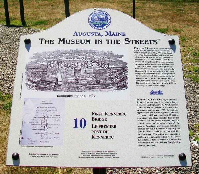
First Kennebec Bridge / Le premier pont du Kennebec
Augusta, Maine
— The Museum in the Streets® —
Inscription.
For over 200 years, this site has anchored a span over the Kennebec River. Construction of the first bridge began in May 1797 by the Proprietors of the Kennebec Bridge, which owned and subsequently operated the bridge. Completed on November 21, 1797, at a cost of $27,000, the uncovered toll bridge featured two spans supported by rounded arches, a center pier, and abutments constructed of stone. Its completion gave Augusta the distinction of having the first span over the Kennebec River, as well as having the largest bridge in the District of Maine. The bridge served the community well, but exposure to the elements caused decay, and on Sunday, June 23, 1816, the eastern span collapsed into the river. The remains were removed by early 1818 to make way for a new covered bridge.
Erected by The Museum in the Streets®. (Marker Number 10.)
Topics and series. This historical marker is listed in these topic lists: Bridges & Viaducts • Waterways & Vessels. In addition, it is included in the The Museum in the Streets®: Augusta, Maine series list. A significant historical month for this entry is May 1797.
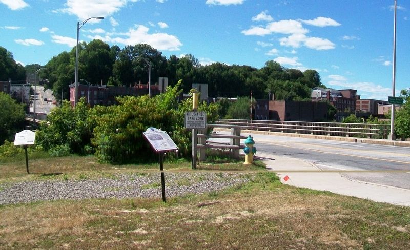
Location. 44° 18.992′ N, 69° 46.277′ W. Marker is in Augusta, Maine, in Kennebec County. Marker is at the intersection of Cony Street and the east side of the Kennebec River Bridge, on the left when traveling west on Cony Street. Touch for map. Marker is in this post office area: Augusta ME 04330, United States of America. Touch for directions.
Other nearby markers. At least 8 other markers are within walking distance of this marker. Old Fort Western / Le vieux Fort Western (here, next to this marker); Birds and Fish of the Kennebec (a few steps from this marker); Sousa the nonpariel / L'incomparable Souza
(within shouting distance of this marker); Gunshots Reverberate on the Kennebec / Des coups de fusil résonnent sur le fleuve Kennebec (about 300 feet away, measured in a direct line); Comfort Magazine / Le Magazine Comfort (about 300 feet away); Augusta, Maine (about 400 feet away); Cushnoc Trading Post / Le Comptoir Commercial De Cushnoc (about 400 feet away); 1775 Quebec Expedition (about 400 feet away). Touch for a list and map of all markers in Augusta.
Also see . . . The Museum in the Streets Tour Map, Augusta, Maine. (Submitted on November 29, 2017, by William Fischer, Jr. of Scranton, Pennsylvania.)
Credits. This page was last revised on November 17, 2021. It was originally submitted on November 29, 2017, by William Fischer, Jr. of Scranton, Pennsylvania. This page has been viewed 378 times since then and 15 times this year. Photos: 1, 2. submitted on November 29, 2017, by William Fischer, Jr. of Scranton, Pennsylvania.

