Snyder in Scurry County, Texas — The American South (West South Central)
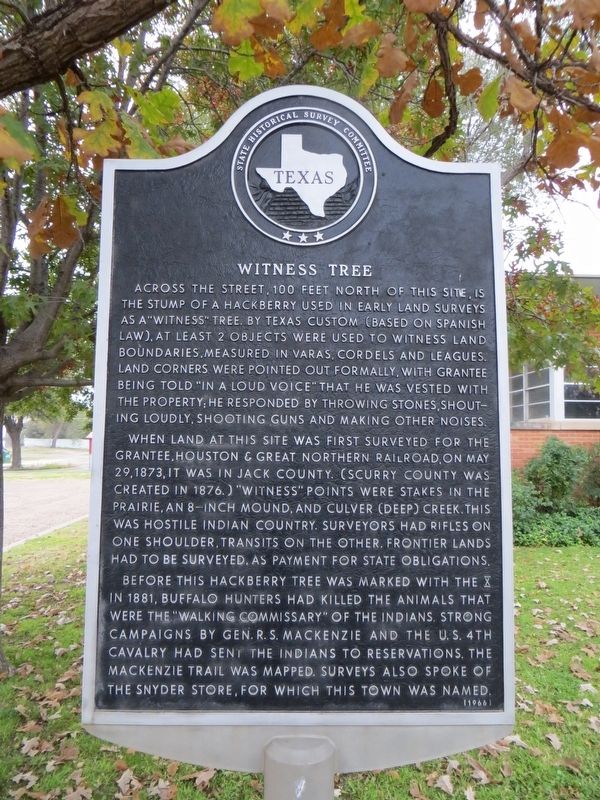
Witness Tree
When land at this site was first surveyed for the grantee, Houston & Great Northern Railroad, on May 29, 1873, it was in Jack County. (Scurry County was created in 1876.) "Witness" points were stakes in the prairie, an 8-inch mound, and Culver (Deep) Creek. This was hostile Indian country. Surveyors had rifles on one shoulder, transits on the other. Frontier lands had to be surveyed, as payment for state obligations.
Before this hackberry tree was marked with the "X" in 1881, buffalo hunters had killed the animals that were the "walking commissary" of the Indians. Strong campaigns by Gen. R. S. MacKenzie and the U.S. 4th Cavalry had sent the Indians to reservations. The MacKenzie Trail was mapped. Surveys also spoke of the Snyder Store, for which this town was named.
Erected 1966 by State Historical Survey Committee. (Marker Number 5880.)
Topics. This historical marker is listed in these topic lists: Exploration • Settlements & Settlers. A significant historical date for this entry is May 29, 1873.
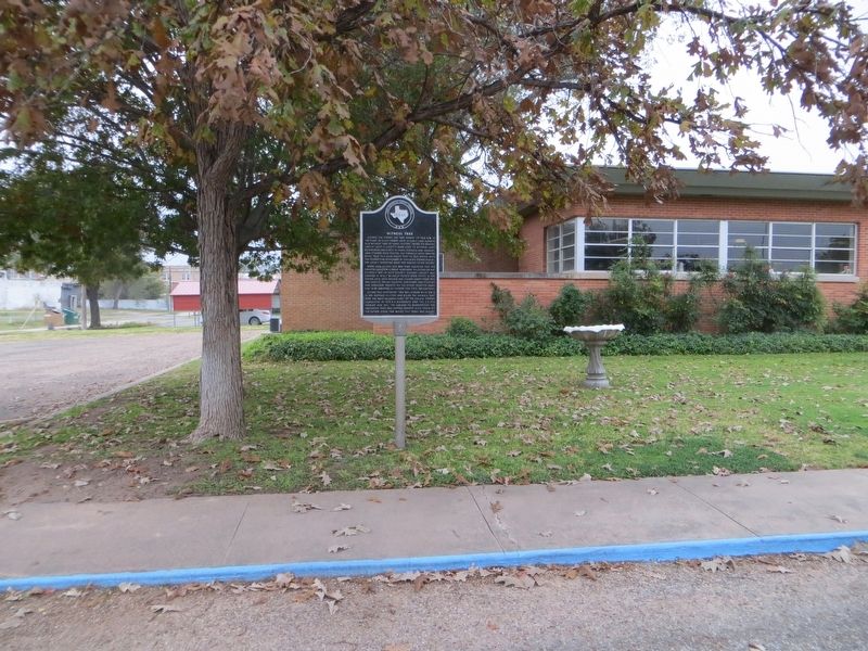
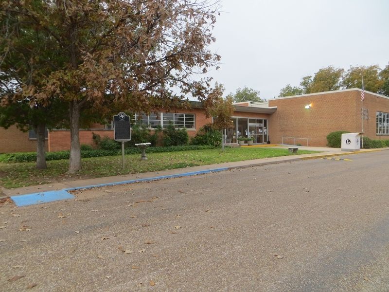
Location. 32° 43.139′ N, 100° 55.158′ W. Marker is in Snyder, Texas, in Scurry County. Marker is on 23rd Street west of College Avenue, on the left when traveling west. Touch for map. Marker is at or near this postal address: 1916 23rd Street, Snyder TX 79549, United States of America. Touch for directions.
Other nearby markers. At least 8 other markers are within walking distance of this marker. A different marker also named Witness Tree (within shouting distance of this marker); City of Snyder (within shouting distance of this marker); First State Bank Building (about 800 feet away, measured in a direct line); Site of O.K. Wagon Yard (about 800 feet away); Home County of Famous Frontiersman J. Wright Mooar (approx. 0.2 miles away); Channel of Deep Creek (approx. 0.2 miles away); County Named for Texas Confederate William R. Scurry (approx. 0.2 miles away); Company G (approx. 0.2 miles away). Touch for a list and map of all markers in Snyder.
Credits. This page was last revised on December 2, 2017. It was originally submitted on December 2, 2017, by Bill Kirchner of Tucson, Arizona. This page has been viewed 325 times since then and 25 times this year. Photos: 1, 2, 3. submitted on December 2, 2017, by Bill Kirchner of Tucson, Arizona.


