Mountain View in Hawaii County, Hawaii — Hawaiian Island Archipelago (Pacific Ocean)
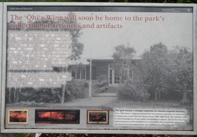
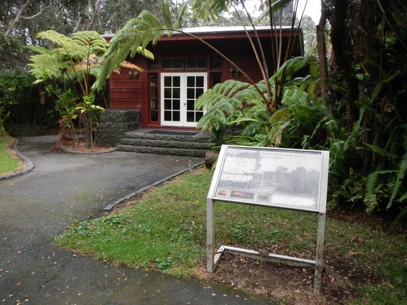
The 'Ōhi'a Wing will soon be home to the park's collection of artwork and artifacts
Inscription.
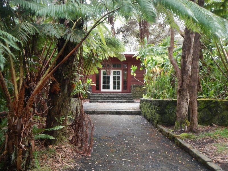
The 'Ōhi'a Wing was built by the Civilian Conservation Corps (CCC) in 1932 (sic), and originally served as "Park Headquarters" for Hawaii National Park. Constructed in the classic Rustic Style, it was one of many projects that employed hundreds of young men struggling with unemployment during the Great Depression. With the effects of the Depression still looming and the onset of World War II, many important decisions regarding the safety of the park were made in this very building. Due to a surge in travel after the war, it was released Volcano House, renamed ''Ōhi'a Wing, and renovated to accommodate worldwide visitors eager to experience Kīlauea Volcano.
Change is once again in the wind for the 'Ōhi'a Wing. The park plans to rehabilitate the interior to preserve, protect and feature the park's museum collection which includes artwork and photographs, natural history specimens, and artifacts.
The park houses a notable collection of volcano-inspired artworks. Since 1939, Hawai'i Volcanoes National Park has amassed a significant art collection, including many works from the Volcano School (1880-1890) artists. This collection offers a historical perspective of each artist's interpretation of Kīluea. For the first time, these celebrated pieces will be exhibited in an environment that ensures their preservation and security for future generations, and availability for public enjoyment.
Erected by National Park Service, Hawai'i Volcanoes National Park.
Topics and series. This historical marker is listed in these topic lists: Charity & Public Work • Notable Buildings. In addition, it is included in the Civilian Conservation Corps (CCC) series list.
Location. 19° 25.728′ N, 155° 15.456′ W. Marker is in Mountain View, Hawaii, in Hawaii County. Marker can be reached from Crater Rim Drive near Mamalahoa Highway (Hawaii Route 11), on the left when traveling west. Touch for map. Marker is in this post office area: Mountain View HI 96771, United States of America. Touch for directions.
Other nearby markers. At least 8 other markers are within 2 miles of this marker, measured as the crow flies. The Volcano House reigns as one of America's great lodges (within shouting distance of this marker); Site of Hawaiian Volcano Observatory (within shouting distance of this marker); Kilauea (about 300 feet away, measured in a direct line); Stephen Tyng Mather (about 300 feet away); Hawaii Volcanoes National Park (about 300 feet away); Countless are the Accomplishments of Roosevelt's Trusty "Tree Army" (about 300 feet away); Explosive eruptions rock Kīlauea volcano (approx. 1.8 miles away); Mauna Loa (approx. 2.1 miles away).
More about this marker. The 'Ōhi'a Wing is located on the pathway between Volcano House and Kilauea Visitor Center.
Credits. This page was last revised on December 28, 2017. It was originally submitted on December 4, 2017, by Barry Swackhamer of Brentwood, California. This page has been viewed 265 times since then and 25 times this year. Photos: 1, 2, 3. submitted on December 4, 2017, by Barry Swackhamer of Brentwood, California. • Bill Pfingsten was the editor who published this page.


