Near Caldwell in Burleson County, Texas — The American South (West South Central)
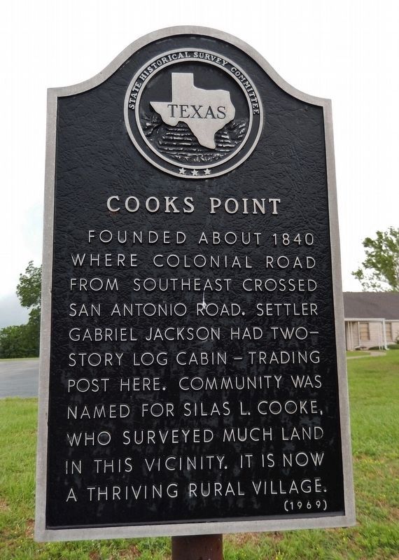
Cooks Point
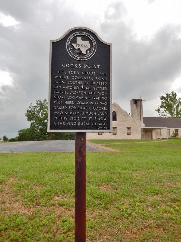
Founded about 1840 where colonial road from southeast crossed San Antonio Road. Settler Gabriel Jackson had two-story log cabin-trading post here. Community was named for Silas L. Cooke, who surveyed much land in this vicinity. It is now a thriving rural village.
Erected 1969 by State Historical Survey Committee. (Marker Number 7566.)
Topics. This historical marker is listed in these topic lists: Roads & Vehicles • Settlements & Settlers. A significant historical year for this entry is 1840.
Location. 30° 35.767′ N, 96° 36.632′ W. Marker is near Caldwell, Texas, in Burleson County. Marker is at the intersection of Presidential Corridor E (State Highway 21) and County Road 216, on the right when traveling west on Presidential Corridor E. Marker is located in a pull-out in front of the Cooks Point Bretheren Church. Touch for map. Marker is at or near this postal address: 6945 TX-21, Caldwell TX 77836, United States of America. Touch for directions.
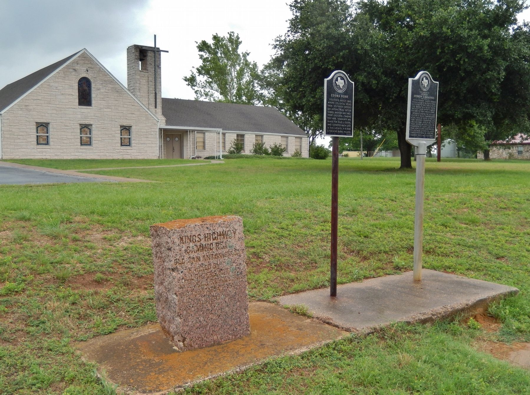
Other nearby markers. At least 8 other markers are within 5 miles of this marker, measured as the crow flies. Kings Highway (here, next to this marker); Near Homesite of Judge Andrew S. Broaddus (here, next to this marker); Elizabeth Chapel Methodist Church (approx. 1.8 miles away); Fort Tenoxtitlan (approx. 1.8 miles away); Duewall House (approx. 2.7 miles away); New Tabor Brethren Church (approx. 4.1 miles away); Kings Highway Camino Real — Old San Antonio Road (approx. 4.1 miles away); Moseley's Ferry (approx. 4.4 miles away). Touch for a list and map of all markers in Caldwell.
Also see . . . Cooks Point.
Cooks Point is one of the oldest communities in the county. The community began as a crossroads settlement at the point where the old Colonial Road from Washington-on-the-Brazos and Independence to Tenoxtitlan and Nashville crossed the Old San Antonio Road. The first recorded trading post in the area was that of Gabriel Jackson, who built a two-story log house nearby and operated a store on the first floor. In 1854 Judge A. S. Broaddus led a wagon train, stretching over a mile long, of eighty whites and 120 blacks from Virginia to Cooks Point. (Submitted on December 6, 2017, by Cosmos Mariner of Cape Canaveral, Florida.)
Credits. This page was last revised on August 27, 2020. It was originally submitted on December 6, 2017, by Cosmos Mariner of Cape Canaveral, Florida. This page has been viewed 684 times since then and 63 times this year. Last updated on October 30, 2018, by Brian Anderson of Humble, Texas. Photos: 1, 2, 3. submitted on December 6, 2017, by Cosmos Mariner of Cape Canaveral, Florida. • Andrew Ruppenstein was the editor who published this page.


