Near Sumpter in Baker County, Oregon — The American West (Northwest)
A Tale of the Tailings
Natural Recovery

Photographed By Barry Swackhamer, June 29, 2017
1. A Tale of the Tailings Marker
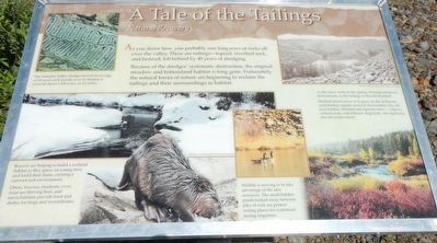
Captions: (top left) The Sumpter Valley dredge moved and average of 10 acres each month; over its lifetime it covered about 1,100 acres, or 6 1/2 miles.; (bottom left) Beavers are helping to build a wetland habitat as they gnaw on young trees and build their dams, creating a nutrient-rich environment. Otter, beavers, muskrats, even trout are thriving here, and micro-habitats provide food and shelter for frogs and invertebrates. ; (top right) As the snow melts in the spring, it brings sediment downstream, to the tailings in the old riverbed. Wetland plants move in to grow on the sediment, contributing organic material that enriches the soil even further. Wetland and riparian trees - willows, cottonwoods, and redosier dogwood - are replacing the old conifer forest.; (bottom right) Wildlife is moving in to take advantage of the new resources, the small hidden ponds tucked away between piles of rock are perfect resting places for waterfowl during migration.
Because of the dredges' systematic destruction, the original meadow and bottomlands habitat is long gone. Fortunately, the natural forces of nature are beginning to reclaim the tailings and their surroundings as habitat.
Erected by Oregon State Parks.
Topics. This historical marker is listed in these topic lists: Environment • Industry & Commerce.
Location. 44° 44.562′ N, 118° 12.318′ W. Marker is near Sumpter, Oregon, in Baker County. Marker can be reached from Austin Street near Mill Street, on the right when traveling south. Touch for map. Marker is at or near this postal address: 211 Austin Street, Sumpter OR 97877, United States of America. Touch for directions.
Other nearby markers. At least 6 other markers are within walking distance of this marker. Anchoring the Dredge (within shouting distance of this marker); A Working Dredge (about 300 feet away, measured in a direct line); Floating in its own pond (about 500 feet away); A Golden History (about 700 feet away); Site of Bank of Sumpter (approx. 0.3 miles away); Sumpter, Oregon (approx. 0.4 miles away).
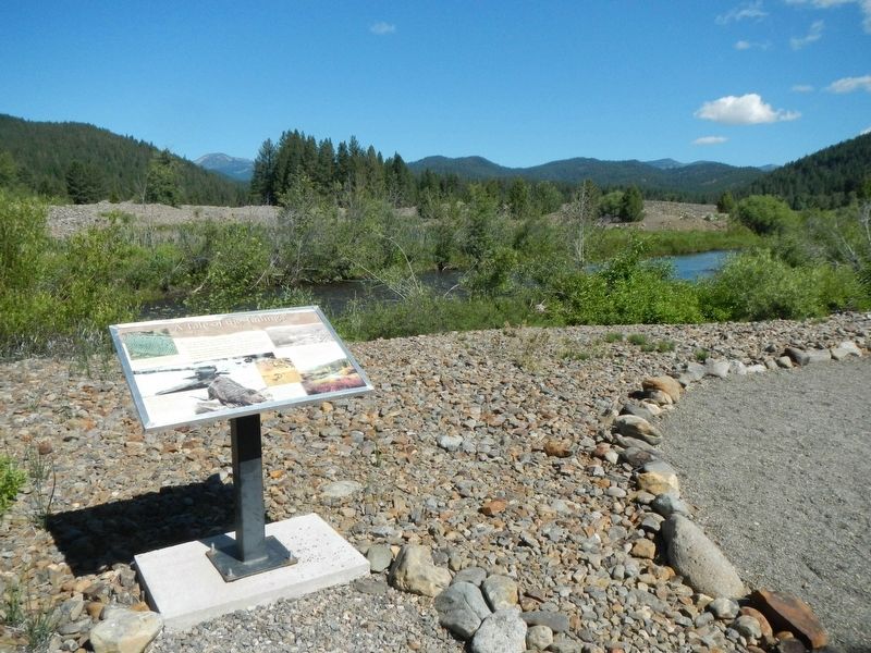
More about this marker. This marker is located on the trail that circles the dredge pond.
Credits. This page was last revised on December 9, 2017. It was originally submitted on December 9, 2017, by Barry Swackhamer of Brentwood, California. This page has been viewed 136 times since then and 12 times this year. Photos: 1, 2. submitted on December 9, 2017, by Barry Swackhamer of Brentwood, California.
