Near La Pryor in Zavala County, Texas — The American South (West South Central)
The Bosque-Larios Expedition
(April 30 – June 12, 1675)
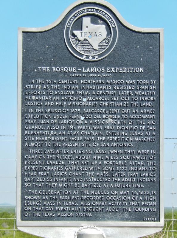
In the 16th century, northern Mexico was torn by strife as the Indian inhabitants resisted Spanish efforts to enslave them. A century later, wealthy humanitarian Antonio Balcarcel set out to invoke justice and help missionaries Christianize the land.
In the spring of 1675, Balcarcel sent out an armed expedition under Fernando Del Bosque to accompany Fray Juan de Larios on a mission north of the Rio Grande. Also in the party was Fray Dionisio de San Buenaventura, an army chaplain. Entering Texas at a site near present Eagle Pass, the expedition marched almost to the present site of San Antonio.
Three days after entering Texas, when they were in camp on the Nueces, about nine miles southwest of present Uvalde, they set up a portable altar. The expeditionaries gathered with some 1,172 Indians to hear Fray Larios chant the Mass. Later Fray Larios baptized 55 infants and instructed the adult Indians so that they might be baptized at a future time.
The celebration at the Nueces on May 16, 1675, is known as the earliest recorded occasion of a High (sung) Mass in Texas. Missionary activity that began on that day eventually brought about the founding of the Texas mission system.
Erected 1975 by Texas Historical Commission. (Marker Number 462.)
Topics. This historical marker is listed in these topic lists: Churches & Religion • Exploration • Native Americans. A significant historical date for this entry is May 16, 1675.
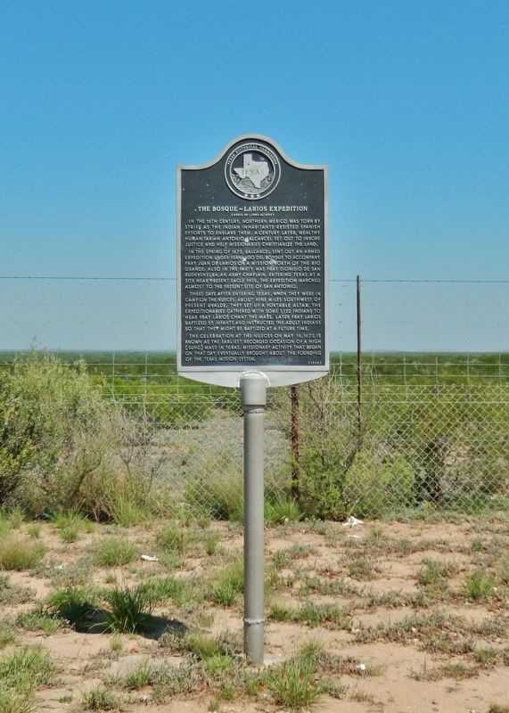
Location. 29° 4.257′ N, 99° 50.532′ W. Marker is near La Pryor, Texas, in Zavala County. Marker is on U.S. 83, 9.7 miles north of U.S. 57, on the left when traveling north. Marker is located in roadside park on west side of highway, just north of the Nueces River. Touch for map. Marker is in this post office area: La Pryor TX 78872, United States of America. Touch for directions.
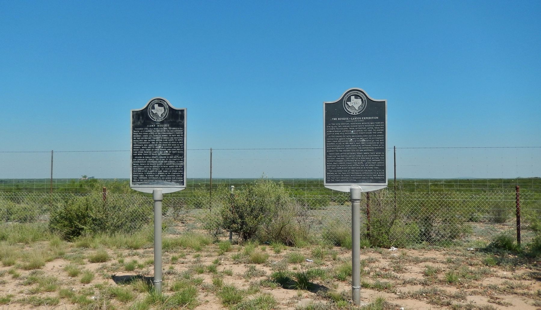
Other nearby markers. At least 8 other markers are within 9 miles of this marker, measured as the crow flies. Camp Nueces C.S.A. (here, next to this marker); Barracks for the Soldiers (approx. 8.7 miles away); Drawing of Fort Inge from this point of view (approx. 8.8 miles away); Picket Quartermaster Storehouse (approx. 8.8 miles away); Brush Arbor with Tents (approx. 8.8 miles away); Hospital and Commissary (approx. 8.8 miles away); Fort Wall (approx. 8.8 miles away); Site of Fort Inge (approx. 8.8 miles away).
Also see . . . The Bosque-Larios Expedition.
On April 30, 1675, Fernando del Bosque, Fray Juan Larios, Fray Dionisio de San Buenaventura, ten Spanish soldiers, Lázaro Agustín, governor of the Indian pueblo of San Miguel de Luna, Capt. Juan de la Cruz, and twenty Bobole Indians set out from the mission of Nuestra Señora de Guadalupe, at the site of present Monclova, Coahuila, to convert the Indians of the Coahuila. In all, the Spaniards traveled forty leagues past the Rio Grande and made six halts in south central Texas. (Submitted on December 13, 2017, by Cosmos Mariner of Cape Canaveral, Florida.)
Credits. This page was last revised on May 9, 2020. It was originally submitted on December 13, 2017, by Cosmos Mariner of Cape Canaveral, Florida. This page has been viewed 476 times since then and 55 times this year. Photos: 1, 2, 3. submitted on December 13, 2017, by Cosmos Mariner of Cape Canaveral, Florida. • Bernard Fisher was the editor who published this page.


