Del Rio in Val Verde County, Texas — The American South (West South Central)
City of Del Rio
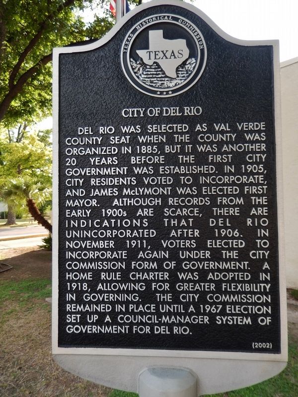
Del Rio was selected as Val Verde County seat when the county was organized in 1885, but it was another 20 years before the first city government was established. In 1905, city residents voted to incorporate, and James McLymont was elected first mayor. Although records from the early 1900s are scarce, there are indications that Del Rio unincorporated after 1906. In November 1911, voters elected to incorporate again under the city commission form of government. A home rule charter was adopted in 1918, allowing for greater flexibility in governing. The city commission remained in place until a 1967 election set up a council-manager system of government for Del Rio.
Erected 2002 by Texas Historical Commission. (Marker Number 12801.)
Topics. This historical marker is listed in this topic list: Notable Places.
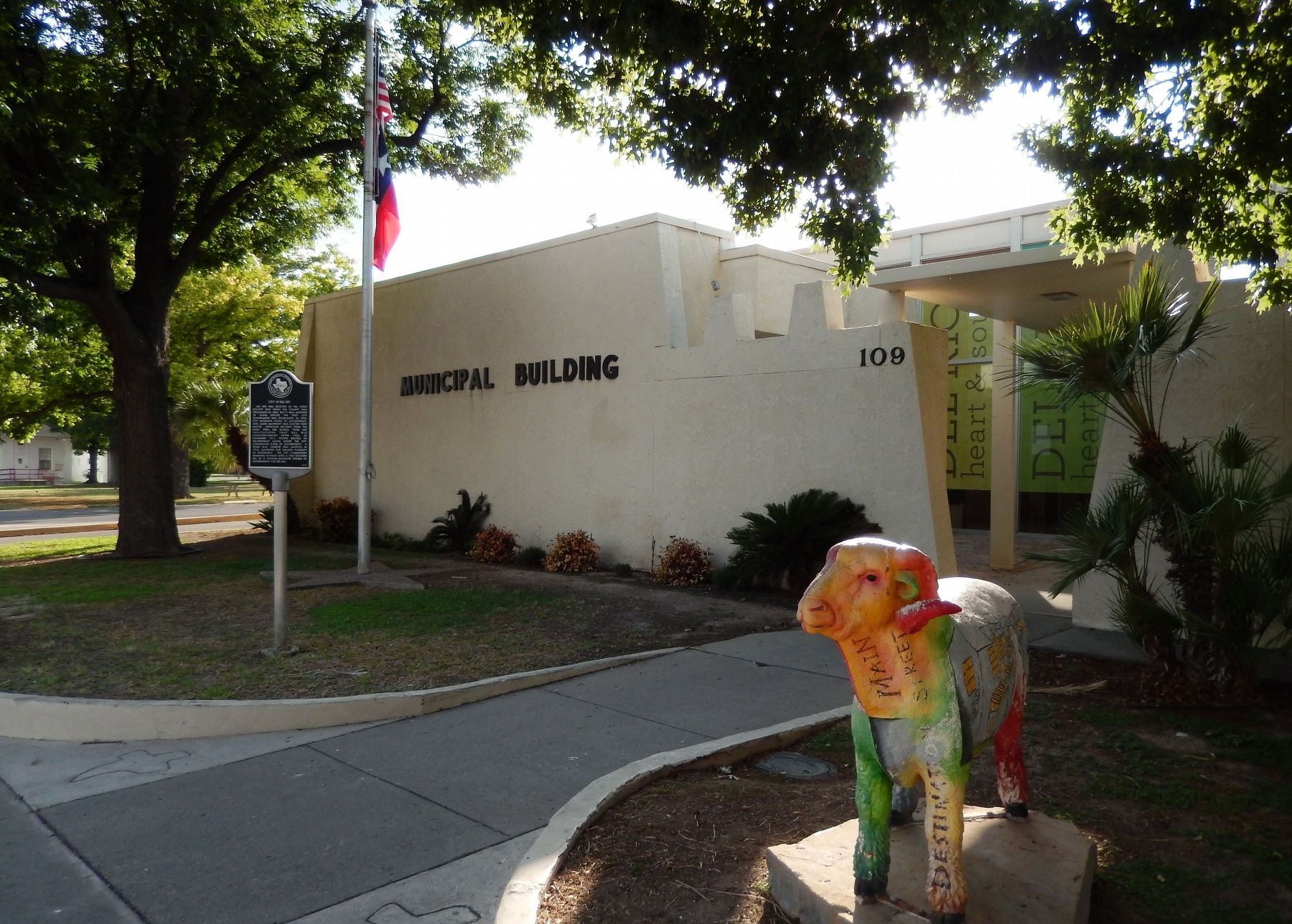
Location. 29° 21.652′ N, 100° 54.018′ W. Marker is in Del Rio, Texas, in Val Verde County. Marker is on West Broadway Street west of South Main Street, on the right when traveling west. Marker is located near entrance to Del Rio Municipal Building. Touch for map. Marker is at or near this postal address: 109 West Broadway Street, Del Rio TX 78840, United States of America. Touch for directions.
Other nearby markers. At least 8 other markers are within walking distance of this marker. Old Del Rio High School (about 500 feet away, measured in a direct line); Texas Sheep and Goat Raisers' Association (about 800 feet away); Elks Lodge Hall (approx. 0.2 miles away); Camp Hudson, C.S.A. (approx. 0.2 miles away); Old Del Rio National Bank Building (approx. 0.2 miles away); Val Verde County Courthouse Square (approx. 0.2 miles away); First United Methodist Church of Del Rio (approx. 0.2 miles away); Max and Anna Stool (approx. ¼ mile away). Touch for a list and map of all markers in Del Rio.
Also see . . . Del Rio, Texas.
Developments that led to the growth of Del Rio, took place after the Civil War. In the arid vastness of Southwest Texas, water was the key to survival; in the vicinity of Del Rio the San Felipe Springs provided millions of gallons. Developers acquired several thousand acres adjacent to San Felipe Creek and developed plans to sell tracts of rich farmland to prospective buyers. These investors formed the San Felipe Agricultural, Manufacturing, and Irrigation Company in 1868. The organization soon constructed a network of irrigation canals, completed in 1871. (Submitted on December 13, 2017, by Cosmos Mariner of Cape Canaveral, Florida.)
Credits. This page was last revised on December 13, 2017. It was originally submitted on December 13, 2017, by Cosmos Mariner of Cape Canaveral, Florida. This page has been viewed 373 times since then and 44 times this year. Photos: 1, 2, 3. submitted on December 13, 2017, by Cosmos Mariner of Cape Canaveral, Florida. • Bernard Fisher was the editor who published this page.


