Eagle Pass in Maverick County, Texas — The American South (West South Central)
Eagle Pass C.S.A.
(front)
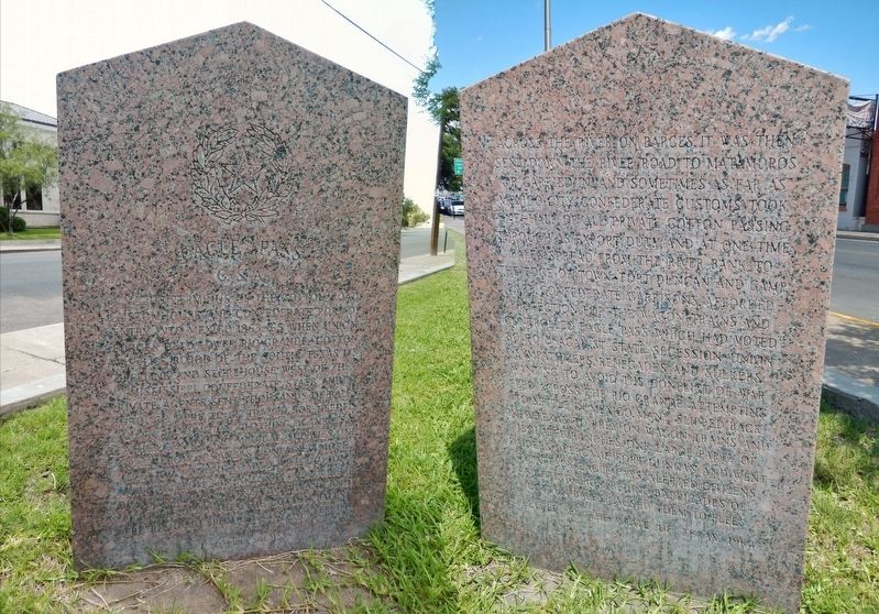
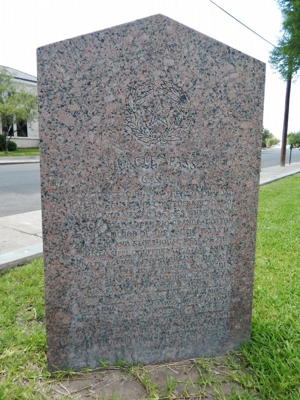
A major terminus of the Cotton Road, customhouse and Confederate port of entry into Mexico 1863-65 when Union forces held lower Rio Grande. Cotton was "lifeblood of the South," Texas its lifeline and storehouse west of the Mississippi. Confederate, state and private agents sent thousands of bales through here to be traded for needed guns, ammunition, clothing, blankets, leather goods and medical supplies. One Arkansas train contained more than 100 wagons loaded with cotton. Arriving from San Antonio over a hot, dusty road threatened by Indians and plagued by bandits, the cotton bales were removed from oxcarts and ferried
across the river on barges. It was then sent down the River Road to Matamoros or carried inland sometimes as far as Mexico City. Confederate customs took one-half of all private cotton passing through as export duty, and at one time bales spread from the river bank to the edge of town. Fort Duncan and Camp Rabb, Confederate garrisons, afforded protection for the wagon trains and controlled Eagle Pass which had voted 80 to 3 against state secession. Union sympathizers, renegades and sulkers wanting to avoid the conflict of war fled across the Rio Grande attempting to settle in Mexico. Many slipped back into Texas to prey on wagon trains and isolated ranches. One large party of raiders overcame Fort Duncan and went to attack Eagle Pass. Alerted citizens fighting from behind barricades of cotton bales caused them to flee.
Erected 1964 by State of Texas. (Marker Number 1326.)
Topics. This historical marker is listed in these topic lists: Industry & Commerce • Roads & Vehicles • War, US Civil.
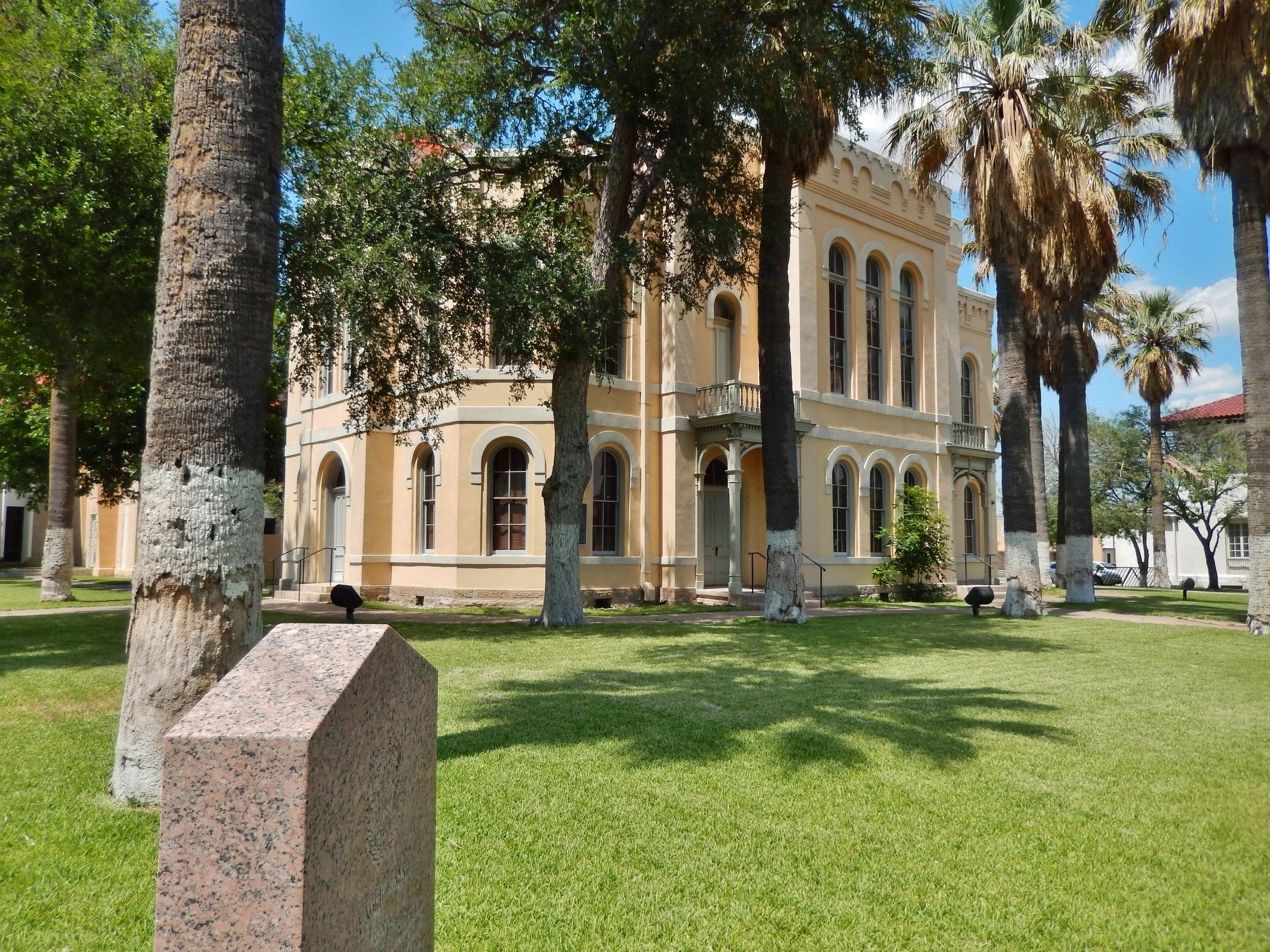
Location. 28° 42.514′ N, 100° 30.1′ W. Marker is in Eagle Pass, Texas, in Maverick County. Marker is at the intersection of Main Street (State Highway 240) and Madison Street, on the right when traveling west on Main Street. Marker is located at the Southeast corner of the Maverick County Courthouse grounds. Touch for map. Marker is at or near this postal address: 501 Main Street, Eagle Pass TX 78852, United States of America. Touch for directions.
Other nearby markers. At least 7 other markers are within 4 miles of this marker, measured as the crow flies. Maverick County Courthouse (a few steps from this marker); Maverick County (within shouting distance of this marker); Eagle Pass Post Office (within shouting distance of this marker); Fort Duncan (approx. 0.4 miles away); a different marker also named Fort Duncan (approx. 0.4 miles away); Fort Duncan Infantry Barracks (approx. half a mile away); Eagle Pass Coal Mines (approx. 3.2 miles away).
More about this marker. Marker is a large, double-sided, polished pink granite slab. The marker is weathered and somewhat difficult to read
Also see . . . Eagle Pass.
During the Civil War, a party of renegades crossed from Piedras Negras and overran the Confederate garrison at Fort Duncan. The townsmen, fighting from behind a barricade of cotton bales, successfully drove off their assailants. Following federal occupation of Brownsville in 1863, Eagle Pass became an important shipment point for Confederate cotton. After the war the last Confederate force in the field, the Shelby expedition, crossed the Rio Grande at Eagle Pass and in a ceremony buried in the river the last flag to fly over Confederate troops. (Submitted on December 14, 2017, by Cosmos Mariner of Cape Canaveral, Florida.)
Credits. This page was last revised on December 14, 2017. It was originally submitted on December 13, 2017, by Cosmos Mariner of Cape Canaveral, Florida. This page has been viewed 371 times since then and 81 times this year. Photos: 1. submitted on December 13, 2017, by Cosmos Mariner of Cape Canaveral, Florida. 2, 3, 4. submitted on December 14, 2017, by Cosmos Mariner of Cape Canaveral, Florida. • Bernard Fisher was the editor who published this page.


