Snyder in Scurry County, Texas — The American South (West South Central)
First Methodist Church
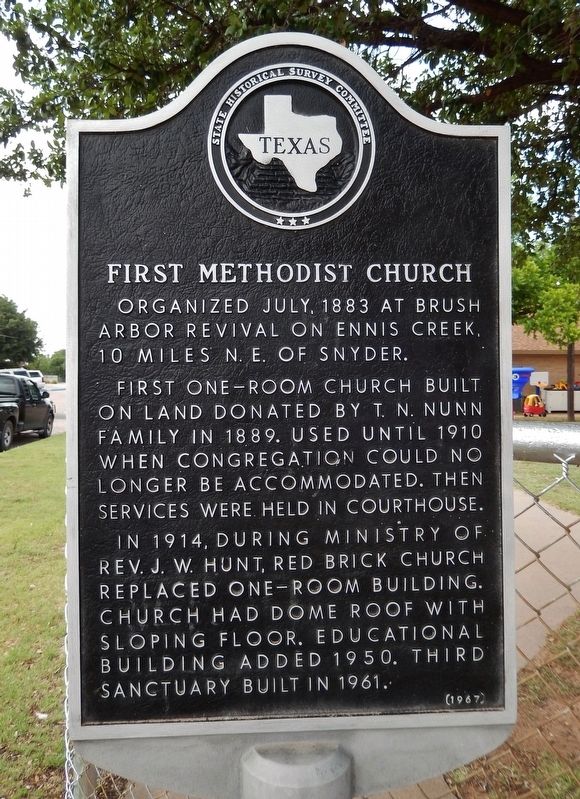
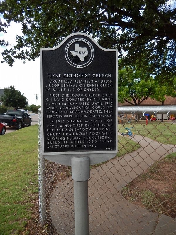
Organized July, 1883 at Brush Arbor Revival on Ennis Creek, 10 miles N.E. of Snyder.
First one-room church built on land donated by T. N. Nunn Family in 1889. Used until 1920 when congregation could no longer be accommodated. Then services were held in courthouse.
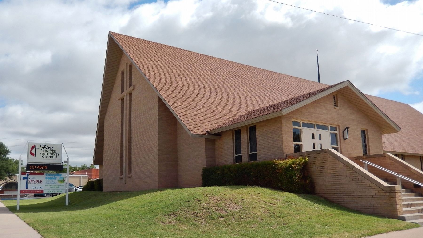
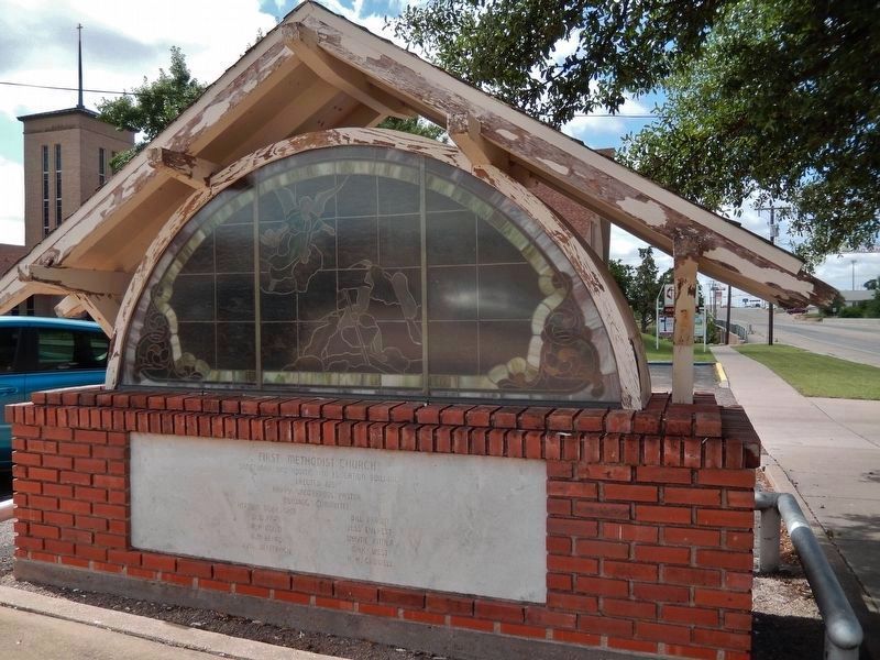
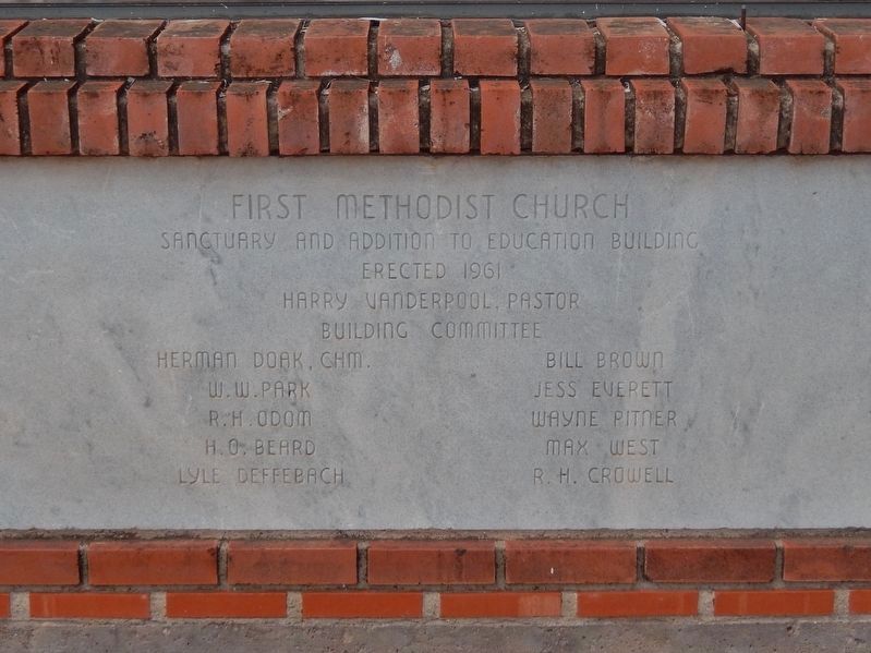
In 1914, during ministry of Rev. J.W. Hunt, red brick church replaced one-room building. Church had dome roof with sloping floor. Educational building added 1950. Third sanctuary built in 1961.
Erected 1967 by State Historical Survey Committee. (Marker Number 1744.)
Topics. This historical marker is listed in these topic lists: Churches & Religion • Man-Made Features. A significant historical month for this entry is July 1883.
Location. 32° 42.901′ N, 100° 55.042′ W. Marker is in Snyder, Texas, in Scurry County. Marker is at the intersection of 27th Street and Avenue R, on the right when traveling east on 27th Street. Marker is located at the northeast corner of the church property. Touch for map. Marker is at or near this postal address: 2700 College Avenue, Snyder TX 79549, United States of America. Touch for directions.
Other nearby markers. At least 8 other markers are within walking distance of this marker. First Presbyterian Church (within shouting distance of this marker); Site of Sanitarium of Alonzo Orrin Scarborough (about 400 feet away, measured in a direct line); Site of Store of William Henry "Pete" Snyder (about 400 feet away); First Baptist Church of Snyder (about 400 feet away); Site of The MacKenzie Trail (about 400 feet away); Scurry County Jail of 1912 (about 400 feet away); Santa Fe Railway in Scurry County (about 500 feet away); The Press in Snyder (about 500 feet away). Touch for a list and map of all markers in Snyder.
Credits. This page was last revised on December 16, 2017. It was originally submitted on December 14, 2017, by Cosmos Mariner of Cape Canaveral, Florida. This page has been viewed 268 times since then and 59 times this year. Photos: 1, 2, 3, 4, 5. submitted on December 14, 2017, by Cosmos Mariner of Cape Canaveral, Florida. • Bernard Fisher was the editor who published this page.
