Folsom in Sacramento County, California — The American West (Pacific Coastal)
Ashland Station
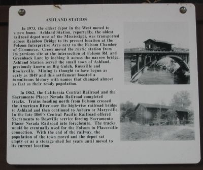
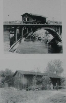
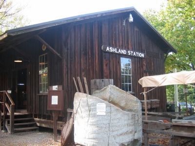
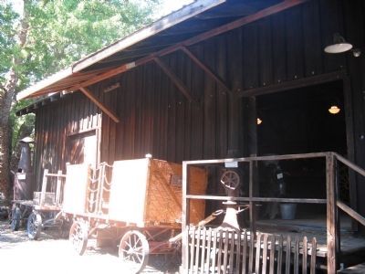
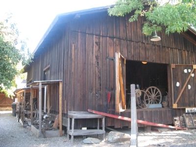
In 1973, the oldest depot in the West moved to a new home. Ashland Station, reportedly the oldest railroad depot west of the Mississippi, was transported across Rainbow Bridge to its present location at the Folsom Interpretive Area next to the Folsom Chamber of Commerce. Crews moved the rustic station from its previous site at the intersection of Folsom Rd. and Greenback Lane by inching it across the narrow bridge. Ashland Station served the small town of Ashland, previously known as Big Gulch, Russville and Rowlesville. Mining is thought to have begun as early as 1849 and this settlement boasted a tumultuous history with names that changed almost as fast as their rowdy population.
In 1862, the California Central Railroad and the Sacramento Placer Nevada Railroad completed tracks. Trains heading north from Folsom crossed the American River over the high-rise railroad bridge to Ashland and then continued to Auburn or Marysville. In the late 1860’s Central Pacific Railroad offered Sacramento to Roseville service forcing Sacramento Placer Nevada Railroad into foreclosure. The tracks would be eventually used for the Folsom to Placerville connection. With the end of the railway, the population of the town moved and the depot sat empty or as a storage shed for years until moved to its current location.
Topics. This historical marker is listed in this topic list: Railroads & Streetcars. A significant historical year for this entry is 1973.
Location. 38° 40.653′ N, 121° 10.713′ W. Marker is in Folsom, California, in Sacramento County. Marker can be reached from Wool Street near Leidesdorf Street. Touch for map. Marker is in this post office area: Folsom CA 95630, United States of America. Touch for directions.
Other nearby markers. At least 8 other markers are within walking distance of this marker. New Uses on the Rail Yard (within shouting distance of this marker); Turning Locomotives in Folsom (about 300 feet away, measured in a direct line); Turning the Trains (about 400 feet away); Folsom History Museum (about 400 feet away); Folsom Pony Express Terminus (about 400 feet away); Sacramento Valley Railroad (about 400 feet away); J. Clifton Toney (about 400 feet away); Wells Fargo and Company (about 400 feet away). Touch for a list and map of all markers in Folsom.
Regarding Ashland Station. Ashland Station is located at the Folsom Interpretive Area on Wool Street.
Also see . . .
1. Train Web -Brief History of the Sacramento Placer Nevada Railroad. (Submitted on September 6, 2008, by Syd Whittle of Mesa, Arizona.)
2. Central Pacific Railroad Photographic History Museum - Rails of the West. (Submitted on September 6, 2008, by Syd Whittle of Mesa, Arizona.)
Photographed By Syd Whittle, November 12, 2005
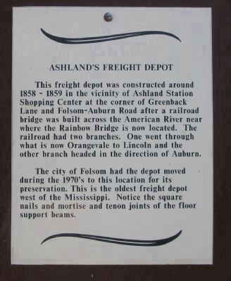
5. Marker on Sign Board in Front of Station
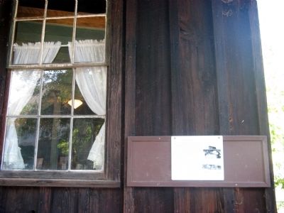
This freight depot was constructed around 1858-1859 in the vicinity of Ashland Station Shopping Center at the corner of Greenback Lane and Folsom-Auburn Road after a railroad bridge was built across the American River near where the Rainbow Bridge is now located. The railroad had two branches. One went through what is now Orangevale to Lincoln and the other branch headed in the direction of Auburn.
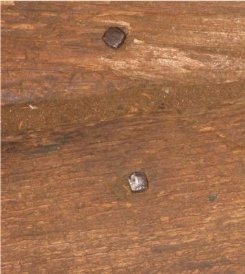
The City of Folsom had the depot moved during the 1970's to this location for its preservation. This is the oldest freight depot west of the Mississippi. Notice the square nails and mortise and tenon joints of the floor support beams.
The City of Folsom had the depot moved during the 1970's to this location for its preservation. This is the oldest freight depot west of the Mississippi. Notice the square nails and mortise and tenon joints of the floor support beams.
Credits. This page was last revised on August 18, 2020. It was originally submitted on September 6, 2008, by Syd Whittle of Mesa, Arizona. This page has been viewed 2,416 times since then and 33 times this year. Photos: 1, 2. submitted on September 6, 2008, by Syd Whittle of Mesa, Arizona. 3. submitted on September 7, 2008, by Syd Whittle of Mesa, Arizona. 4, 5. submitted on September 6, 2008, by Syd Whittle of Mesa, Arizona. 6, 7, 8. submitted on September 7, 2008, by Syd Whittle of Mesa, Arizona. • Kevin W. was the editor who published this page.
