Teotihuacán de Arista in Teotihuacán, Mexico State, Mexico — The Central Highlands (North America)
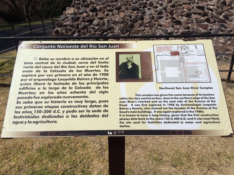
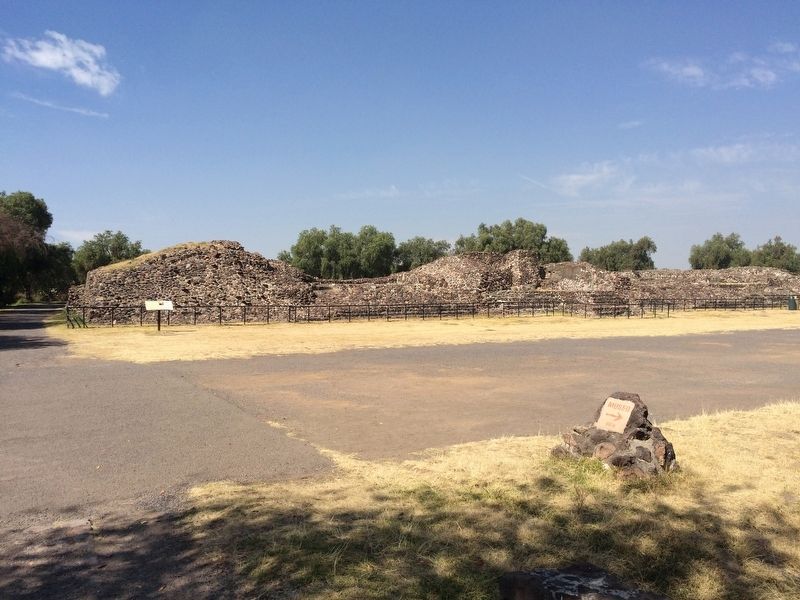
Northwest San Juan River Complex
Conjunto Noreste del Río San Juan
Debe su nombre a su ubicación en el área central de la ciudad, cerca del límite norte del cauce del Río San Juan y en el lado oeste de la Calzada de los Muertos. Se exploró por vez primera en el año de 1908 por el arqueólogo Leopoldo Batres y Huerta, quien liberó la fachada de los principales edificios a lo largo de la Calzada de los Muertos; en los años ochenta del siglo pasado fue explorado nuevamente. Se sabe que su historia es muy larga, pues sus primeras etapas constructivas datan de los años 150-200 d.C. y pudo ser la sede de festividades dedicadas a las deidades del agua y la agricultura.
Pie de dibujo: Leopoldo Batres
English:
Northwest San Juan River Complex
This complex was given this name because of its location within the city's central section, close to the northern edge of the San Juan River’s riverbed and on the west side of the Avenue of the Dead. It was first explored in 1908 by Archaeologist Leopoldo Batres y Huerta, who cleared out the facades of the Avenue of the Dead's main buildings. It was again explored in the 1980s. It is known to have a long history, given that the first construction phases date back to the years 150 to 200 A.D. and it was most likely the site used for festivities dedicated to water and agriculture deities.
Caption: Leopoldo Batres
Erected by Instituto Nacional de Antropología e Historia (INAH).
Topics. This historical marker is listed in these topic lists: Anthropology & Archaeology • Architecture • Man-Made Features. A significant historical year for this entry is 1908.
Location. 19° 41.164′ N, 98° 50.884′ W. Marker is in Teotihuacán de Arista, Estado de Mexico (Mexico State), in Teotihuacán. Marker can be reached from Calle Paloma just west of Calle Tuxpan. Touch for map. Marker is in this post office area: Teotihuacán de Arista MEX 55880, Mexico. Touch for directions.
Other nearby markers. At least 8 other markers are within walking distance of this marker. Plaza C of the Avenue of the Dead Complex (about 150 meters away, measured in a direct line); Avenue of the Dead Complex (about 210 meters away); Plaza B of the Avenue of the Dead Complex (approx. 0.2 kilometers away); Jaguar and Serpent Heads (approx. 0.3 kilometers away); West Plaza Complex (approx. 0.3 kilometers away); Plaza A of the Avenue of the Dead Complex (approx. 0.4 kilometers away); Avenue of the Dead (approx. 0.4 kilometers away); Monolithic Sculpture of a Water-related Deity (approx. 0.4 kilometers away). Touch for a list and map of all markers in Teotihuacán de Arista.
Credits. This page was last revised on December 16, 2017. It was originally submitted on December 16, 2017, by J. Makali Bruton of Accra, Ghana. This page has been viewed 142 times since then and 16 times this year. Photos: 1, 2. submitted on December 16, 2017, by J. Makali Bruton of Accra, Ghana.

