Covington in St. Tammany Parish, Louisiana — The American South (West South Central)
Columbia Street
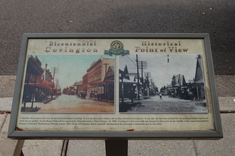
Columbia Street meets the river at the Columbia Street Landing. It was the first place visitors saw when they arrived in Covington. It was also the last stop on land for the area's principal exports on their way to market via the Bogue Falaya River across Lake Pontchartrain to New Orleans. In 1890, Covington's new town hall was situated in the ox lot in the middle of the square bounded by Boston, Columbia, Rutland and Florida streets. This block of Columbia Street naturally developed as the principal commercial area in the town.
Erected 2013 by City of Covington.
Topics. This historical marker is listed in these topic lists: Industry & Commerce • Roads & Vehicles • Settlements & Settlers.
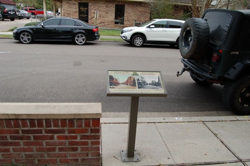
Location. 30° 28.508′ N, 90° 5.657′ W. Marker is in Covington, Louisiana, in St. Tammany Parish. Marker is at the intersection of Columbia Street and Walker Alley, on the right when traveling south on Columbia Street. Touch for map. Marker is at or near this postal address: 205 North Columbia Street, Covington LA 70433, United States of America. Touch for directions.
Other nearby markers. At least 8 other markers are within walking distance of this marker. The Covington Bank and Trust Building (within shouting distance of this marker); Columbia Street Landing (about 400 feet away, measured in a direct line); Courthouse Square and Historic Oaks (about 400 feet away); The Southern Hotel (about 400 feet away); H.J. Smith and Sons Hardware and Museum (about 400 feet away); Public "Ox Lot" Parking (about 700 feet away); Reconstruction Period (about 700 feet away); a different marker also named Public "Ox Lot" Parking (approx. 0.2 miles away). Touch for a list and map of all markers in Covington.
Credits. This page was last revised on April 7, 2024. It was originally submitted on December 17, 2017, by Cajun Scrambler of Assumption, Louisiana. This page has been viewed 263 times since then and 24 times this year. Photos: 1, 2. submitted on December 17, 2017.

